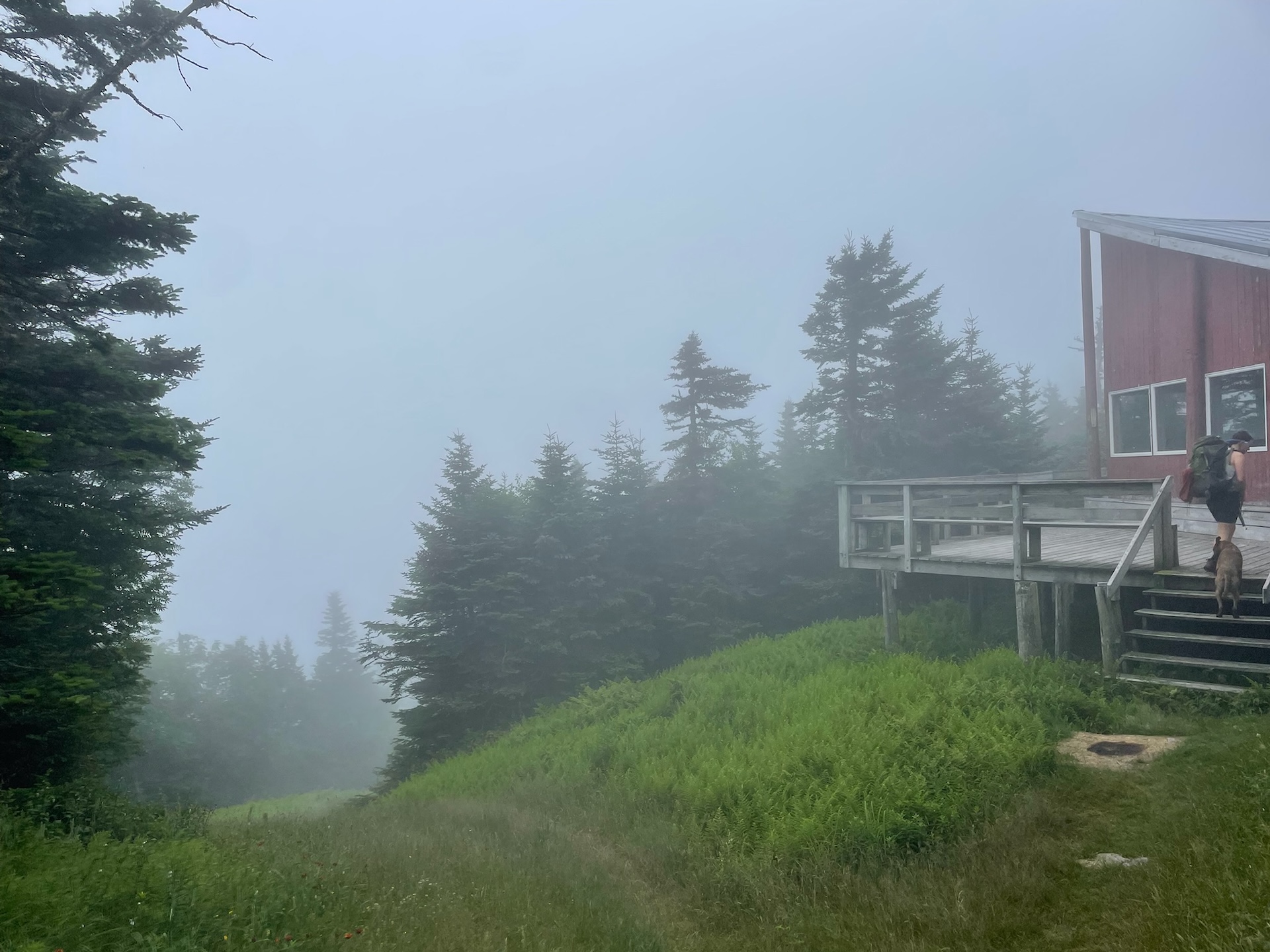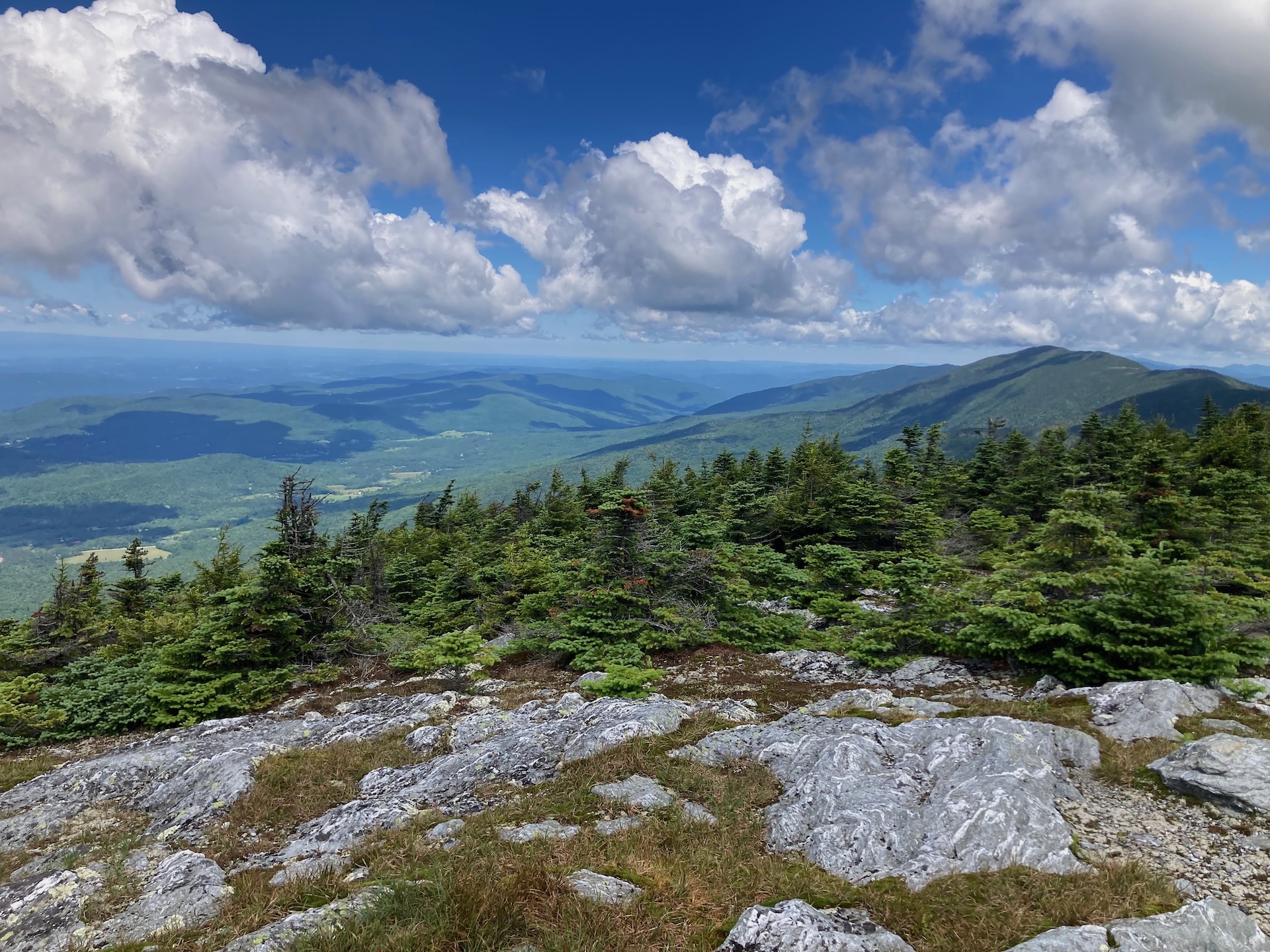
This classic section of the Long Trail, the Monroe Skyline day hike, requires two cars and a drop-off at one end of the hike. It can be hiked in either direction but this description goes north to south. This hike summits two of Vermont’s five 4,000-foot peaks (Mt. Abraham and Mt. Ellen). Allow all day for this hike, or stay overnight around the halfway point at Glen Ellen Lodge.
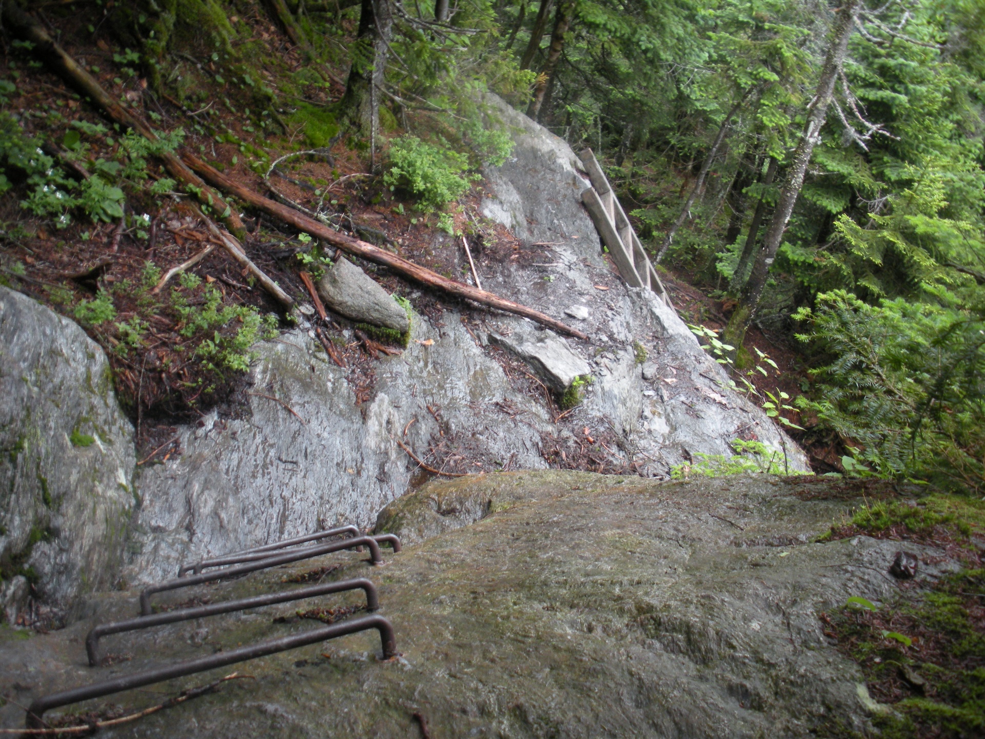
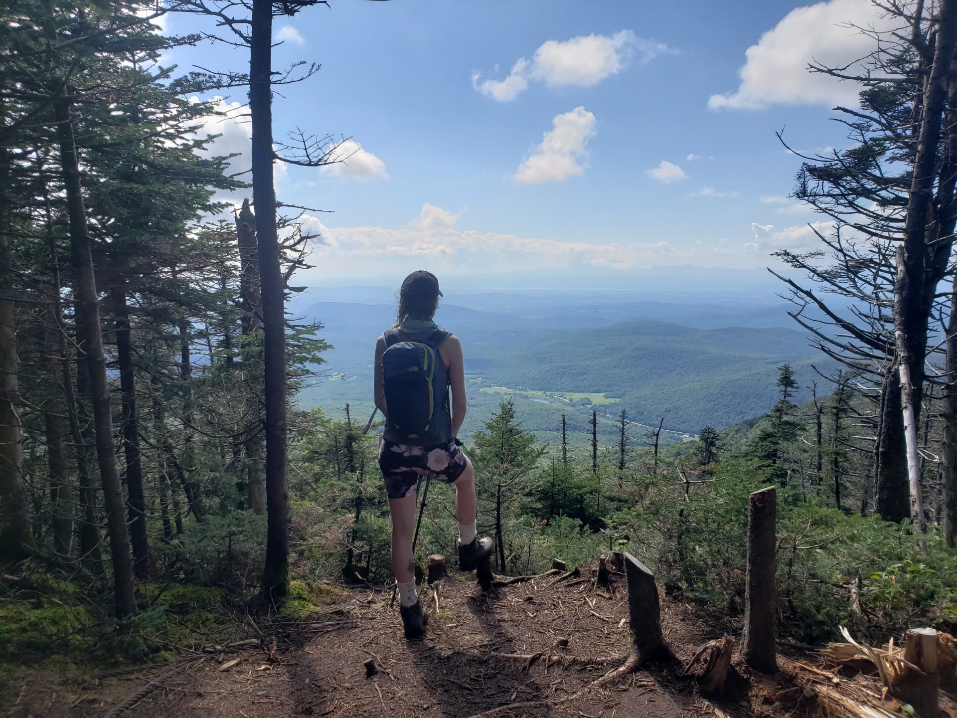
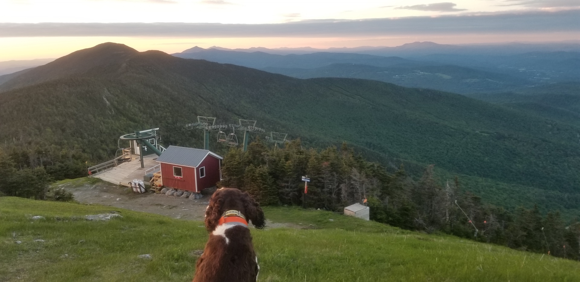
From the Appalachian Gap parking lot on Route 17, cross Route 17 to begin on Long Trail South. Begin climbing up General Stark Mountain, over rock ledges, some with rebar ladders. This section of trail may be challenging for pets. Pass the Mad River Glen Sunnyside Chairlift station, and after 1.8 steep miles, reach Theron Dean Shelter, with a unique trail through a cave. Continue past the shelter for 0.6 mi. until reaching Stark’s Nest at 3,644’ (2.4 mi). From here, most of the elevation change is more gradual as you continue along the ridgeline. Reach General Stark Mountain 3,662’ (3.0 mi). Continue straight on the Long Trail, passing the summits of Mt. Ellen (5.2 mi), Castlerock (6.8 mi), Lincoln Peak (8.1 mi), and finally Mt. Abraham (8.9 mi.), with its open, alpine summit. Begin to descend, scrambling in places, and pass Battell Shelter on the left at (9.7 mi.), before reaching Lincoln Gap and your second car in the parking lot at 11.5 mi.
This portion of the Long Trail, from Lincoln Gap to the Winooski River, is named the Monroe Skyline in honor of Prof. Will S. Monroe, who led the effort to build this section of trail in the 1910s.