
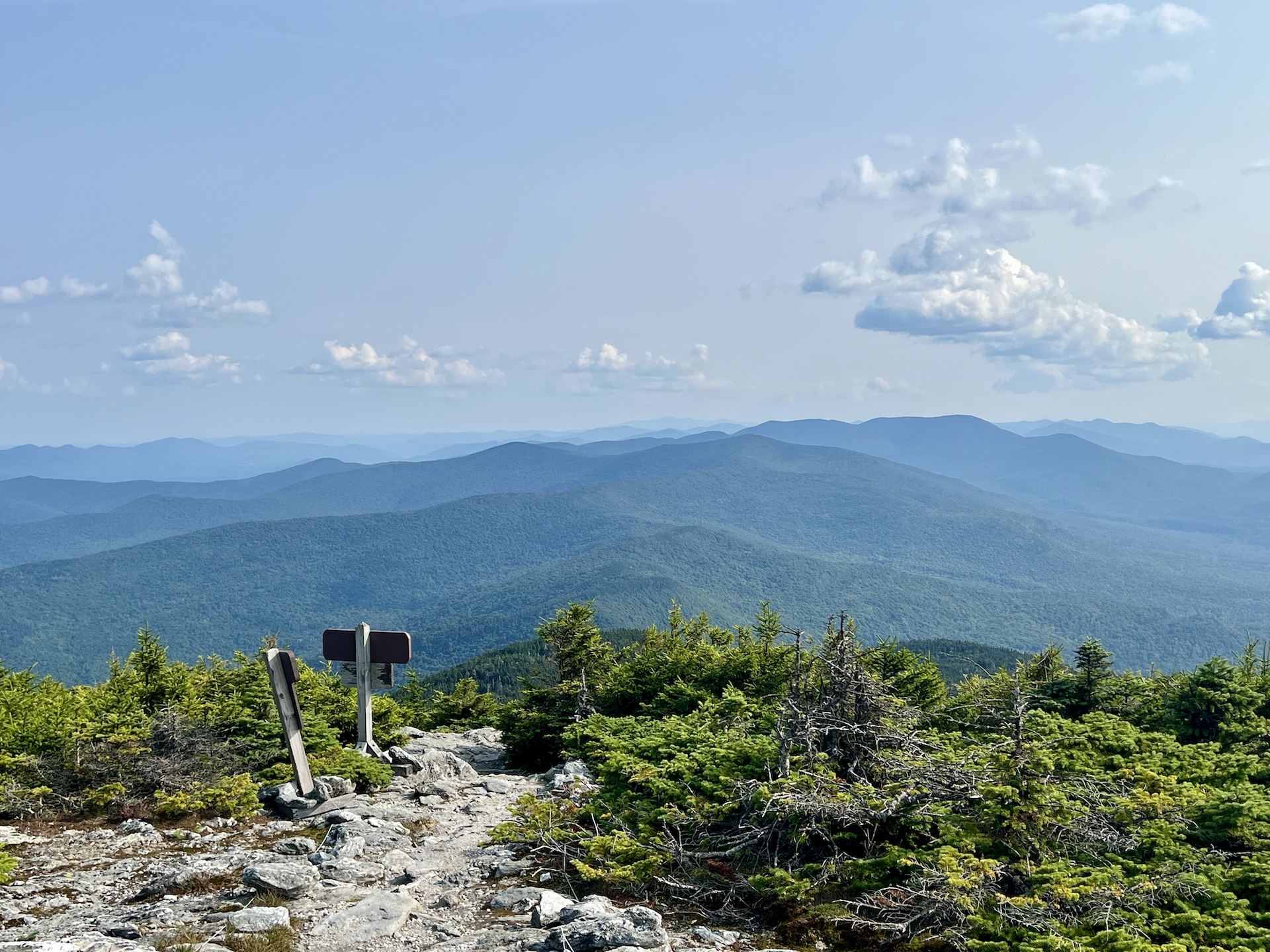
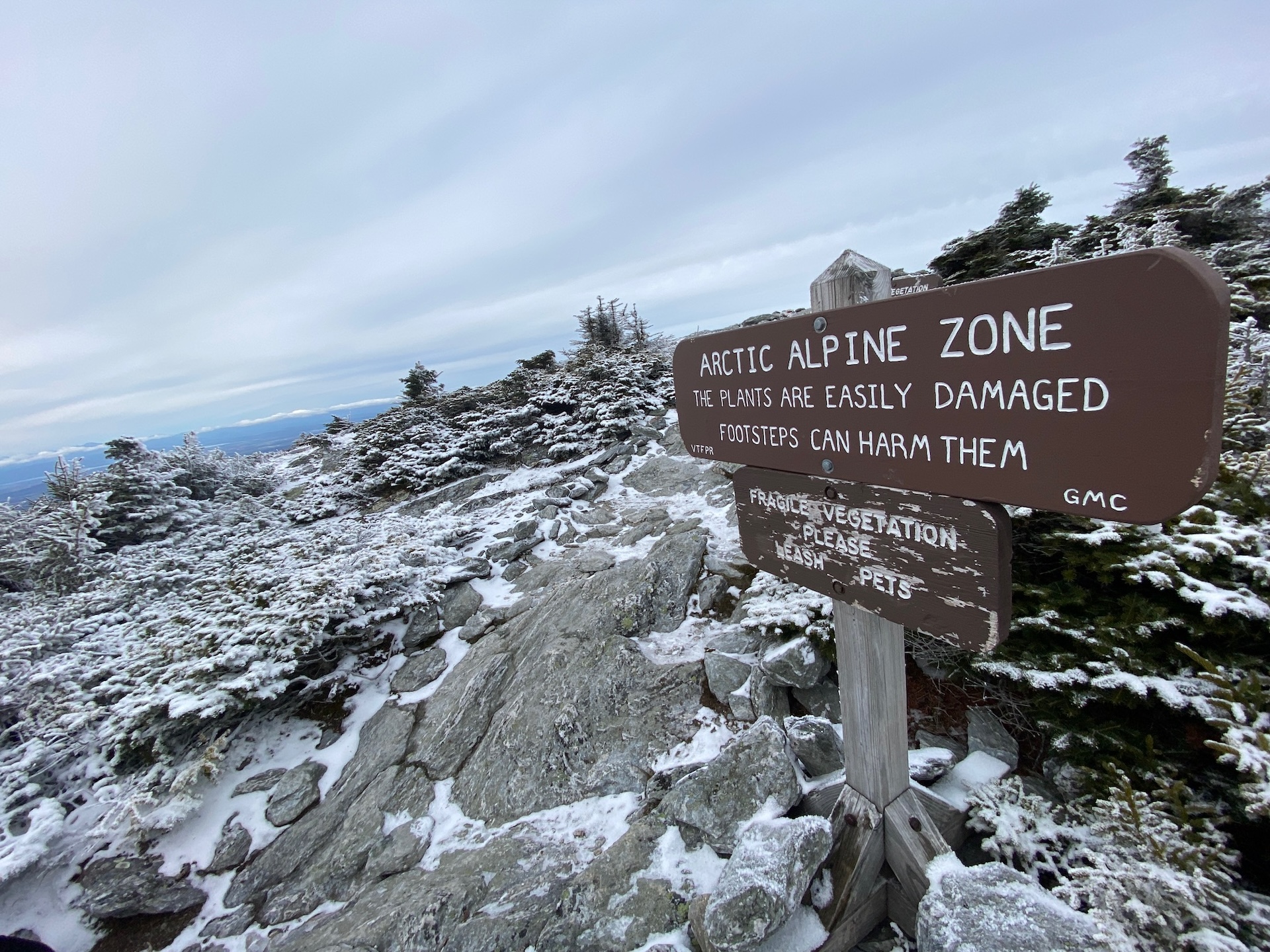
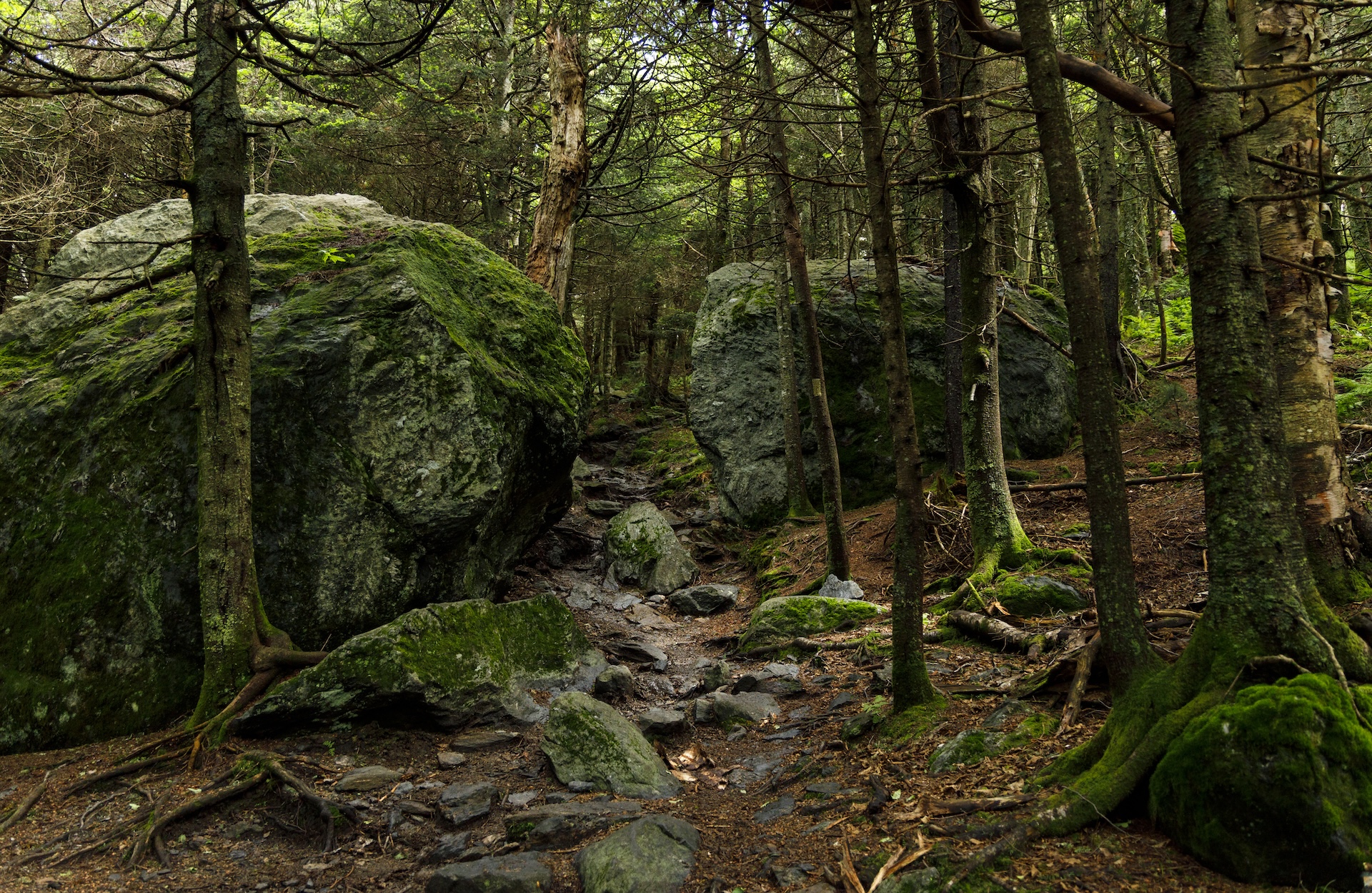
From the Lincoln Gap trailhead, hike north on the Long Trail for 1.7 miles to Battell Shelter. Continue 0.9 miles on Long Trail North (2.6 mi). This section north of the shelter includes a few rocky scrambles before emerging above tree line and reaching the Mount Abraham summit at 4,006’. Mt. Abe is one of the five 4,000-foot peaks in Vermont, and from the summit there are views of the Champlain Valley and Adirondack Mountains. The summit is also home to a small amount of rare and fragile alpine vegetation. Please take care to walk only on rock, as the plants are easily permanently damaged by foot traffic. To return, head back down the Long Trail going south for 2.6 mi. (5.2 mi).
Mt. Abraham via the Long Trail
Description
Trail Map
Photo Gallery

Getting There
Weather Conditions
Weather in Vermont can vary widely, especially in the mountains. Exposure to heat, humidity, rain, wind, snow, cold, and/or thunderstorms can all pose a risk to the hiker. Be sure to get up-to-date weather conditions before starting your hike.


Long Trail Guide 29th Edition

Get the Map!
Mount Mansfield and the Worcester Range

Get the Map!
Camel’s Hump and the Monroe Skyline

Get the Map!
Northeast Kingdom Hiking Trail Map

Get the Map!
Killington Area Hiking Trail Map with Ascutney & Okemo