Stratton Mountain-Stratton Pond Loop

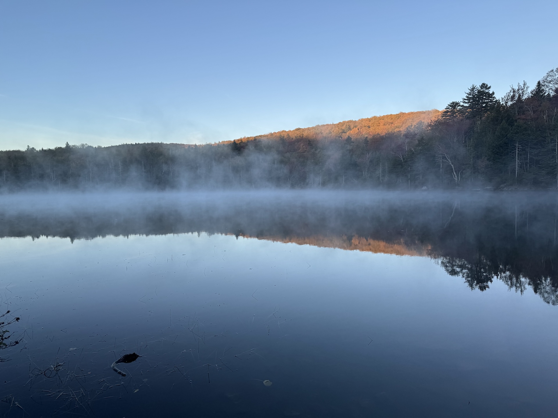
mist rises above still pond water
Region Manchester Area, Southern Vermont
Length 11.5Miles
Difficulty Difficult, Moderate
Elevation Gain

2200

Vertical Feet
Type

Loop

Good For Backpacking, Day Hiking, Foliage, Pond or lake, Summits, Views

Description

Note that this loop trail will start/end at two different trailheads roughly 0.9 mi from each other; you can hike on the road to return to your car. 

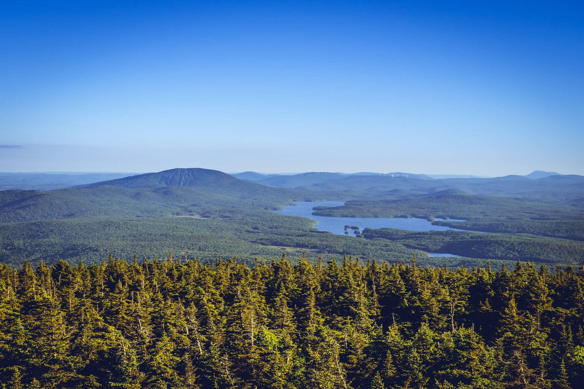
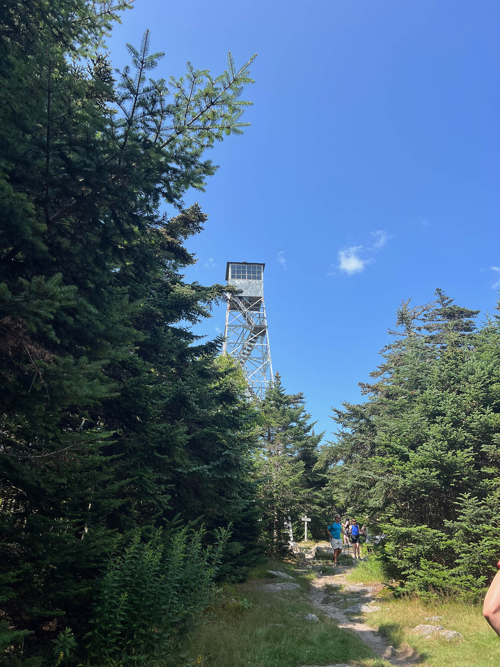
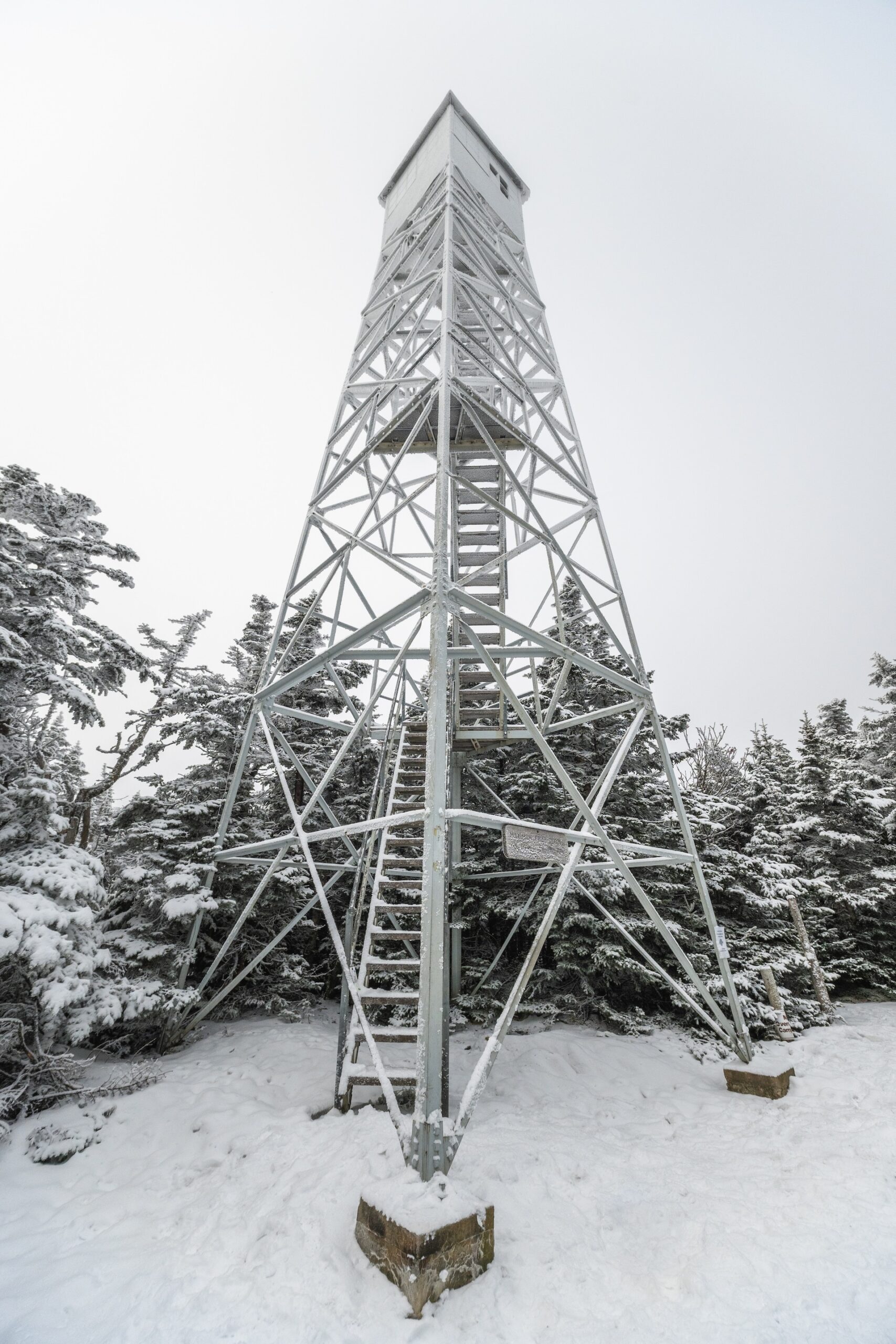
Starting from the Long Trail/Appalachian Trail parking lot, following white blazes, head north for 3.8 miles on the LT/AT to the summit of Stratton Mountain at 3,940’.  A 70-foot fire tower, originally built by the CCC and renovated in 2011 by the Long Trail Patrol, sits atop the summit, offering 360-degree views (3.8 mi). Continue past Stratton Mountain summit for 3.1 miles gradually descending to Stratton Pond (6.9 mi). Take a left off the LT/AT to a blue-blazed spur trail. Willis Ross Clearing, a viewpoint of the pond, is 0.1 mi. off the LT/AT (7.0 mi) and is a nice spot to enjoy a break or lunch. Continue past Stratton Pond Shelter to meet up with the intersection for the Stratton Pond Trail. Continue on Stratton Pond Trail for 3.7 mi (10.7 mi) back to the Stratton Pond Trail parking lot which is 0.9 mi. (via Kelley Stand Road) from the AT/LT parking lot (11.6 mi.).   

This route makes a nice overnight itinerary by staying the night at Stratton Pond Shelter. 


Trail Map


Getting There

From Manchester: Take US 7 south until exit 3. At exit, turn right onto 313W and then take an immediate right on South Road. At end of S Rd, turn right on Kansas Rd. Cross under US 7 and turn right on Kelley Stand Road (also known as Stratton Arlington Road). After 9.5 mi, turn into the parking lot on your left.

From Wardsboro: Take 100S out of town. Turn right on Stratton-Arlington Road (also known as Kelley Stand Road). After 7.9 mi, turn into the parking lot on your right.


wood grain texture

Long Trail Guide 29th Edition

wood grain texture
Mansfield_Map_5th_Ed

Get the Map!

Mount Mansfield and the Worcester Range

wood grain texture

Get the Map!

Camel’s Hump and the Monroe Skyline

wood grain texture
NEK2019map_web_large

Get the Map!

Northeast Kingdom Hiking Trail Map

wood grain texture
Killington2022_Map_Cover_low-res_002_large

Get the Map!

Killington Area Hiking Trail Map with Ascutney & Okemo

wood grain texture

Sign up for emails to get seasonal hiking advice