
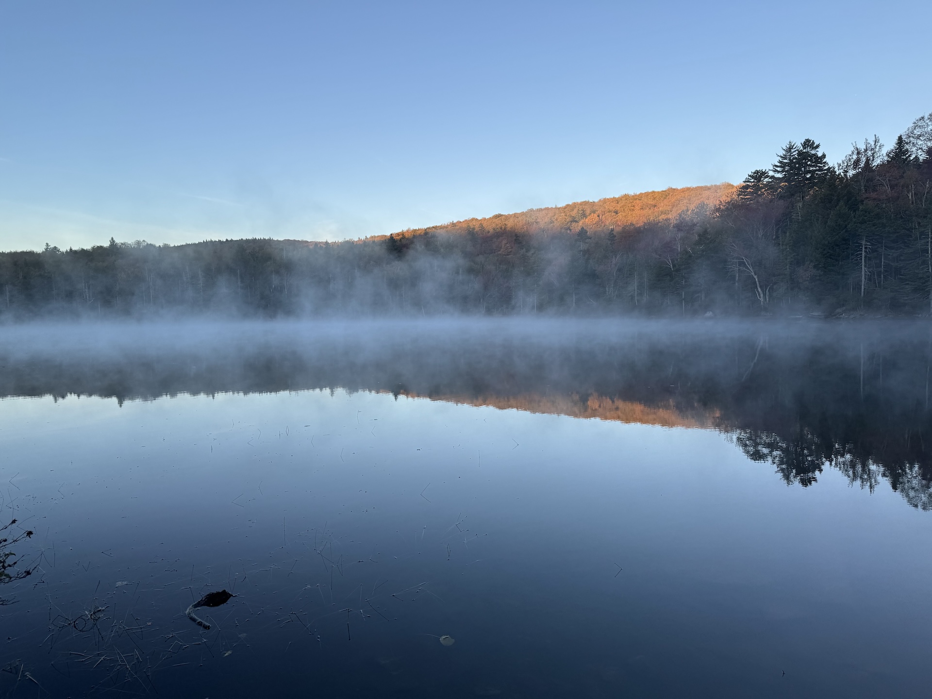
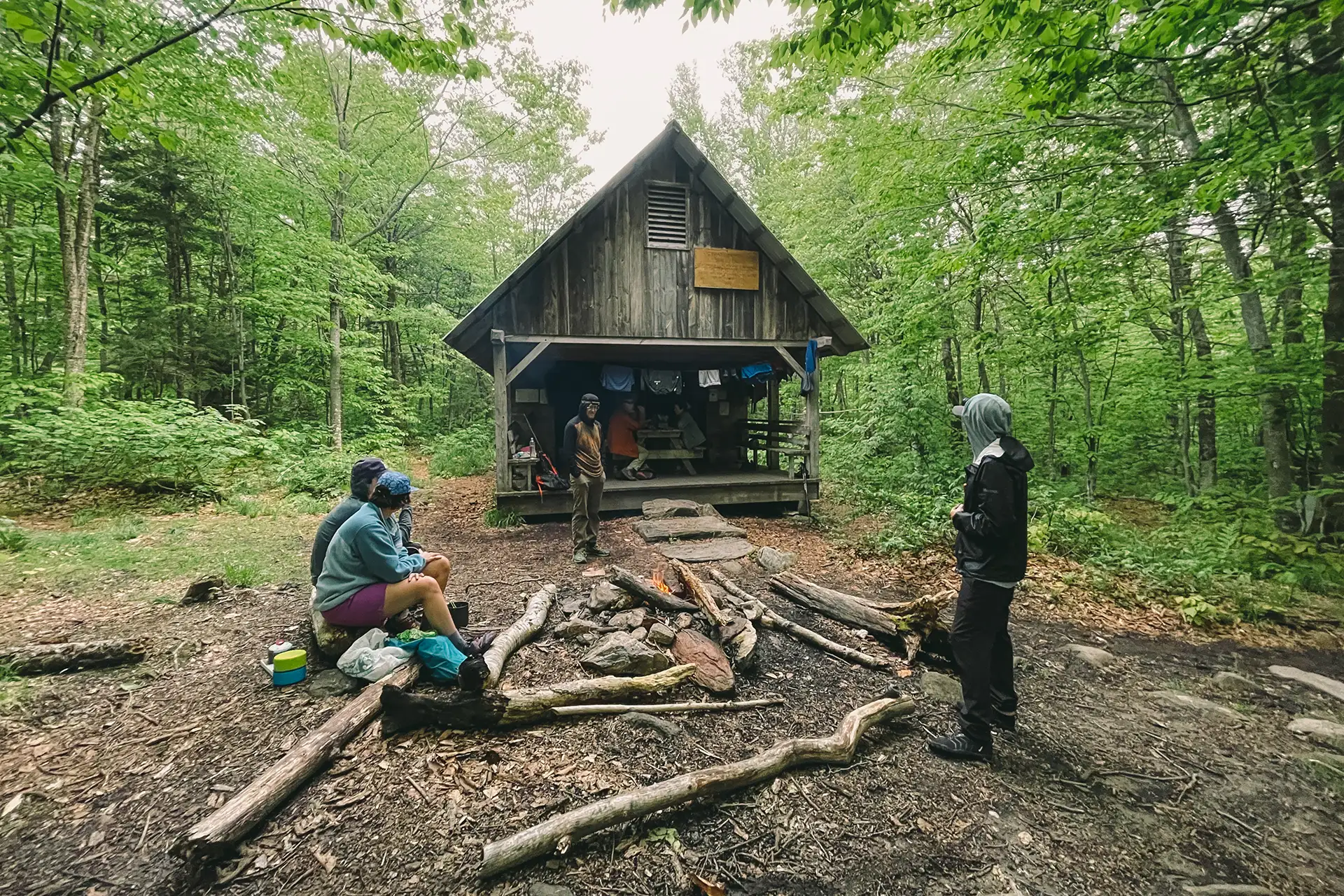
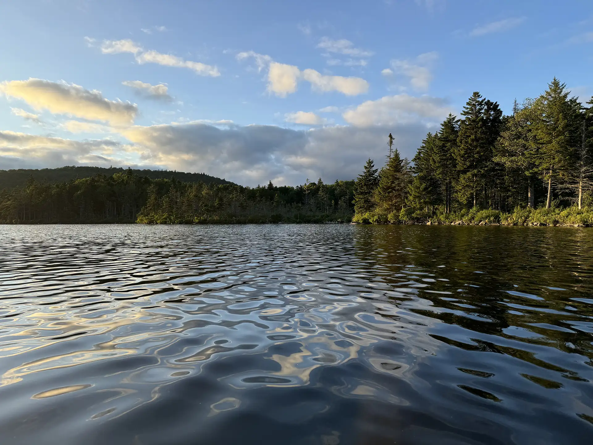
From the parking lot, head north on the gently rolling Stratton Pond Trail. At approximately 1 mile from the parking lot the Catamount Trail joins the same route. Follow the trail for approximately 2.5 more miles until an intersection with the Lye Brook Falls Trail on the left. Continue straight/right to stay on the Stratton Pond Trail to Stratton Pond Shelter spur. (3.7 mi). To reach the pond, turn left, then take the Pond Spur 0.1 miles to the pond’s shore at the Willis Ross Clearing (3.8 mi). Return the way you came, detouring to Stratton Pond Shelter for lunch if desired. (7.6 mi)
Stratton Pond Trail
Description
Trail Map
Photo Gallery

Getting There
Weather Conditions
Weather in Vermont can vary widely, especially in the mountains. Exposure to heat, humidity, rain, wind, snow, cold, and/or thunderstorms can all pose a risk to the hiker. Be sure to get up-to-date weather conditions before starting your hike.


Long Trail Guide 29th Edition

Get the Map!
Mount Mansfield and the Worcester Range

Get the Map!
Camel’s Hump and the Monroe Skyline

Get the Map!
Northeast Kingdom Hiking Trail Map

Get the Map!
Killington Area Hiking Trail Map with Ascutney & Okemo