
Region: Northern Vermont
-
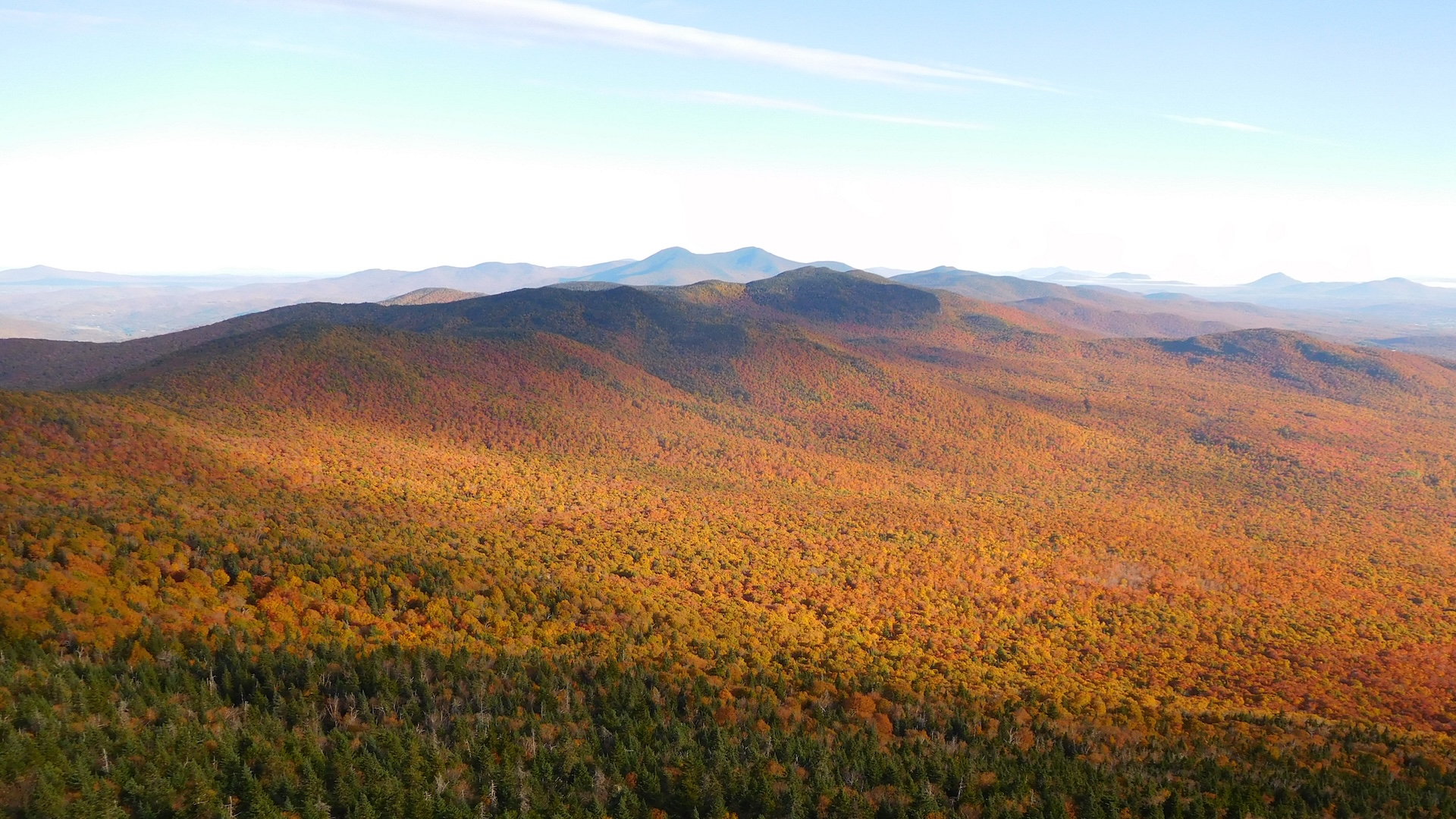
Belvidere Mountain via Long Trail
From the parking lot on Route 118, hike north on the LT. After about 0.2 mi, the trail bears west as you begin hiking over new tread (GMC crews relocated nearly one mile of Long Trail to follow a more sustainable grade on public land in 2025 and 2026). The new trail, built with a combination of a mini-excavator…
-
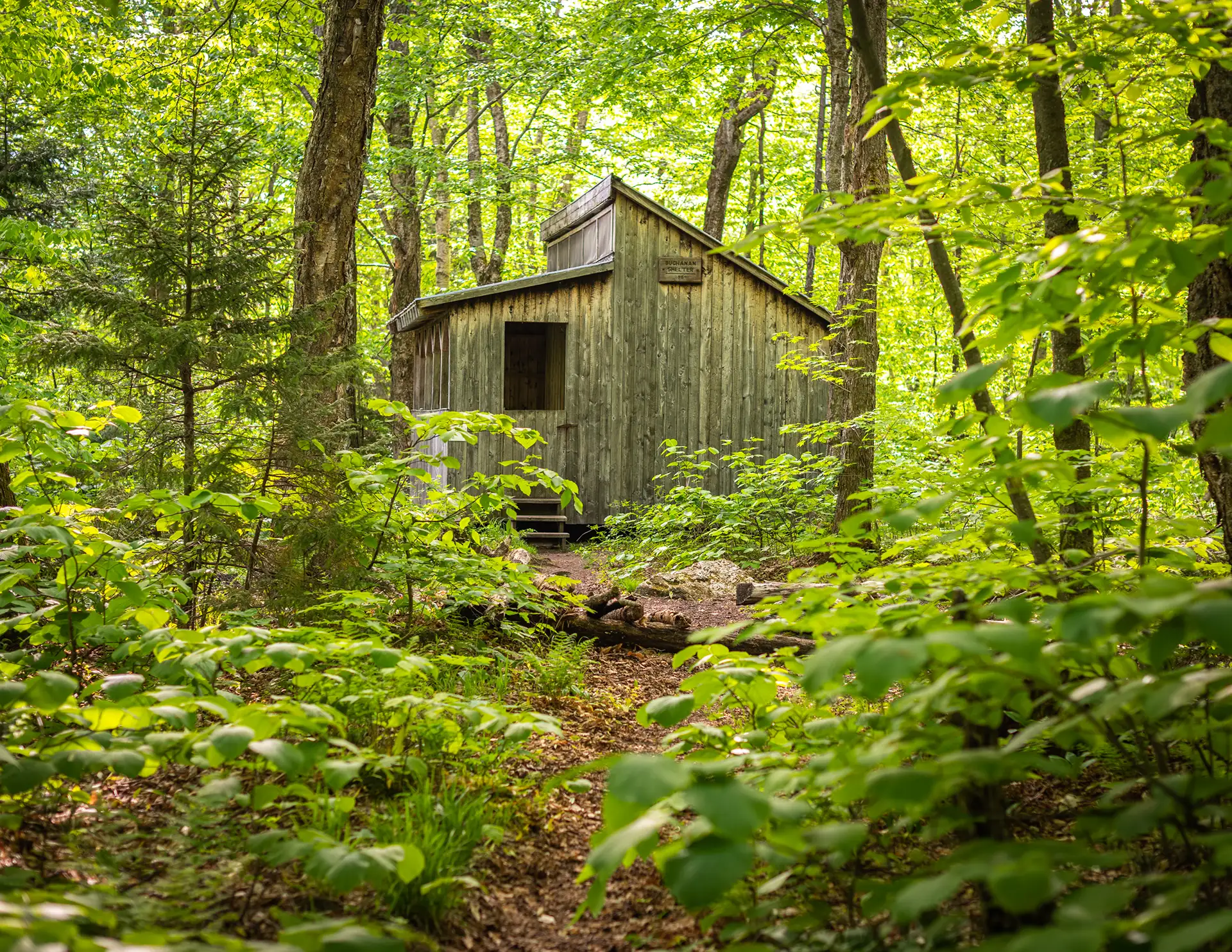
Section Hike: Camel’s Hump to Route 108
This challenging, 35-mile itinerary traverses some of the most iconic summits of the Long Trail, Camel’s Hump and Mount Mansfield, and crosses the Winooski River Valley. With 10,000 feet of elevation gain, it offers amazing 360-degree views of the Long Trail, the White Mountains in New Hampshire, Lake Champlain, and the Adirondacks in New York.…
-
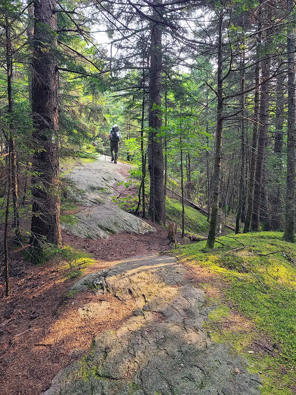
Section Hike: Jay Pass (Route 242) to Northern Terminus
Complete the Northern Terminus with a two-day, one-night hike from Jay Pass. For extra miles, this hike could also be done from Route 118, Hazen’s Notch.
-
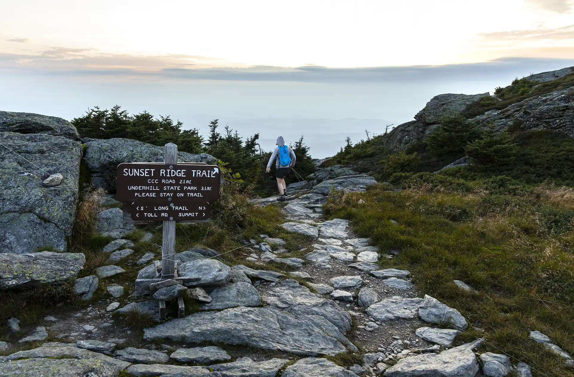
Sunset Ridge to Mansfield Summit (the Chin)
One of the busiest trails in the state, the Sunset Ridge Trail is a moderately difficult, very scenic pathway to the summit. This is the easiest route to the summit from the western side, and the recommended route down the mountain to complete a loop with Laura Cowles, Halfway House, or Maple Ridge trails. From…
-
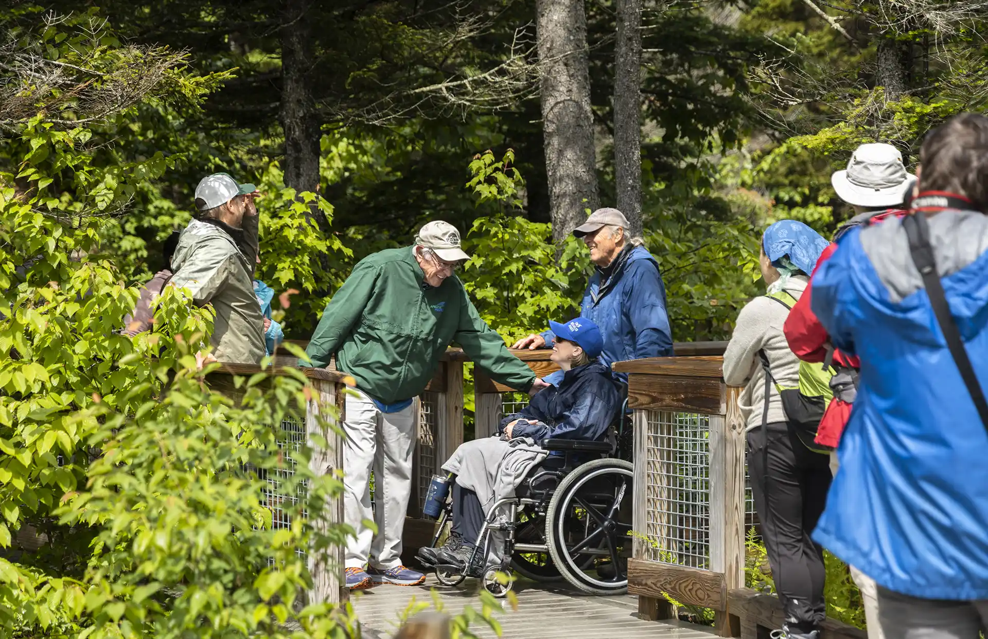
Smugglers’ Notch Boardwalk
The Smugglers’ Notch Boardwalk, part of the Long Trail, built by GMC crews in 2010, is an accessible trail through wetlands, by a beaver dam, and with beautiful views of Smugglers’ Notch. Park in the Barnes Camp parking lot or the Stowe Resort parking lot across the street. The boardwalk starts at the western end…
-
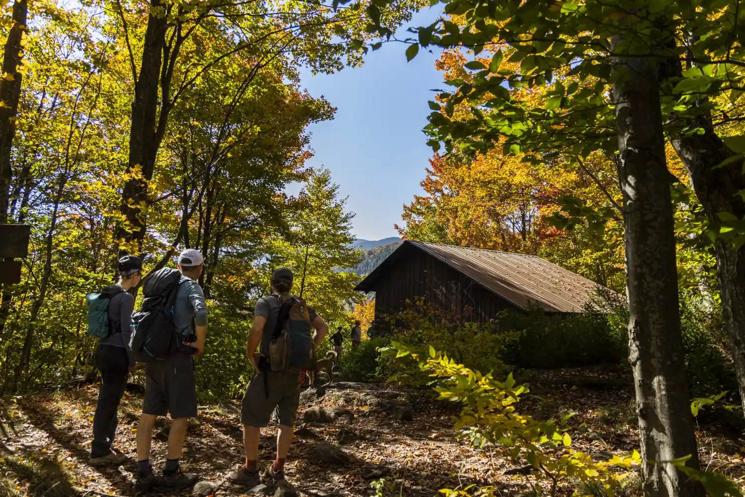
Nebraska Notch to Taylor Lodge
This is a good moderate day hike or beginner-friendly overnight trip. From Stevensville Rd. Trailhead register, take a right onto Nebraska Notch Trail and follow it for1.5 mi. Nebraska Notch Trail is a gradual climb through the woods and near streams to reach Nebraska Notch. Where Nebraska Notch and the Long Trail intersect, take a…
-
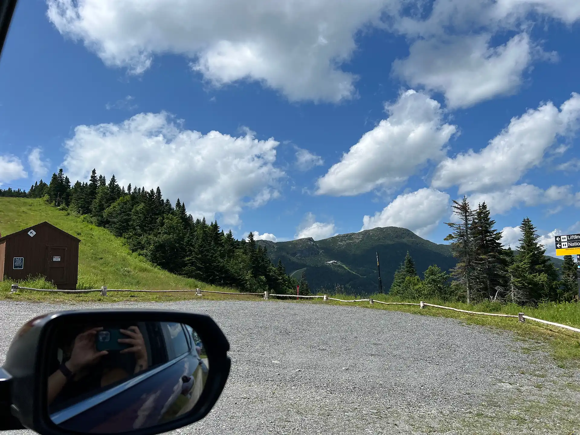
Toll Road
The Stowe Auto Toll Road ascends from the Toll House on Route 108. The 150-year-old Toll Road zigs and zags 4.5 miles on an unpaved road up to the Mount Mansfield Summit Station Visitor Center at 3,850’. A drive up the toll road is paid, and all proceeds go to Stowe Mountain Resort. For prices…
-

Maple Ridge and Sunset Ridge Loop
Starting at Underhill State Park follow Park Road Trail until its intersection with the Sunset Ridge Trail and CCC Road Trail (0.9 mi.). Take a right at the intersection to follow CCC Road for 1.1 mi. (2.0 mi.). At the intersection of Maple Ridge and Frost Trail, take a left onto Maple Ridge Trail continuing…
-
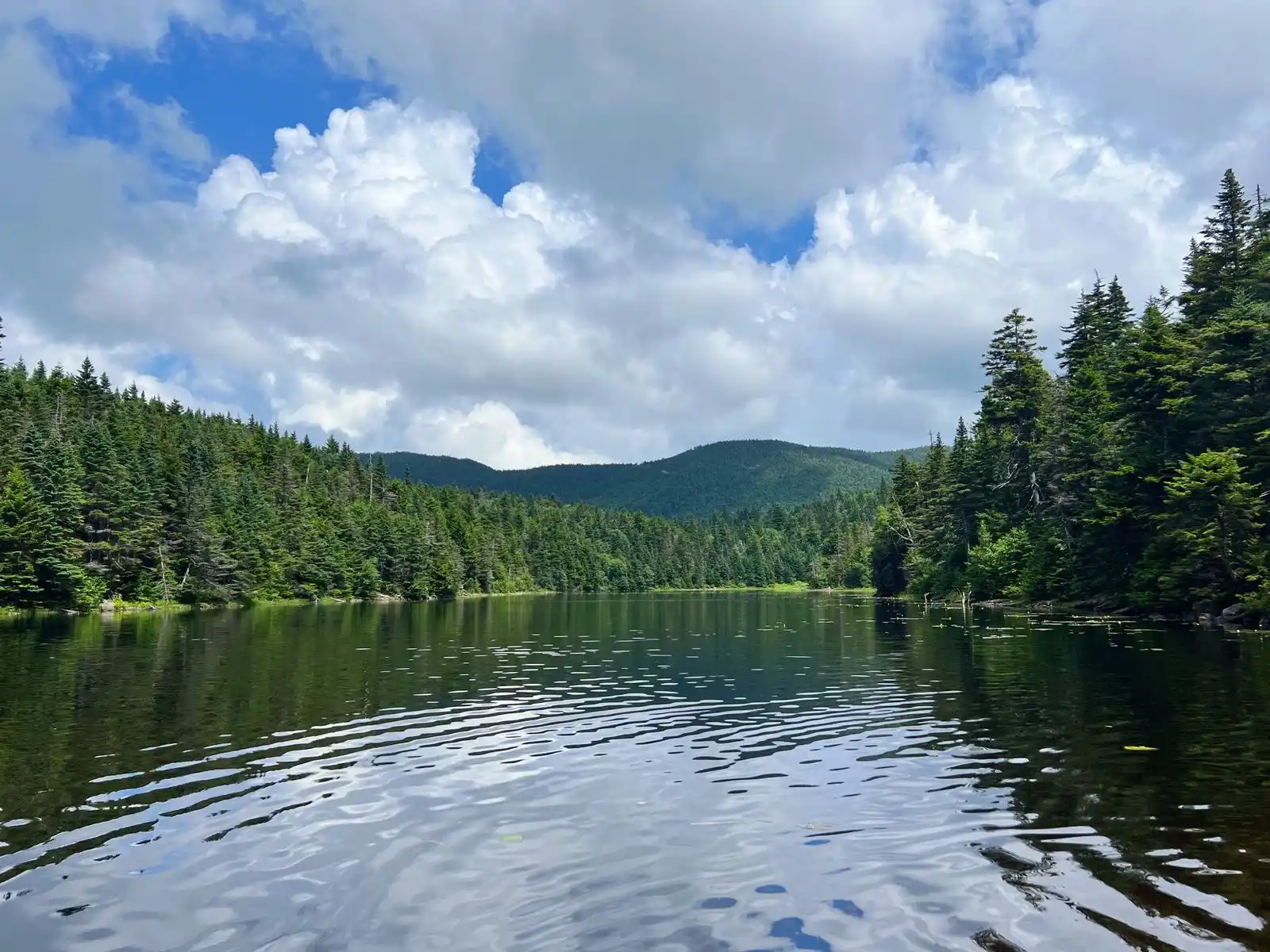
Sterling Pond
Sterling Pond Trail is short but steep two-mile round-trip hike on the eastern side of Smugglers’ Notch. The excursion can be turned into a half-day or all-day hike by adding connecting trails, including stretches of Vermont’s Long Trail. One of the Long Trail shelters, Sterling Pond Shelter, faces away from the water and its usual…
-
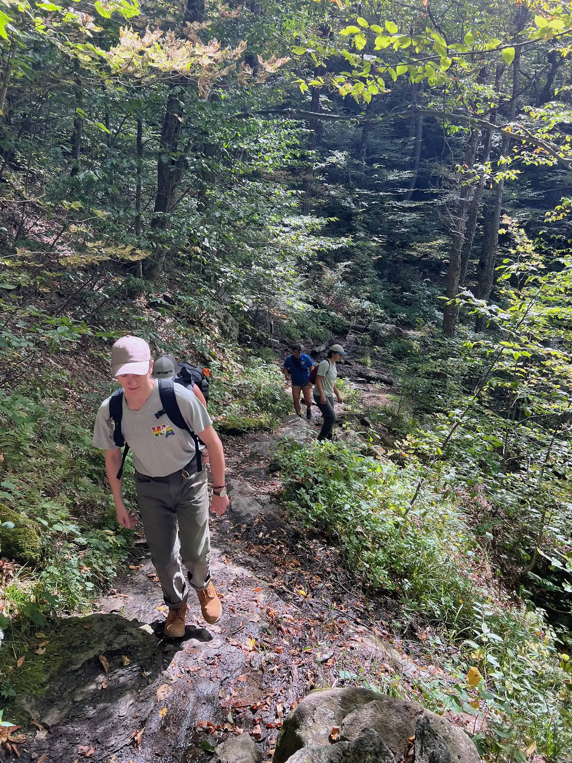
Lake Mansfield Trail to Taylor Lodge
From the Trout Club parking lot, follow the trail alongside Lake Mansfield, nestled in the shadows of Mount Mansfield, and continue on Lake Mansfield Trail for 1.6 mi. to Taylor Lodge and a junction with the Long Trail. This route climbs up toward Nebraska Notch and offers great views of the Notch. Return the way…