Distance: 10+

  • Killington Summit via Sherburne Pass Trail

    Killington Summit via Sherburne Pass Trail

    For a longer trip to the top of Vermont’s second-highest peak, take the Sherburne Pass Trail south from the parking lot at Rt 4. Pass Pico Camp (2.7 mi) and continue another 0.4 mi to an intersection with the Long Trail at Jungle Junction (3.1 mi). Follow the LT South as it gradually climbs for 2.3 miles to Cooper Lodge, the highest shelter on the Long Trail at 3,900’ (5.4 mi).

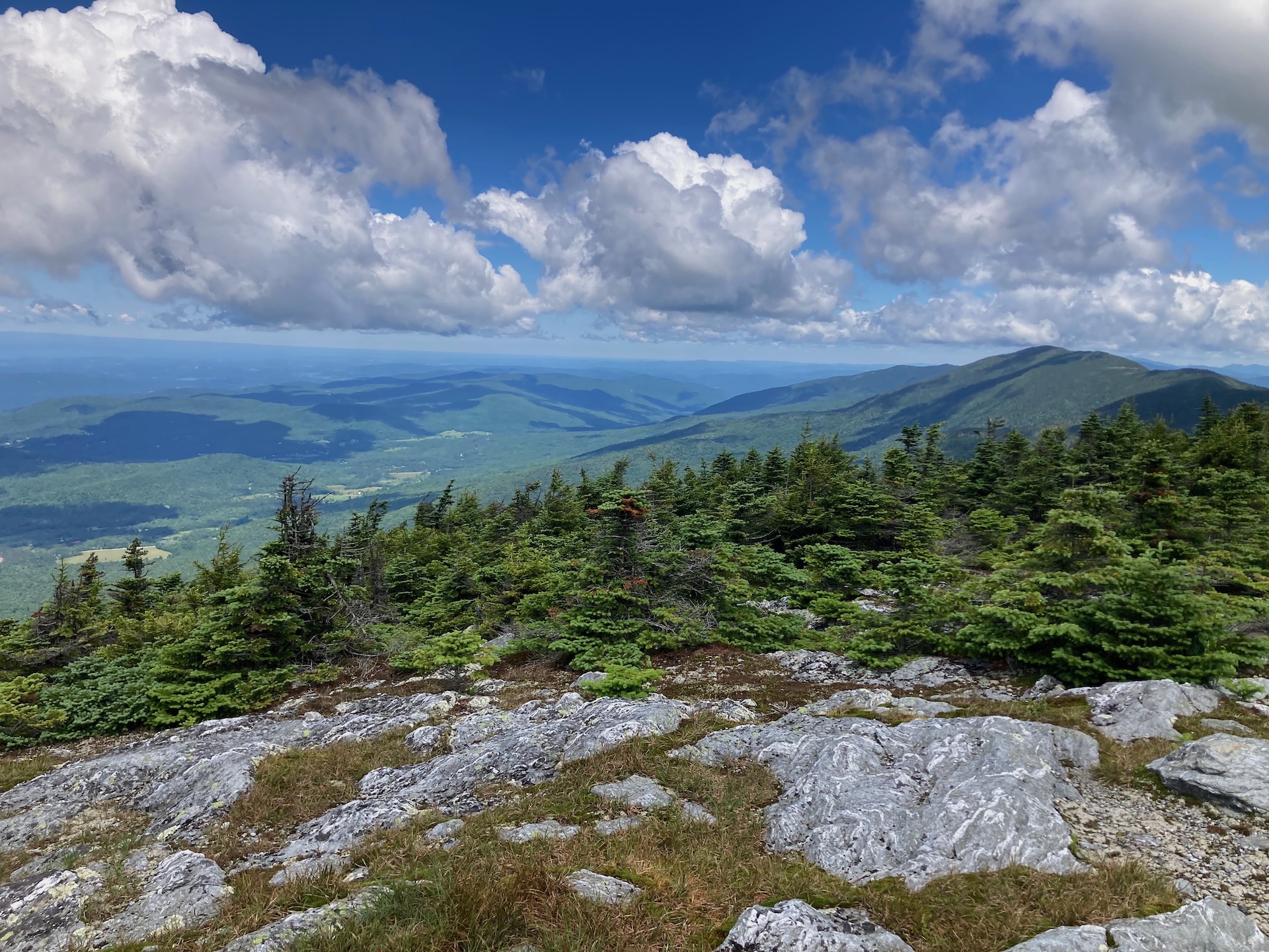
    From Cooper Lodge, continue on the LT 0.2 mi to the 0.2 mi Killington Spur to climb steeply to the summit (5.8 mi.). This final spur trail is the hardest part of the whole hike, but leads to an open summit with 360-degree views so the reward is substantial! Return the way you came for 11.6 miles 

  • Monroe Skyline

    Monroe Skyline

    This classic section of the Long Trail, the Monroe Skyline day hike, requires two cars and a drop-off at one end of the hike. It can be hiked in either direction but this description goes north to south. This hike summits two of Vermont’s five 4,000-foot peaks (Mt. Abraham and Mt. Ellen). Allow all day for this hike, or stay overnight around the halfway point at Glen Ellen Lodge. 

    From the Appalachian Gap parking lot on Route 17, cross Route 17 to begin on Long Trail South. Begin climbing up General Stark Mountain, over rock ledges, some with rebar ladders. This section of trail may be challenging for pets. Pass the Mad River Glen Sunnyside Chairlift station, and after 1.8 steep miles, reach Theron Dean Shelter, with a unique trail through a cave. Continue past the shelter for 0.6 mi. until reaching Stark’s Nest at 3,644’ (2.4 mi). From here, most of the elevation change is more gradual as you continue along the ridgeline. Reach General Stark Mountain 3,662’ (3.0 mi). Continue straight on the Long Trail, passing the summits of Mt. Ellen (5.2 mi), Castlerock (6.8 mi), Lincoln Peak (8.1 mi), and finally Mt. Abraham (8.9 mi.), with its open, alpine summit. Begin to descend, scrambling in places, and pass Battell Shelter on the left at (9.7 mi.), before reaching Lincoln Gap and your second car in the parking lot at 11.5 mi. 

    This portion of the Long Trail, from Lincoln Gap to the Winooski River, is named the Monroe Skyline in honor of Prof. Will S. Monroe, who led the effort to build this section of trail in the 1910s.

  • Section Hike: Camel’s Hump to Route 108

    Section Hike: Camel’s Hump to Route 108

    This challenging, 35-mile itinerary traverses some of the most iconic summits of the Long Trail, Camel’s Hump and Mount Mansfield, and crosses the Winooski River Valley. With 10,000 feet of elevation gain, it offers amazing 360-degree views of the Long Trail, the White Mountains in New Hampshire, Lake Champlain, and the Adirondacks in New York. Below is one option.

    • Day 1: Forest City Trail to Montclair Glen Lodge, 1.4 miles. (Can combine with Day Two for a four-day trip)
    • Alternate Day 1: Monroe Trail to Hump Brook Tenting Area, 1.3 miles. (Can combine with Day Two for a four-day trip)
    • Day 2: Montclair Glen Lodge to Bamforth Ridge Shelter, 6 miles; summit Camel’s Hump
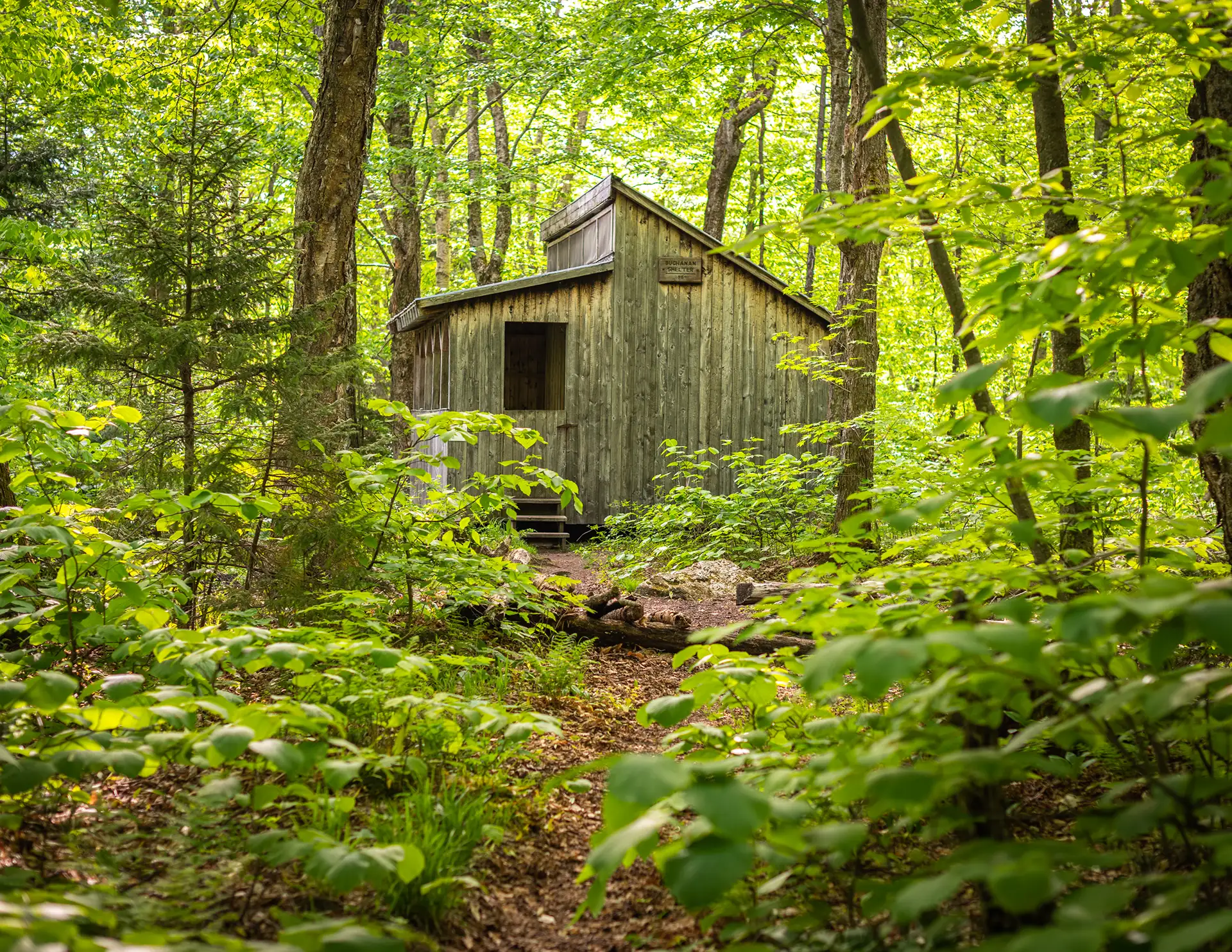
    • Day 3: Bamforth Ridge Shelter to Buchanan Shelter, 12 miles; cross Winooski River
    • Day 4: Buchanan Shelter to Butler Lodge, 11 miles
    • Day 5: Butler Lodge to Route 108, 6 miles; summit Mansfield
  • Section Hike: Southern Terminus to Route 9

    Section Hike: Southern Terminus to Route 9

    This two or three-day, one-to-two-night itinerary is a great way to get some southern Long Trail miles. Choose either the Pine Cobble Approach Trail or the Appalachian Trail to reach the Southern Terminus. You’ll have around 4,000 feet of elevation gain over 17-18 miles, along with a steep descent down to Route 9. It can also be hiked southbound, or condensed into two days.

    • Day 1: Pine Cobble Approach Trail or Appalachian Trail from North Adams to Seth Warner Shelter, 8 miles
    • Day 2: Seth Warner to Congdon Shelter, 4.8 miles
    • Day 3: Congdon Shelter to Route 9: 4.2 miles
  • Section Hike: Jay Pass (Route 242) to Northern Terminus

    Section Hike: Jay Pass (Route 242) to Northern Terminus

    Complete the Northern Terminus with a two-day, one-night hike from Jay Pass. For extra miles, this hike could also be done from Route 118, Hazen’s Notch.

    • Day 1: Jay Pass to Shooting Star Shelter, 7.6 miles
    • Day 2: Shooting Star to Northern Terminus, 4.4 miles; plus 1.3 mile hike out on Journey’s End Trail
  • Section Hike: Brandon Gap to Route 4

    Section Hike: Brandon Gap to Route 4

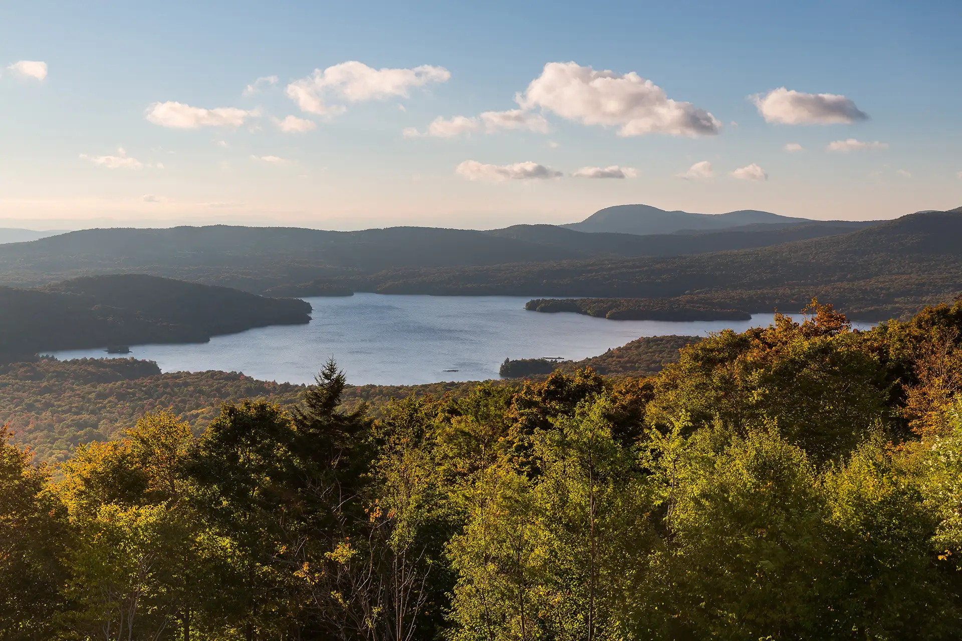
    This four-day, three-night, intermediate itinerary can be followed either north or south in Central Vermont, and could be modified to a 2-night trip for a more experienced backpacker. This is a great route for those who are looking to test their backcountry set up for multiple nights without too much mileage or elevation gain. It’s 20 miles total, with about 3,000 feet of total elevation gain, offering a remote feeling and views of Chittenden Reservoir.

    • Day One: Brandon Gap to Sunrise Shelter, 2.6 miles
    • Day Two: Sunrise Shelter to David Logan Shelter, 5.7 miles
    • Day Three: David Logan Shelter to Rolston Rest Shelter, 7 miles
    • Day Four: Rolston Rest Shelter to Route 4, 4.9 miles