
Region: Camel’s Hump
-
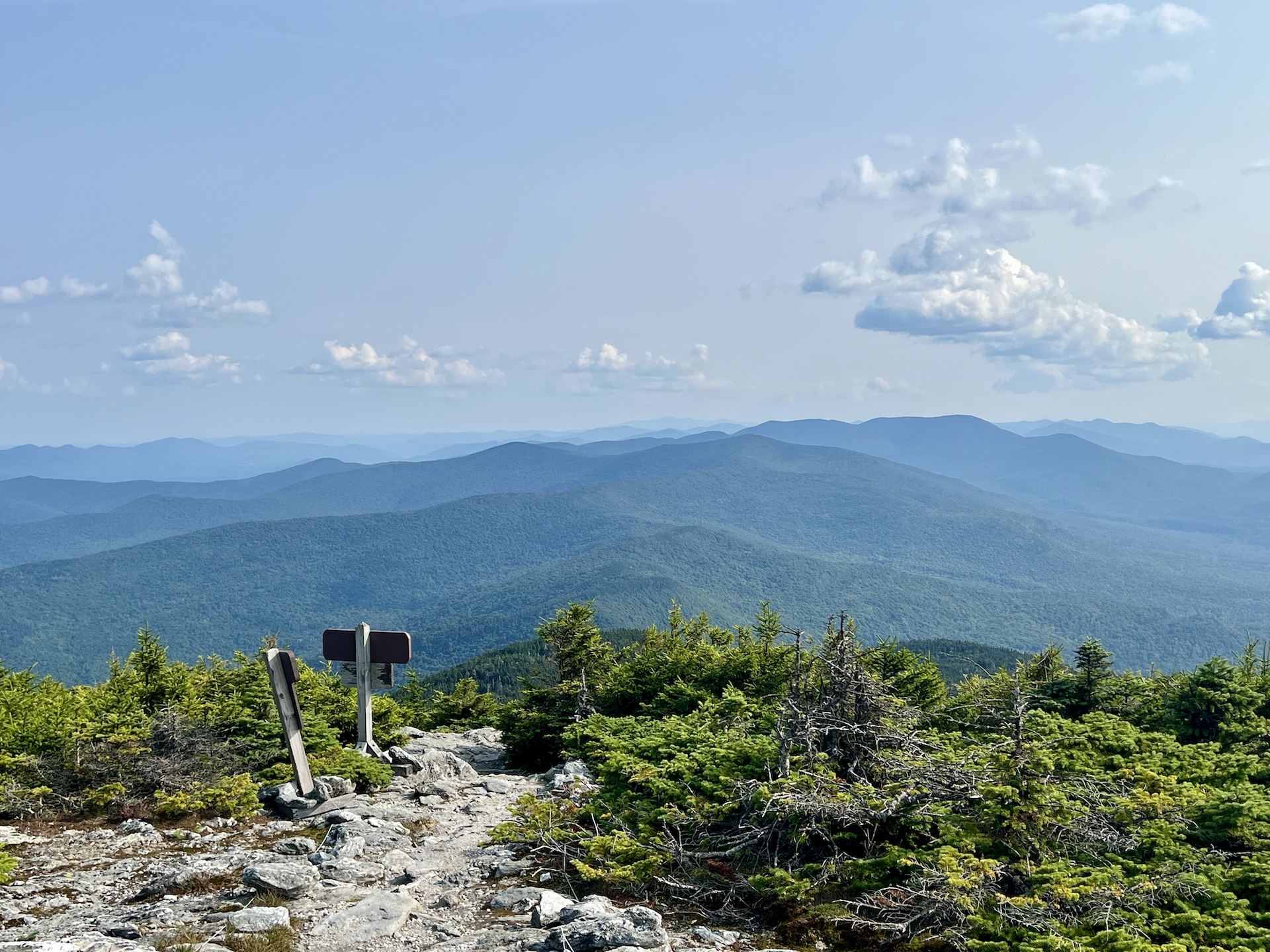
Mt. Abraham via the Long Trail
From the Lincoln Gap trailhead, hike north on the Long Trail for 1.7 miles to Battell Shelter. Continue 0.9 miles on Long Trail North (2.6 mi). This section north of the shelter includes a few rocky scrambles before emerging above tree line and reaching the Mount Abraham summit at 4,006’. Mt. Abe is one of the five 4,000-foot peaks in Vermont, and from the summit there are views of the Champlain Valley…
-
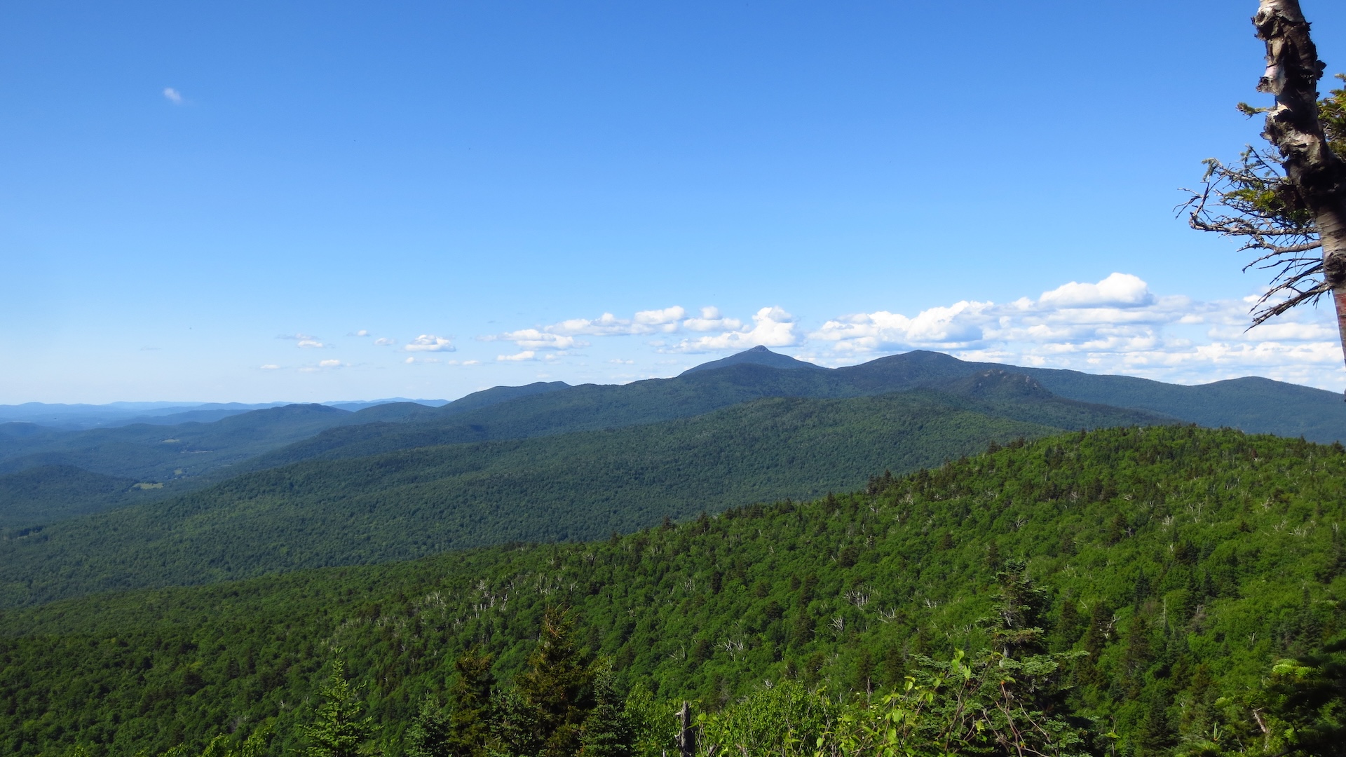
Molly Stark’s Balcony
While short, the route to Molly Stark’s Balcony is a rugged walk on rolling terrain. From the Appalachian Gap parking lot, head north on the Long Trail for 0.4 mi past Mad River Lookout and reaching Baby Stark Mountain. Continue on the Long Trail North for 0.9 mi. over Molly Stark Mountain before a final short descent to the Balcony on the north slope of Molly Stark Mtn (1.3 mi). The Balcony features a…
-
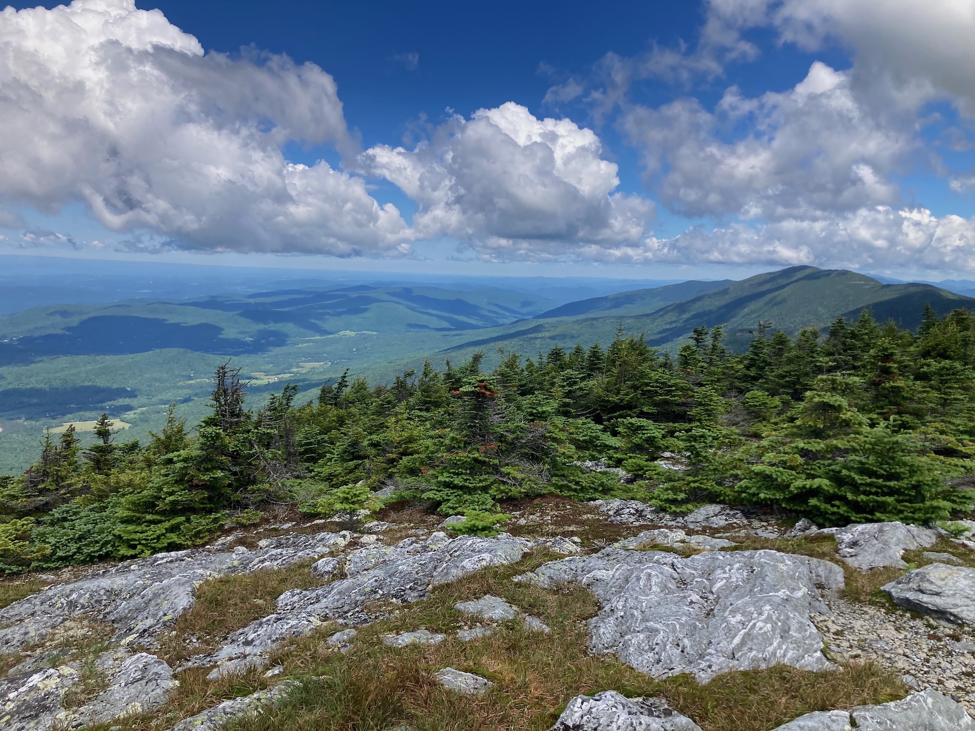
Monroe Skyline
This classic section of the Long Trail, the Monroe Skyline day hike, requires two cars and a drop-off at one end of the hike. It can be hiked in either direction but this description goes north to south. This hike summits two of Vermont’s five 4,000-foot peaks (Mt. Abraham and Mt. Ellen). Allow all day for this hike, or stay…
-
Section Hike: Camel’s Hump to Route 108
This challenging, 35-mile itinerary traverses some of the most iconic summits of the Long Trail, Camel’s Hump and Mount Mansfield, and crosses the Winooski River Valley. With 10,000 feet of elevation gain, it offers amazing 360-degree views of the Long Trail, the White Mountains in New Hampshire, Lake Champlain, and the Adirondacks in New York.…
-
Jerusalem Trail to Orvis Lookout
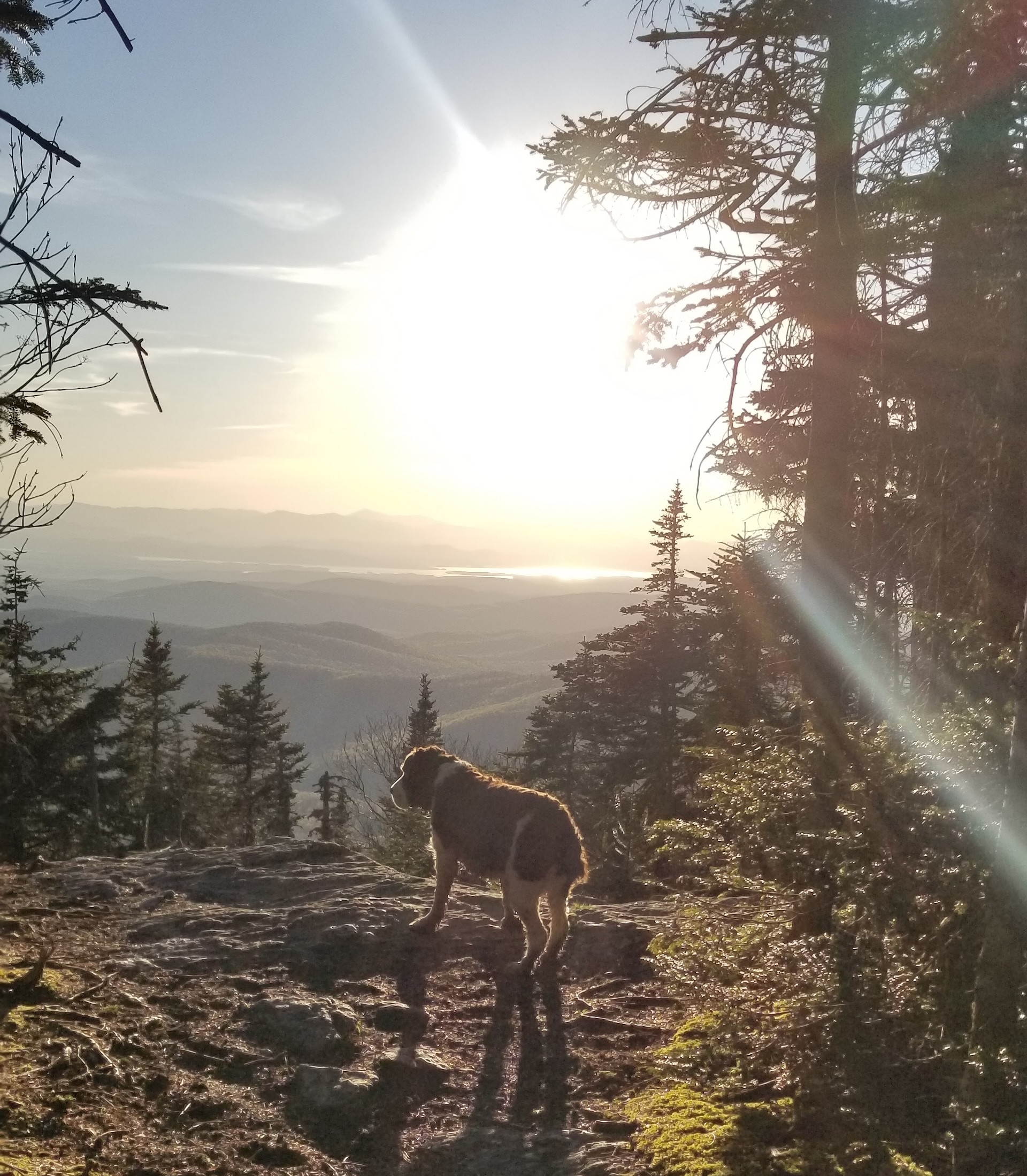
From the Jerusalem trailhead, ascend the Jerusalem Trail 2.4 miles to the intersection with the Long Trail. Note that this trail passes through an active sugarbush for the first portion, crossing ATV trails and past maple tubes/lines. Be sure to stay on the blue-blazed trail. At intersection with the Long Trail take a left on the white-blazed LT North. Follow it a short distance to Orvis Lookout, which features westerly views…
-
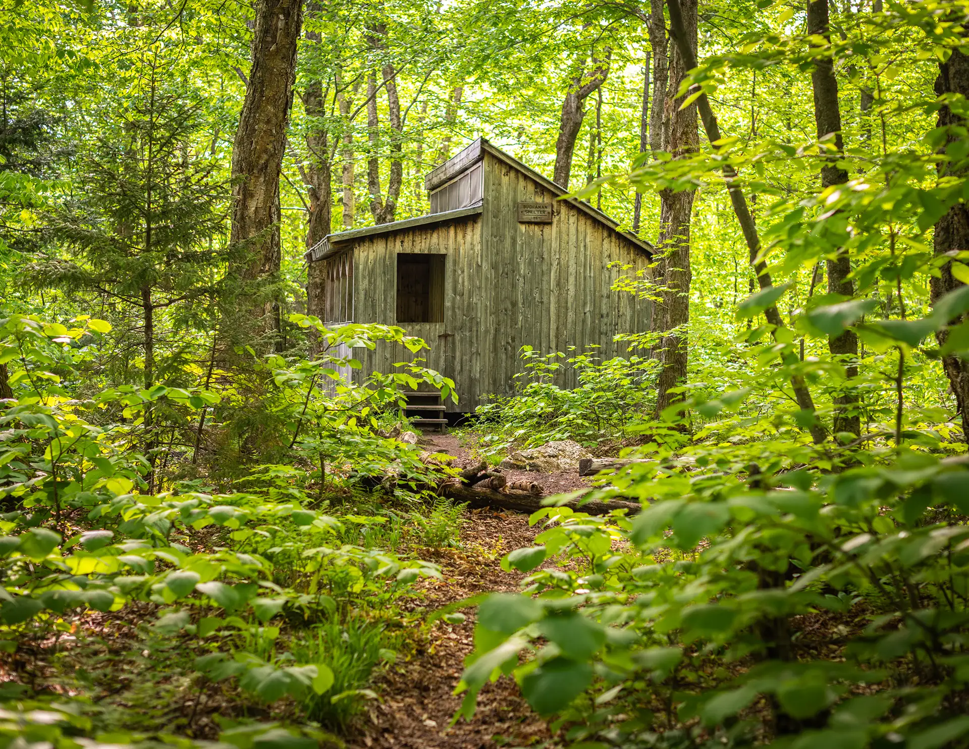
Battell Trail to Battell Shelter
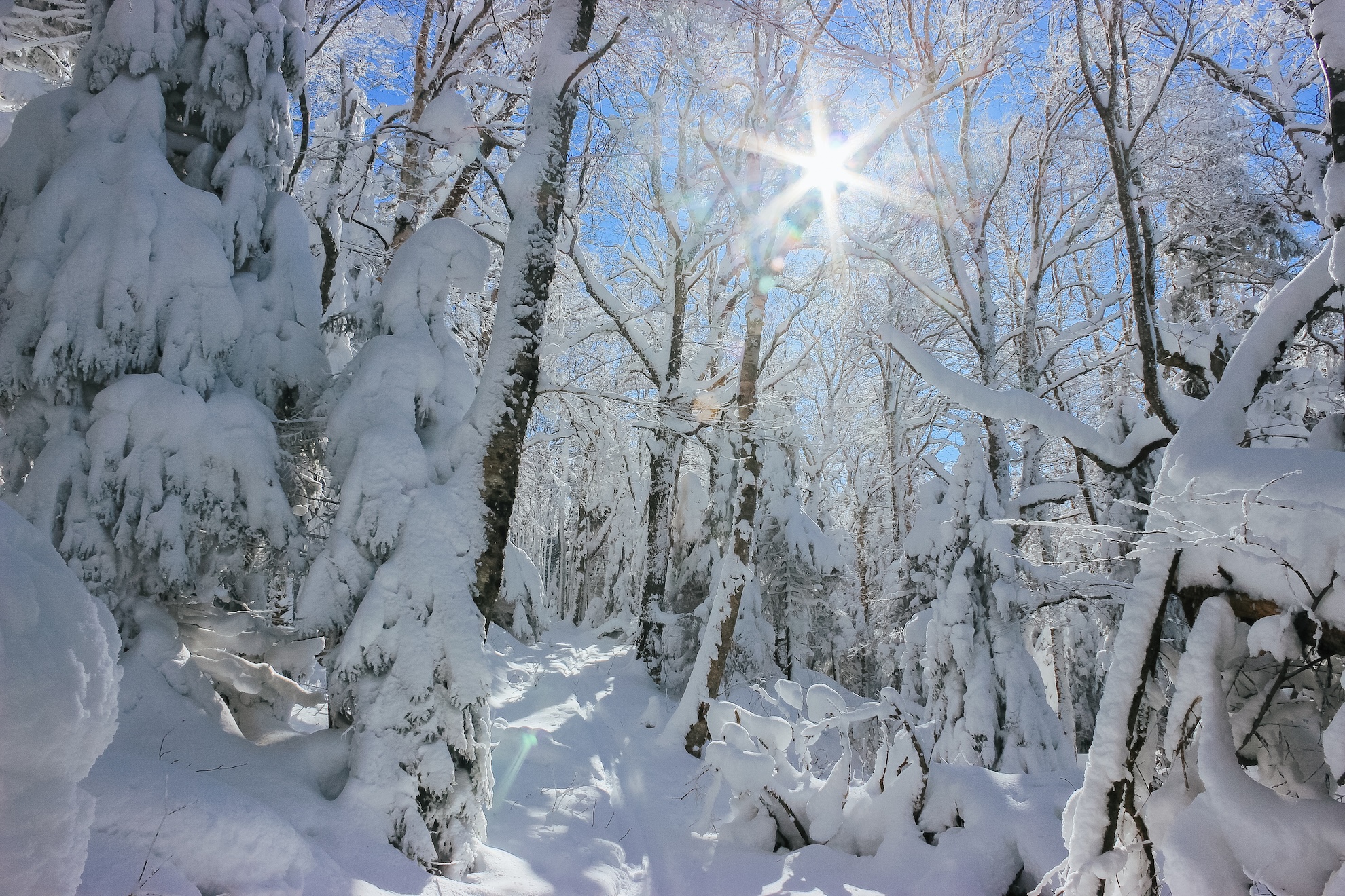
From Elder Hill Rd. parking lot, climb steadily through a sugarbush for almost a mile. After crossing two small streams and an old woods road (1.0 mi.), and then another woods road (1.2 mi.), arrive at the LT (2.0 mi.) just south of Battell Shelter. Take a right onto Long Trail North for 0.1 mi until reaching Battell Shelter (2.1 mi). To return, take Battell Trail back down…