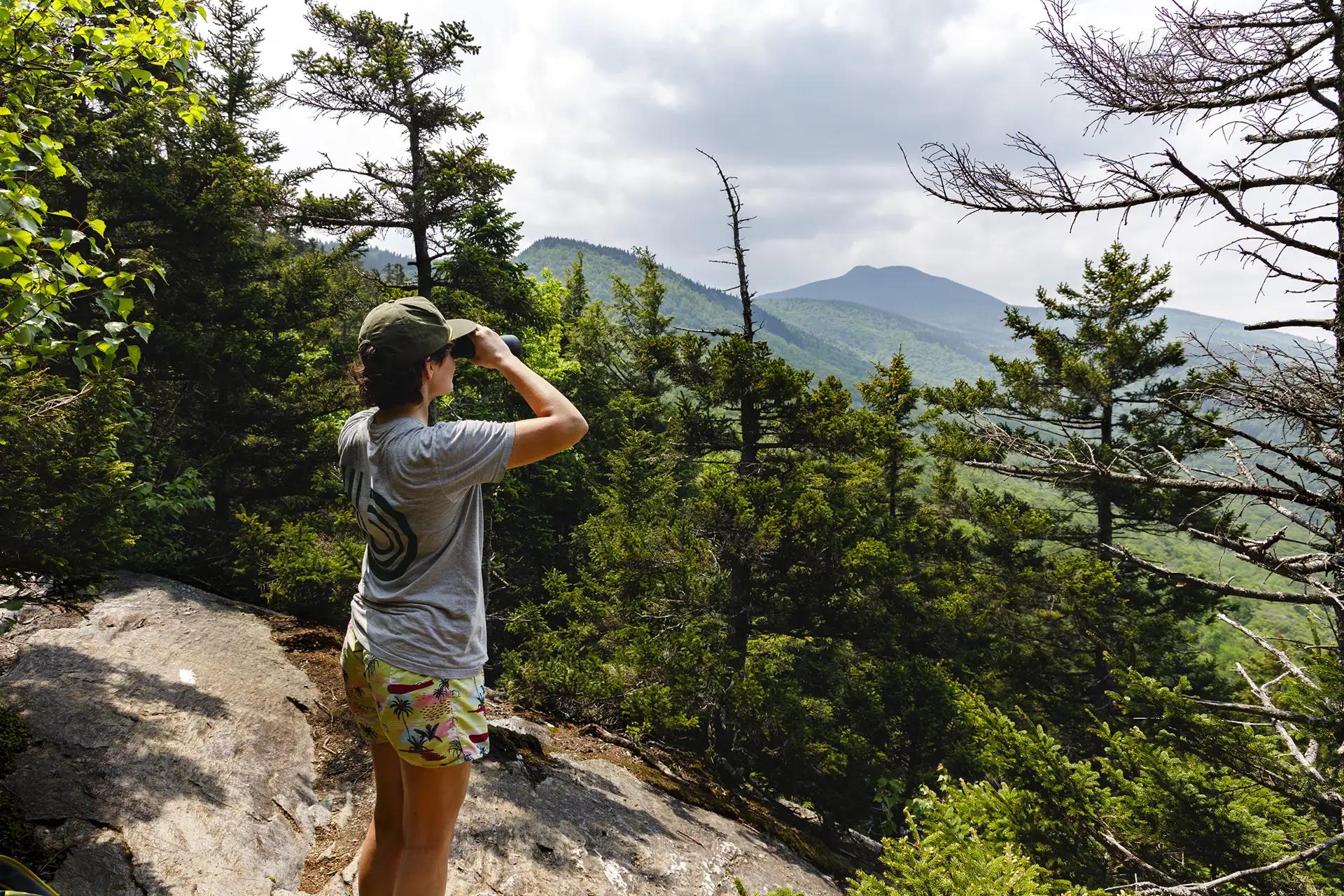
Region: Camel’s Hump

  • Bamforth Ridge Shelter

    Bamforth Ridge Shelter

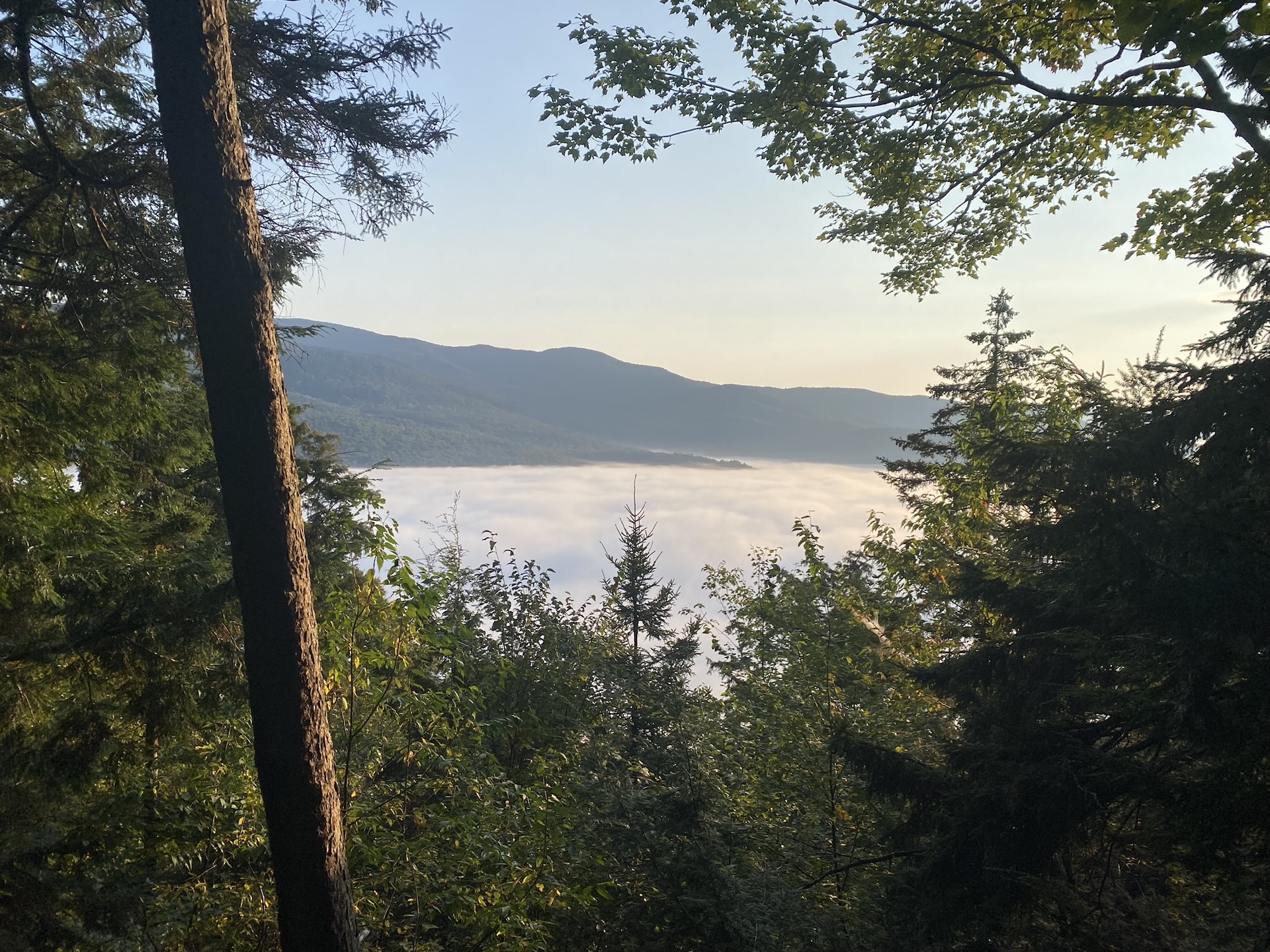
    From the parking area, hike north on the Long Trail. Cross a bridge over Gleason Brook (0.6 mi), then on to Duxbury Window, a beautiful lookout over the Winooski Valley with a bench (1.6 mi). Note that most of the hike is a gradual incline, but the trail is fairly steep for a short stretch just before the Window. Continue past the lookout for 1.1 mi. until reaching Bamforth Ridge Shelter spur trail (2.7 mi). From here it is 0.2 mi. to Bamforth Ridge Shelter (2.9 mi), a cedar log lean-to that is the only shelter along the northern side of Camel’s Hump. To return, continue back south for 2.9 mi. on the LT until reaching River Rd. parking lot (5.8 mi).  

    You can extend this hike to the summit of Camel’s Hump, though it becomes steep and rugged. It is another 3.5 miles past Bamforth Ridge Shelter to reach the summit, with 2,183 ft. of elevation gain.  
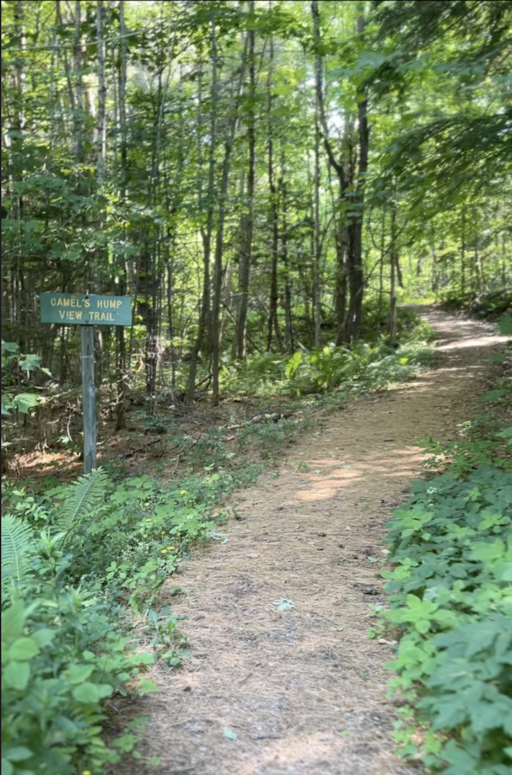
  • Camel’s Hump View Trail

    Camel’s Hump View Trail

    This lollipop-style loop trail features multiple gorgeous views of Camel’s Hump, which are especially good as the leaves begin to fall in autumn. The trail also features several benches, which offer nice rest spots.  

    From the sign at the parking lot, head out on the main path. Soon you will come to a split where you can go clockwise or counterclockwise on the trail. Whichever direction you choose, be sure to stay on the wide, blue-blazed Camel’s Hump View Trail, as there is a cross-country ski trail which crosses it at one point.   

    NOTE: This is a universally accessible trail. It includes elevation changes at more substantial grades than many paved rec paths and boardwalks. The trail surface is dirt and gravel and may not be passable by wheelchairs designed for smooth surfaces, especially once fallen leaves are on the path. 

  • Forest City, Long Trail, and Burrows Trail Loop

    Forest City, Long Trail, and Burrows Trail Loop

    This challenging loop to the Camel’s Hump summit is a fun alternative to the popular out-and-back Burrows route. 

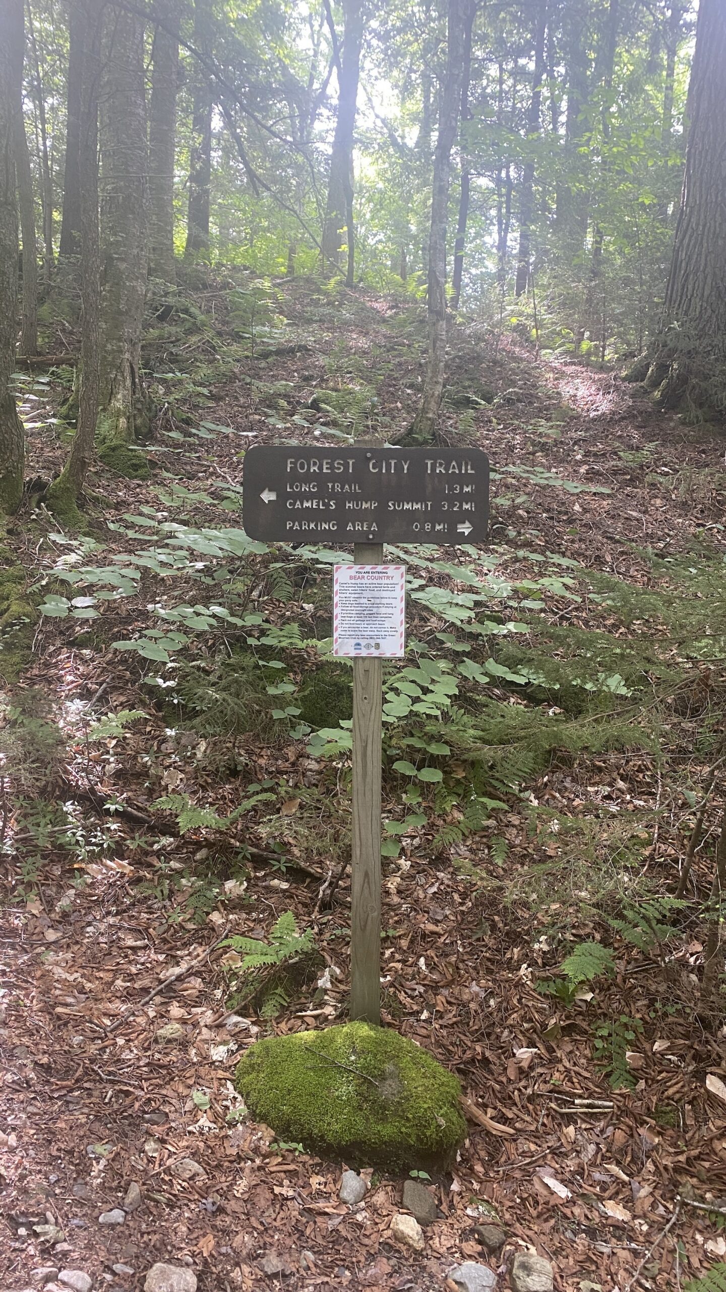
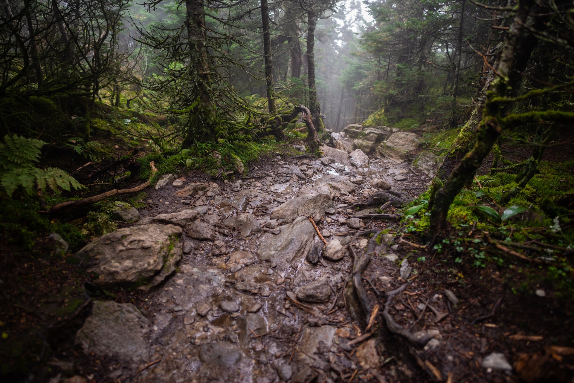
    Starting at the Lower/Forest City lot, take Forest City Trail follow an old logging road and cross over Brush Brook, passing an intersection with the Forest City Connector (0.8 mi). Continue on Forest City Trail, climbing gradually for 1.4 mi. to the intersection with Montclair Glen Lodge and the Long Trail (2.2 mi)Turn left/north on the white-blazed Long Trail North and continue straight for 0.2 mi. through a four-way intersection in Wind Gap (2.4 mi). From Wind Gap, Long Trail North climbs 1.5 rugged miles to an intersection with the Alpine Trail (3.9 mi). This section of trail includes rock scrambles which may be challenging for some dogs.

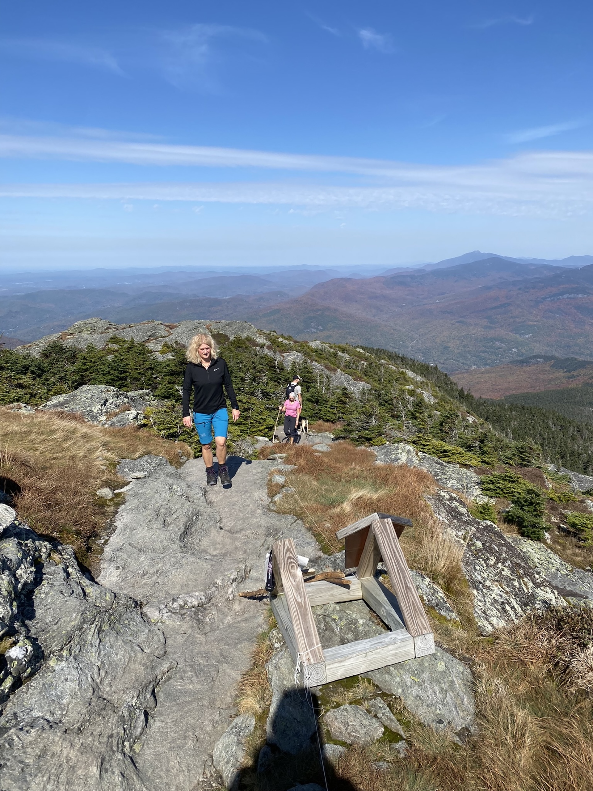
    Soon after passing the Alpine Trail junction, the summit is a steep 0.2 mi on open rock (4.1 mi). Note that this side of the summit is extremely steep open rock and may not be appropriate for people with an intense fear of heights. Ascent will be significantly more difficult in the rain or fog. 

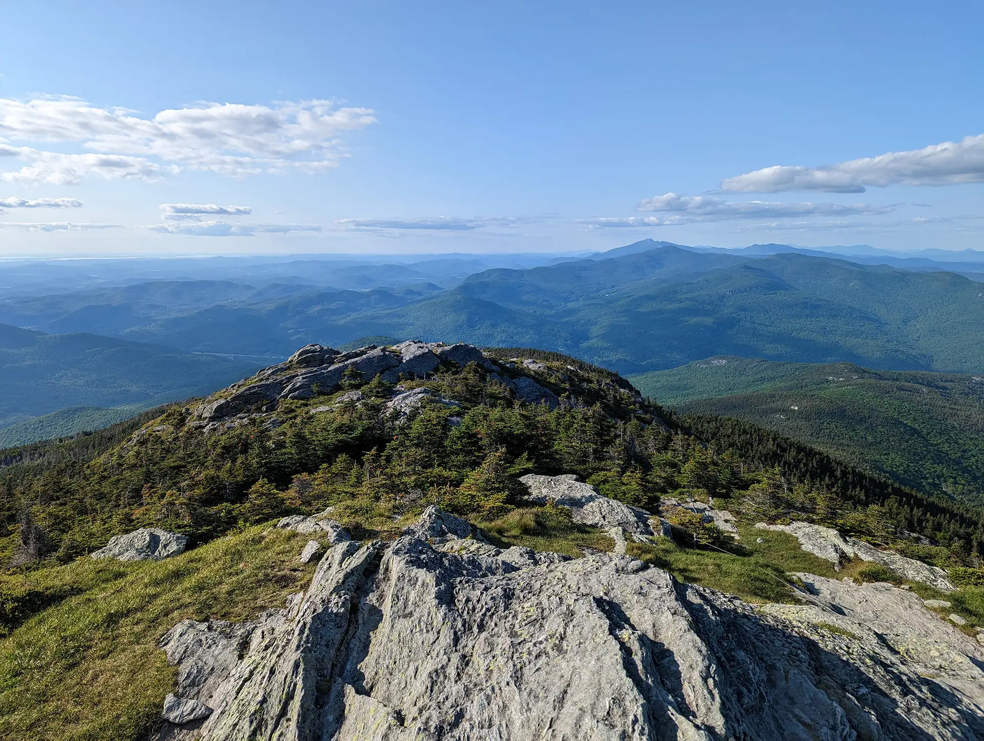
    The summit of Camel’s Hump is one of the five tallest in Vermont at 4,083’ and offers 360-degree views to the Adirondacks, Whites, and Green Mountains. From the summit, continue on Long Trail North over the summit for 0.3 mi until reaching the Hut Clearing (4.4 mi). Take a left onto Burrows Trail at this intersection, and continue on Burrows Trail for 2.1 mi until reaching the Upper Forest City/Burrows lot (6.5 mi). You can either take the Forest City Connector (0.1 mi) back to the Forest City Trail (0.8 mi) or hike down the road back to your car for a total of 7.6 miles. 

    Note: Camel’s Hump is home to the alpine zone, one of the three peaks in Vermont that has arctic tundra. The plants are fragile and easily damaged. Help protect the alpine zone by doing the rock walk above treeline, staying on the bare rock. In the summer, a caretaker facilitates summit education, educating hikers about fragile ecosystems at high-use sites along the Long Trail.   

  • Burrows Trail

    Burrows Trail

    See the results of a three-year restoration of the extremely popular Burrows Trail, completed by GMC and FPR in 2024. This trail is steep and difficult, but the work put in by crews over the last three years has made the footing a lot more manageable. There are a few new re-routes on the lower part of the trail that were built with sustainable grades, and hundreds of new stone steps to help hikers and slow the flow of water on the trail. 

    From Upper Forest City/Burrows parking area, enter the woods at the edge of the lot, cross a bridge, and begin ascending moderately and steadily on Burrows Trail. After 2.1 miles, reach the “Hut Clearing,” where the Long TrailMonroe Trail, and Burrows Trail all meet. Turn right, following signs for Long Trail South, to ascend another 0.3 miles to the summit (2.4 mi). This portion of the trail is above treeline and requires some careful footing and light rock scrambling. Take in the 360-degree view from the summit, then return the way you came, traversing back down to Hut Clearing to take the Burrows Trail back 2.1 miles (4.8 mi). 

    Note: Camel’s Hump is home to the alpine zone, one of the three peaks in Vermont that has arctic tundra. The plants are fragile and easily damaged. Help protect the alpine zone by doing the rock walk above treeline, staying on the bare rock. In the summer, a caretaker facilitates summit education, educating hikers about fragile ecosystems at high-use sites along the Long Trail. 

  • Duxbury Window Trail

    Duxbury Window Trail

    A great option on a clear day! From the parking area on Duxbury Road, hike south on the Long Trail. Cross a bridge over Gleason Brook (0.6 mi), then on to a beautiful lookout over the Winooski Valley with a bench (1.6 mi). Note: Most of the hike is a gradual incline, but the trail is fairly steep for a short stretch just before the Window. To return follow Long Trail back south to parking lot (3.2 mi.).  

  • Camel’s Hump Summit via Monroe and Alpine Trails

    Camel’s Hump Summit via Monroe and Alpine Trails

    From the Monroe Parking lot, follow the blue-blazed Monroe Trail for 1.3 mi. At the intersection with Dean Trail, stay right on Monroe for 1.2 mi (2.5 mi). At intersection with the Alpine Trail continue right on Alpine Trail for 1.2 mi (3.7 mi). Turn left onto Long Trail South for 0.8 mi towards the summit (4.5 mi). From the Hut Clearing continue on Long Trail South for 0.3 mi (4.8 mi). to the summit.  The summit of Camel’s Hump is one of the five tallest in Vermont at 4,083’ and offers 360-degree views to the Adirondacks, Whites, and Green Mountains. Continue over the summit on Long Trail South for 0.3 mi. until reaching the yellow-blazed Alpine Trail (5.1 mi). Note that this side of the summit is extremely steep open rock and may not be appropriate for people with an intense fear of heights. Descent will be significantly more difficult in the rain or fog. 

    Turn left on the Alpine Trail and pass the site of a plane crash. A very short detour leads to the wing of a B-24J Liberator military airplane that crashed in 1944, killing all but one of the men aboard. Please be respectful of the site if visiting. Follow Alpine Trail to the intersection with Monroe (5.6 mi). Take Monroe Trail for 2.5 back to parking lot (8.1 mi).  

    Note: Camel’s Hump is home to the alpine zone, one of the three peaks in Vermont that has arctic tundra. The plants are fragile and easily damaged. Help protect the alpine zone by doing the rock walk above treeline, staying on the bare rock. In the summer, a caretaker facilitates summit education, educating hikers about fragile ecosystems at high-use sites along the Long Trail.   

  • Camel’s Hump Summit via Monroe and Dean Trails

    Camel’s Hump Summit via Monroe and Dean Trails

    From the Monroe Parking lot, follow the blue-blazed Monroe Trail for 1.3 mi. At the first intersection take a left onto Dean Trail, continuing for 1.0 mi. to Wind Gap (2.3 mi). From Wind Gap take a right onto Long Trail North. Follow for 1.5 mi. to the summit of Camel’s Hump (3.8 m.). The summit of Camel’s Hump is one of the five tallest in Vermont at 4,083’ and offers 360-degree views to the Adirondacks, Whites, and Green Mountains. Continue over the summit on Long Trail North for 0.3 mi. until reaching the Hut Clearing and intersection with Monroe Trail (4.1 mi). Continue right on to Monroe Trail for 3.1 mi back to trailhead (7.2 mi).  
     

    Note: The Camel’s Hump summit is home rare arctic alpine vegetation, one of only three remaining alpine zones in Vermont. The plants are fragile and easily damaged. Help protect the alpine zone by doing the “rock walk” above treeline, staying on the bare rock between the white string. In the summer, a caretaker facilitates summit education, educating hikers about fragile ecosystems at high-use sites along the Long Trail.   

  • Winooski Footbridge

    Winooski Footbridge

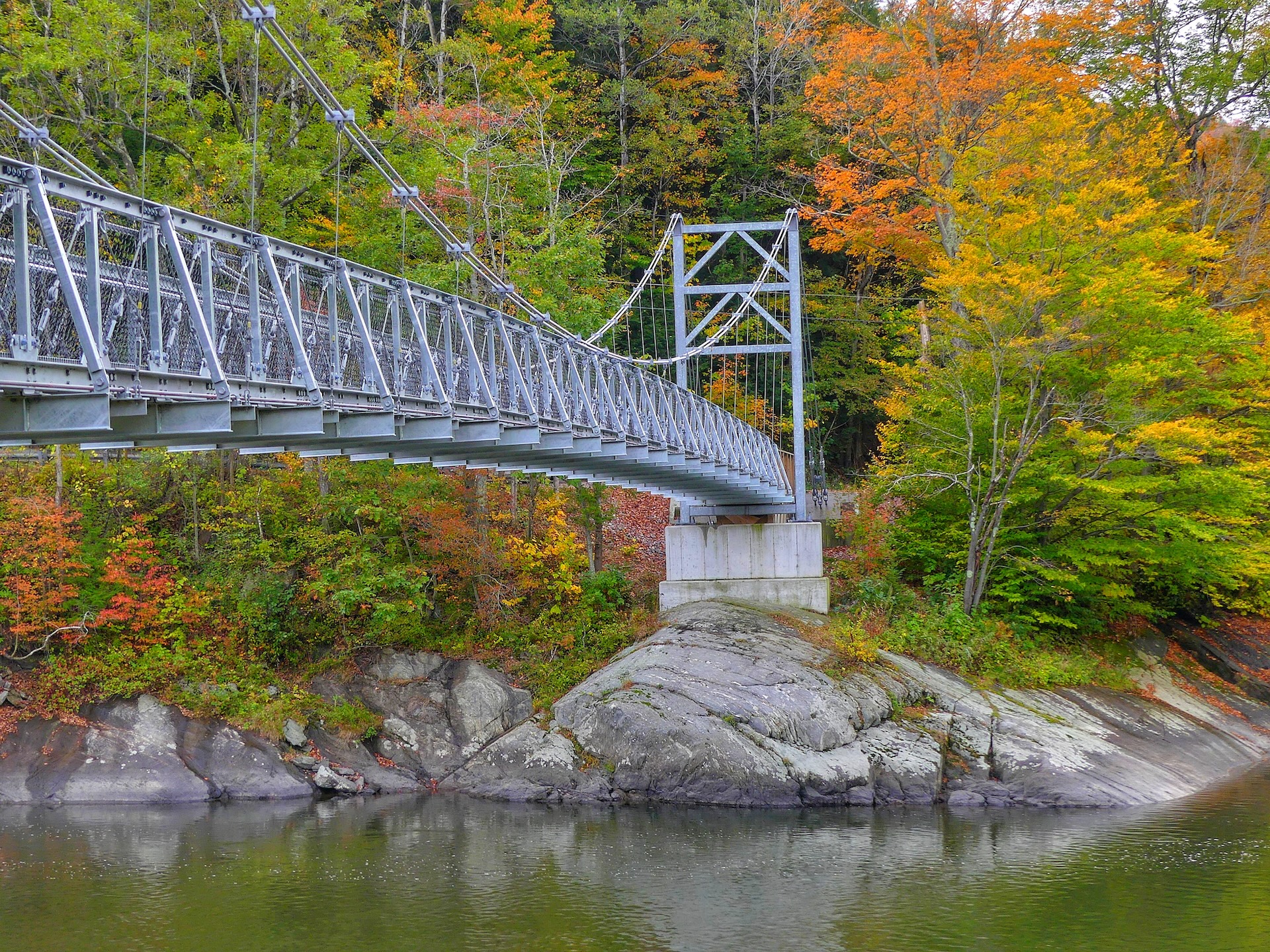
    This 224-foot Long Trail suspension bridge, built and maintained by the Green Mountain Club, is accessible from Duxbury Road on the south side of the Winooski River. The bridge is wheelchair accessible from the south side, on Duxbury Road, but there is no parking permitted here. Park about 1.0 mi east on Honey Hollow Road and carefully follow the road back to the bridge (1.0 mi). The bridge is wheelchair accessible and you can enjoy looking at the mountains from the footbridge and enjoying the river running below you. (Wheelchair users may wish to be dropped off at the entrance to the bridge).  

  • Sunset Ledge from Lincoln Gap

    Sunset Ledge from Lincoln Gap

    This short, popular hike leads to open ledges with views west to Lake Champlain and the Adirondacks. From the parking lot, follow the white-blazed Long Trail South for 1.1 miles until reaching the lookout, Sunset Ledge. To return, follow the Long Trail back north to the parking area (2.2 mi). While this trail is short, be prepared for some rugged terrain as you ascend the mile to the lookout.  

    Please note, if you are inspired by the name to hike this route for sunset, be sure each person has a flashlight and/or headlamp with new batteries or full charge. 

  • Stark Mountain Trail

    Stark Mountain Trail

    Start at the Mad River Glen Single Chair loading station. The Stark Mountain Trail follows a wide service road for 1.5 mi. winding up the ski area. At  the intersection with Sunnyside Trail take a right to continue for 0.9 mi. (2.4 mi.). At the intersection with the Long Trail take a right onto Long Trail North for 0.1 mi until reaching the Stark’s Nest overlook at 3,644’ (2.5 mi). To return to Mad River Glen continue back on Long Trail going south for 0.1 mi. until reaching intersection with Sunnyside Trail (2.6 mi). Continue on Sunnyside Trail for 0.9 mi (3.5 mi.) until returning to Stark Mountain Trail for another 1.5 mi. back to the parking lot (5.0 mi).  

    This hike is a good option for Mud Season, after resort operations have ceased. Please be respectful of recreating on this active ski area. More information from Mad River Glen is available here