Difficulty: Moderate

  • Deer Leap Trail

    Deer Leap Trail

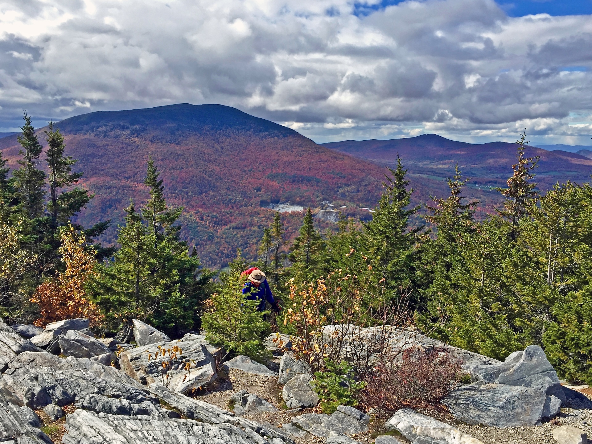
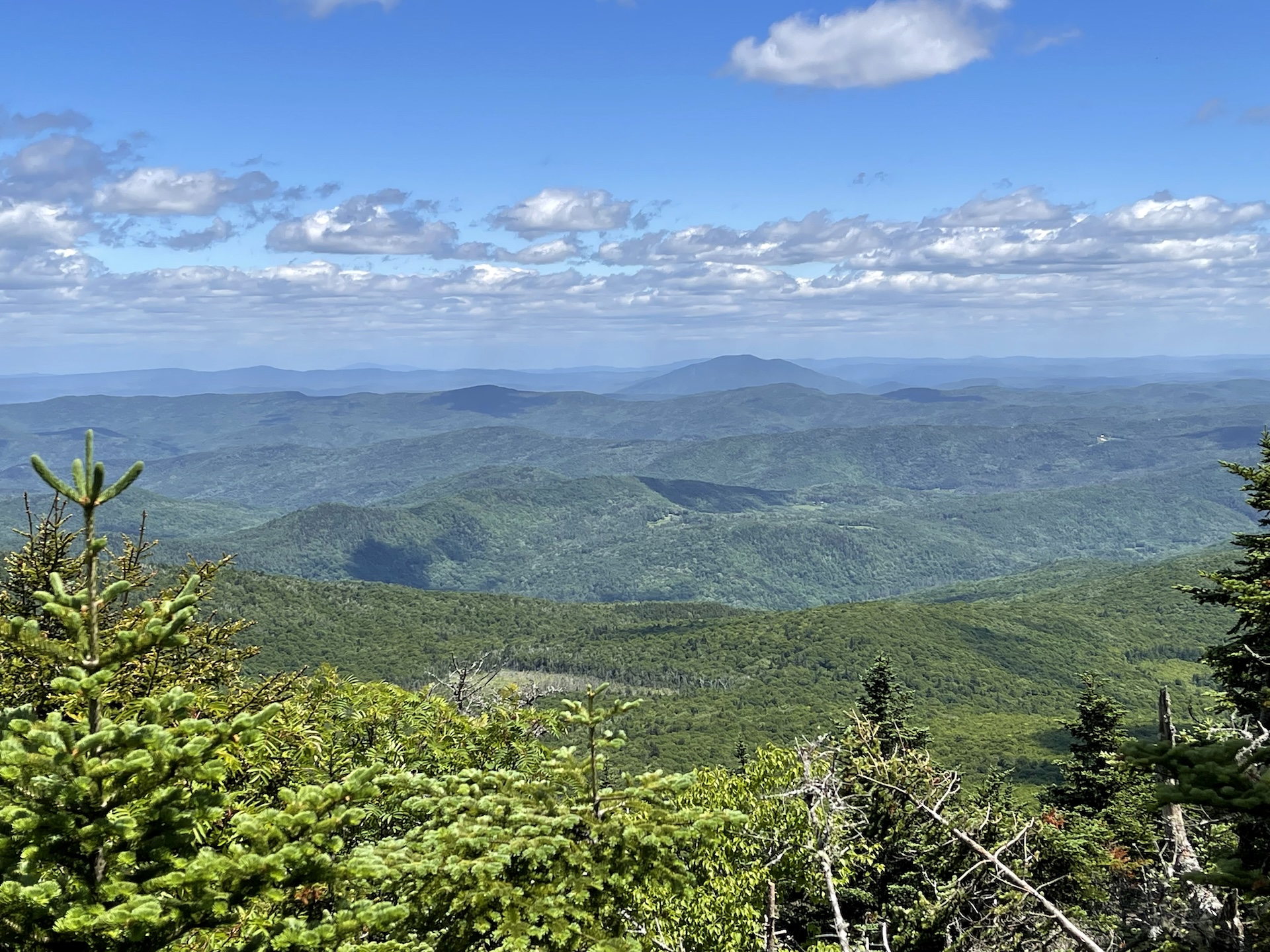
    The Deer Leap Trail is a relatively short but rugged hike to the top of a rock outcrop with impressive views of the Coolidge Range and Sherburne Pass. The trail starts on the north side of Rt. 4, at the east end of the Inn at Long Trail parking lot. Note that it is suggested to park across Rt. 4 as there is more space available. Be very cautious crossing the road to get to the trailhead, as it is on top of a busy blind hill. Once at the trailhead climb steadily for 0.5 miles on Deer Leap/Sherburne Pass Trail going north until the intersection with the Appalachian Trail (AT). This first section is very rocky. Turn left and follow the AT for about 200 feet. At the intersection with Deer Leap Trail turn left and continue for .4 mi to the Overlook Spur, which leads 0.2 mi to the Deer Leap Rock Lookout (1.1 mi). To return either continue back down Deer Leap Trail to Sherburne Pass Trail (2.2 mi) or continue past the overlook to make a loop (see description below). 

    To extend your hike, try the 3.5 mi Deer Leap Loop! From the Overlook Spur, continue 0.9 mi on the Deer Leap Trail until intersecting with the AT again. Turn right (AT north) and follow the AT 0.8 mi back to the original intersection. Turn right on the Deer Leap Trail/Sherburne Pass Trail to return to the parking lot. 

  • Bamforth Ridge Shelter

    Bamforth Ridge Shelter

    From the parking area, hike north on the Long Trail. Cross a bridge over Gleason Brook (0.6 mi), then on to Duxbury Window, a beautiful lookout over the Winooski Valley with a bench (1.6 mi). Note that most of the hike is a gradual incline, but the trail is fairly steep for a short stretch just before the Window. Continue past the lookout for 1.1 mi. until reaching Bamforth Ridge Shelter spur trail (2.7 mi). From here it is 0.2 mi. to Bamforth Ridge Shelter (2.9 mi), a cedar log lean-to that is the only shelter along the northern side of Camel’s Hump. To return, continue back south for 2.9 mi. on the LT until reaching River Rd. parking lot (5.8 mi).  

    You can extend this hike to the summit of Camel’s Hump, though it becomes steep and rugged. It is another 3.5 miles past Bamforth Ridge Shelter to reach the summit, with 2,183 ft. of elevation gain.  

  • Duxbury Window Trail

    Duxbury Window Trail

    A great option on a clear day! From the parking area on Duxbury Road, hike south on the Long Trail. Cross a bridge over Gleason Brook (0.6 mi), then on to a beautiful lookout over the Winooski Valley with a bench (1.6 mi). Note: Most of the hike is a gradual incline, but the trail is fairly steep for a short stretch just before the Window. To return follow Long Trail back south to parking lot (3.2 mi.).  

  • Stark Mountain Trail

    Stark Mountain Trail

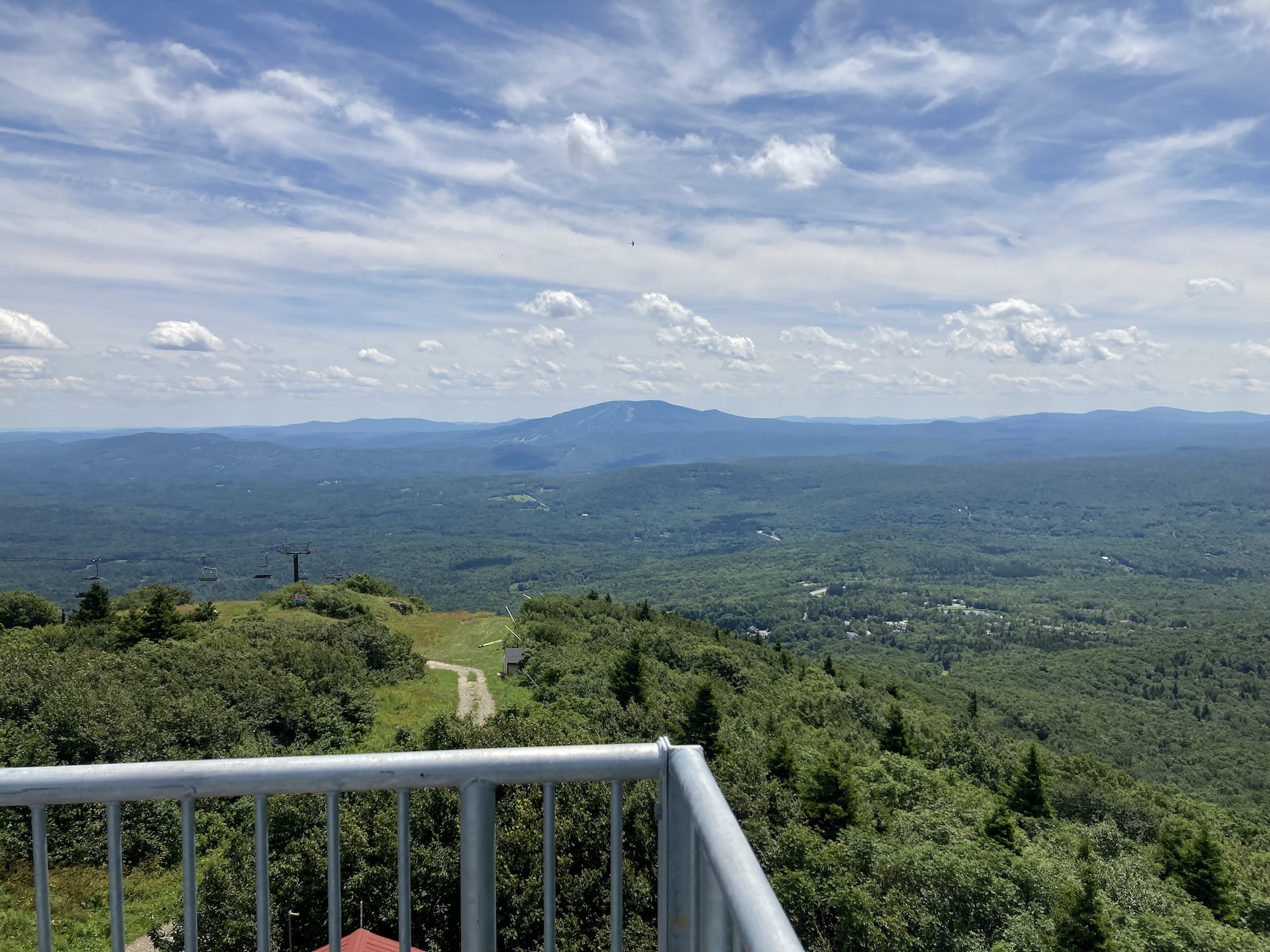
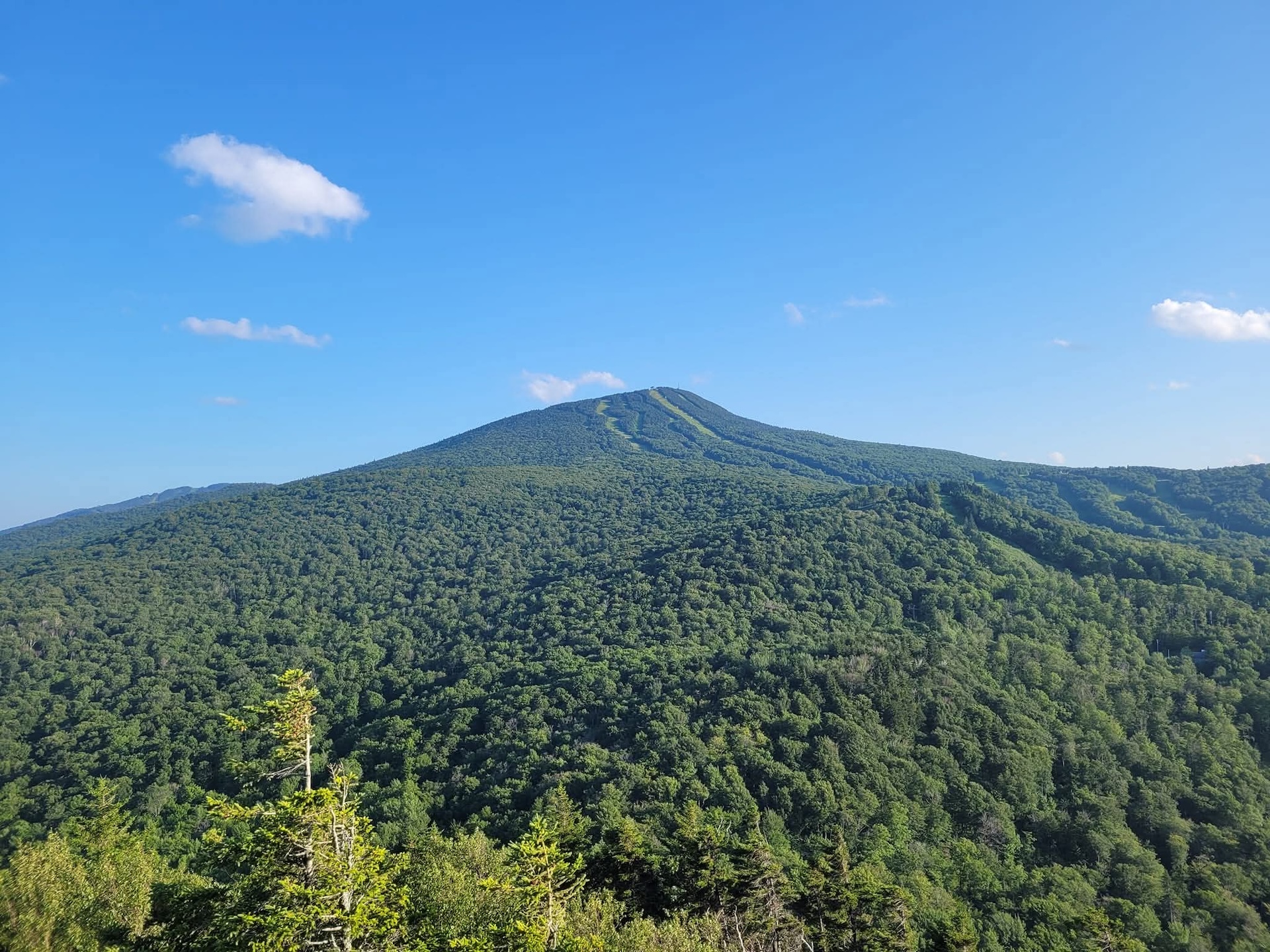
    Start at the Mad River Glen Single Chair loading station. The Stark Mountain Trail follows a wide service road for 1.5 mi. winding up the ski area. At  the intersection with Sunnyside Trail take a right to continue for 0.9 mi. (2.4 mi.). At the intersection with the Long Trail take a right onto Long Trail North for 0.1 mi until reaching the Stark’s Nest overlook at 3,644’ (2.5 mi). To return to Mad River Glen continue back on Long Trail going south for 0.1 mi. until reaching intersection with Sunnyside Trail (2.6 mi). Continue on Sunnyside Trail for 0.9 mi (3.5 mi.) until returning to Stark Mountain Trail for another 1.5 mi. back to the parking lot (5.0 mi).  

    This hike is a good option for Mud Season, after resort operations have ceased. Please be respectful of recreating on this active ski area. More information from Mad River Glen is available here

  • Molly Stark’s Balcony

    Molly Stark’s Balcony

    While short, the route to Molly Stark’s Balcony is a rugged walk on rolling terrain.  

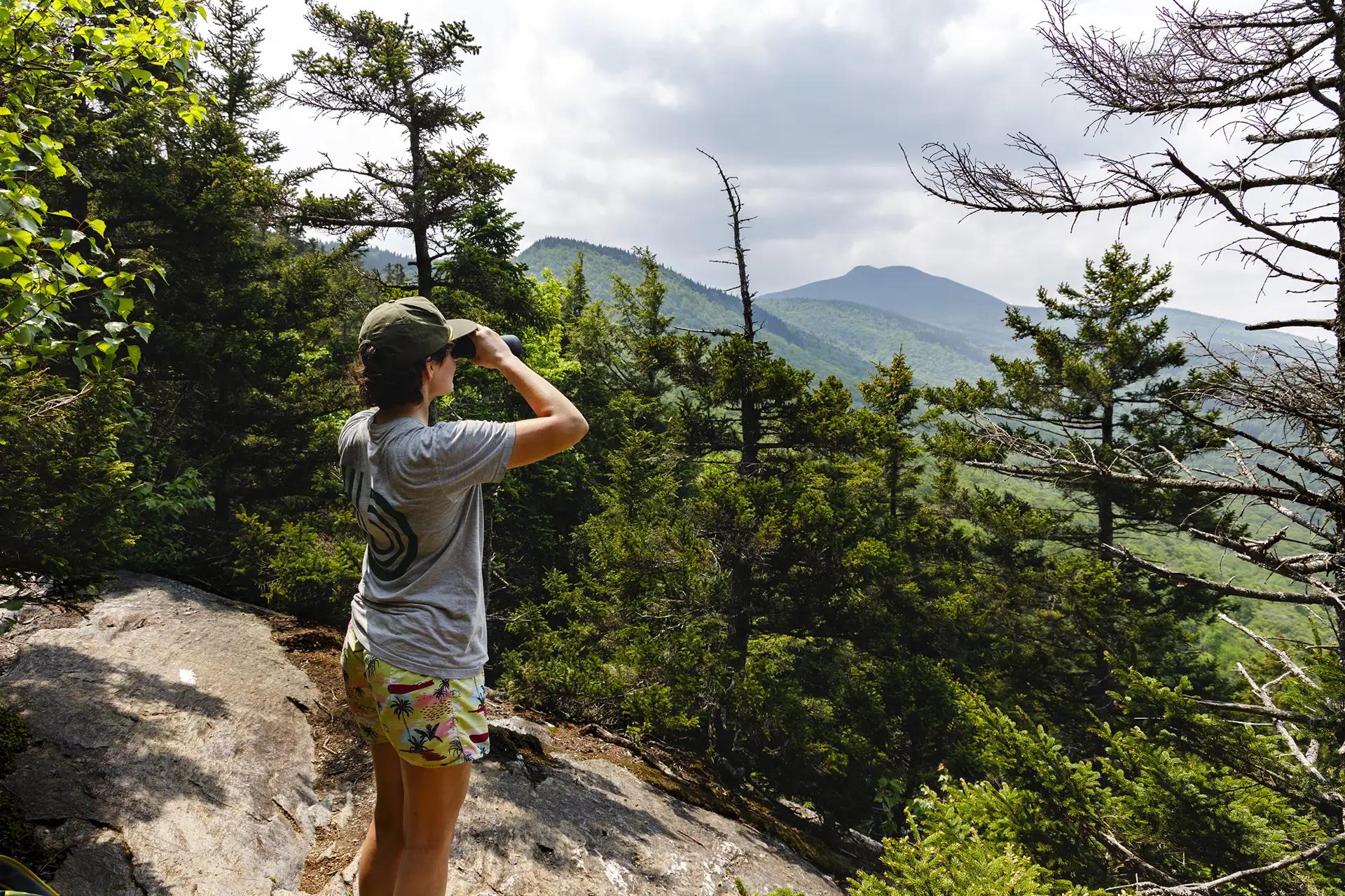
    From the Appalachian Gap parking lot, head north on the Long Trail for 0.4 mi past Mad River Lookout and reaching Baby Stark Mountain. Continue on the Long Trail North for 0.9 mi. over Molly Stark Mountain before a final short descent to the Balcony on the north slope of Molly Stark Mtn (1.3 mi). The Balcony features a northward view towards Camel’s Hump. To return head back on the Long Trail going south for 1.3 mi.  

    Molly Stark Mountain and Balcony are named after Elizabeth “Molly” Paige Stark. Molly Stark recruited men to fight for the Americans in the Battle of Bennington in 1777, contributing to the Americans’ victory. She also treated soldiers with smallpox and opened her home as a hospital to treat both American and British soldiers who’d been wounded. General Stark Mountain on the south side of App Gap is named after her husband John Stark.   

  • Section Hike: Southern Terminus to Route 9

    Section Hike: Southern Terminus to Route 9

    This two or three-day, one-to-two-night itinerary is a great way to get some southern Long Trail miles. Choose either the Pine Cobble Approach Trail or the Appalachian Trail to reach the Southern Terminus. You’ll have around 4,000 feet of elevation gain over 17-18 miles, along with a steep descent down to Route 9. It can also be hiked southbound, or condensed into two days.

    • Day 1: Pine Cobble Approach Trail or Appalachian Trail from North Adams to Seth Warner Shelter, 8 miles
    • Day 2: Seth Warner to Congdon Shelter, 4.8 miles
    • Day 3: Congdon Shelter to Route 9: 4.2 miles
  • Section Hike: Brandon Gap to Route 4

    Section Hike: Brandon Gap to Route 4

    This four-day, three-night, intermediate itinerary can be followed either north or south in Central Vermont, and could be modified to a 2-night trip for a more experienced backpacker. This is a great route for those who are looking to test their backcountry set up for multiple nights without too much mileage or elevation gain. It’s 20 miles total, with about 3,000 feet of total elevation gain, offering a remote feeling and views of Chittenden Reservoir.

    • Day One: Brandon Gap to Sunrise Shelter, 2.6 miles
    • Day Two: Sunrise Shelter to David Logan Shelter, 5.7 miles
    • Day Three: David Logan Shelter to Rolston Rest Shelter, 7 miles
    • Day Four: Rolston Rest Shelter to Route 4, 4.9 miles
  • Jerusalem Trail to Orvis Lookout

    Jerusalem Trail to Orvis Lookout

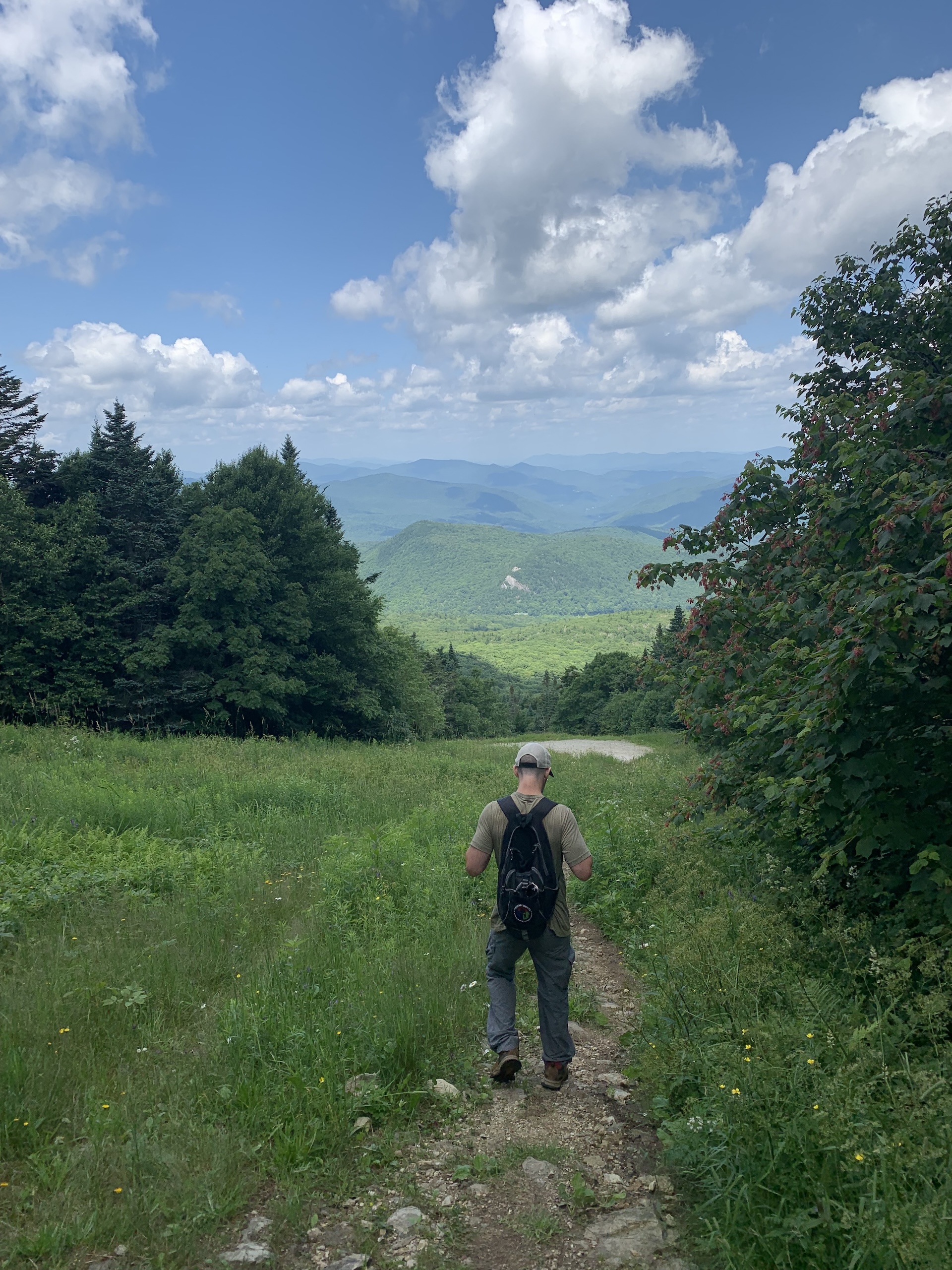
    From the Jerusalem trailhead, ascend the Jerusalem Trail 2.4 miles to the intersection with the Long Trail. Note that this trail passes through an active sugarbush for the first portion, crossing ATV trails and past maple tubes/lines. Be sure to stay on the blue-blazed trail. At intersection with the Long Trail take a left on the white-blazed LT North. Follow it a short distance to Orvis Lookout, which features westerly views of Lake Champlain (2.5 mi). To return follow the Long Trail back to meet up with Jerusalem Trail for another 2.4 mi (4.9 mi). 

    You can extend this hike to summit Mt. Ellen, one of Vermont’s 5 peaks above 4,000 feet. From the intersection of the Jerusalem Trail and the Long Trail, head south on the Long Trail for another 1.8 miles. Reach the wooded summit of Mt. Ellen (4.2 mi.). Mount Ellen is viewless, but there are great views from the top of the Sugarbush Ski Area just before the summit! Return the way you came for an 8.4-mile round trip hike (2,483 ft. elev. gain). 

  • Battell Trail to Battell Shelter

    Battell Trail to Battell Shelter

    From Elder Hill Rd. parking lot, climb steadily through a sugarbush for almost a mile. After crossing two small streams and an old woods road (1.0 mi.), and then another woods road (1.2 mi.), arrive at the LT (2.0 mi.) just south of Battell Shelter. Take a right onto Long Trail North for 0.1 mi until reaching Battell Shelter (2.1 mi). To return, take Battell Trail back down to parking lot (4.2 mi). 

    Battell Shelter is a popular overnight destination for end-to-end hikers and beginner backpackers alike. It is only about two miles from the nearest trailhead parking. A new, accessible shelter was built at this site in 2025 to expand capacity. Please take care to sleep only in the designated shelters, as the surrounding vegetation is fragile subalpine species and is suffering from overuse. 

    Note: From Battell Shelter, it is a challenging 0.8 miles on Long Trail North to reach the summit of Mount Abraham, one of Vermont’s five 4,000-footers and home to a small area of rare alpine vegetation. If continuing on to the summit, please take care to walk only on the rocks within the designated trail to protect these fragile plant communities.

  • Nebraska Notch to Taylor Lodge

    Nebraska Notch to Taylor Lodge

    This is a good moderate day hike or beginner-friendly overnight trip.

    From Stevensville Rd. Trailhead register, take a right onto Nebraska Notch Trail and follow it for1.5 mi. Nebraska Notch Trail is a gradual climb through the woods and near streams to reach Nebraska Notch. Where Nebraska Notch and the Long Trail intersect, take a right and follow the Long Trail South for 0.3 mi (1.8 mi.). The Long Trail then intersects with Clara Bow Trail, an optional side trail climbing over and under enormous boulders through the notch, with a ladder to aide in negotiating a vertical drop. You can also continue on the Long Trail for 0.4 mi. instead of Clara Bow, both routes reach Taylor Lodge (2.2 mi.).

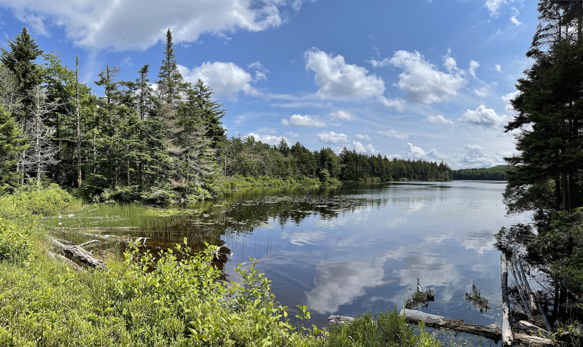
    Taylor Lodge features scenic views of a beaver pond and lovely streams. The lodge provides bunks for 6 to 12 people, along with comfortable bench tables outside. To return either take Clara Bow from the Lodge or Long Trail North (2.6 mi.) back to Nebraska Notch Trail then end at Stevensville Rd. (4.4 mi.).