
Hike Type: Out-and-Back
-
Killington Summit via Sherburne Pass Trail
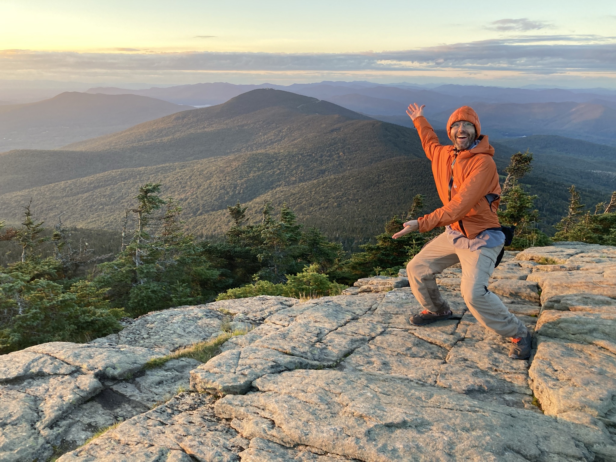
For a longer trip to the top of Vermont’s second-highest peak, take the Sherburne Pass Trail south from the parking lot at Rt 4. Pass Pico Camp (2.7 mi) and continue another 0.4 mi to an intersection with the Long Trail at Jungle Junction (3.1 mi). Follow the LT South as it gradually climbs for 2.3 miles to Cooper Lodge, the highest shelter on the Long Trail…
-
Bamforth Ridge Shelter
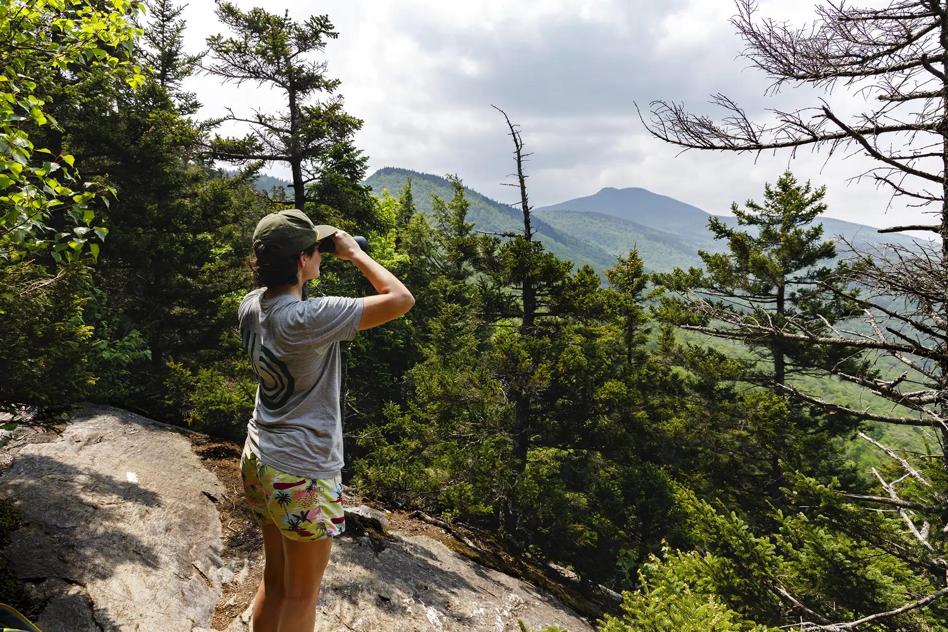
From the parking area, hike south on the Long Trail. Cross a bridge over Gleason Brook (0.6 mi), then on to Duxbury Window, a beautiful lookout over the Winooski Valley with a bench (1.6 mi). Note that most of the hike is a gradual incline, but the trail is fairly steep for a short stretch just before the Window. Continue past the lookout…
-
Burrows Trail
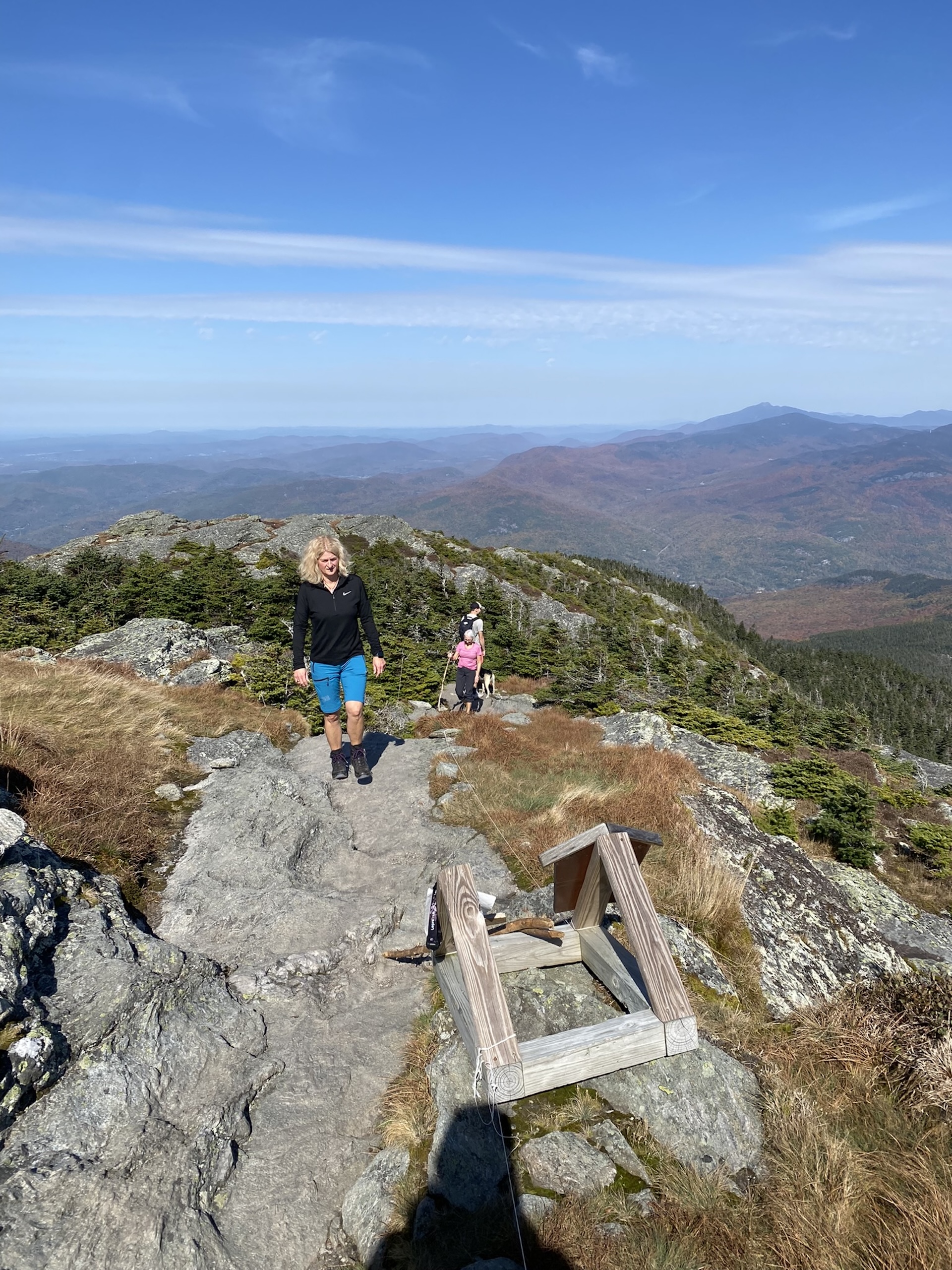
See the results of a three-year restoration of the extremely popular Burrows Trail, completed by GMC and FPR in 2024. This trail is steep and difficult, but the work put in by crews over the last three years has made the footing a lot more manageable. There are a few new re-routes on the lower part…
-
Duxbury Window Trail
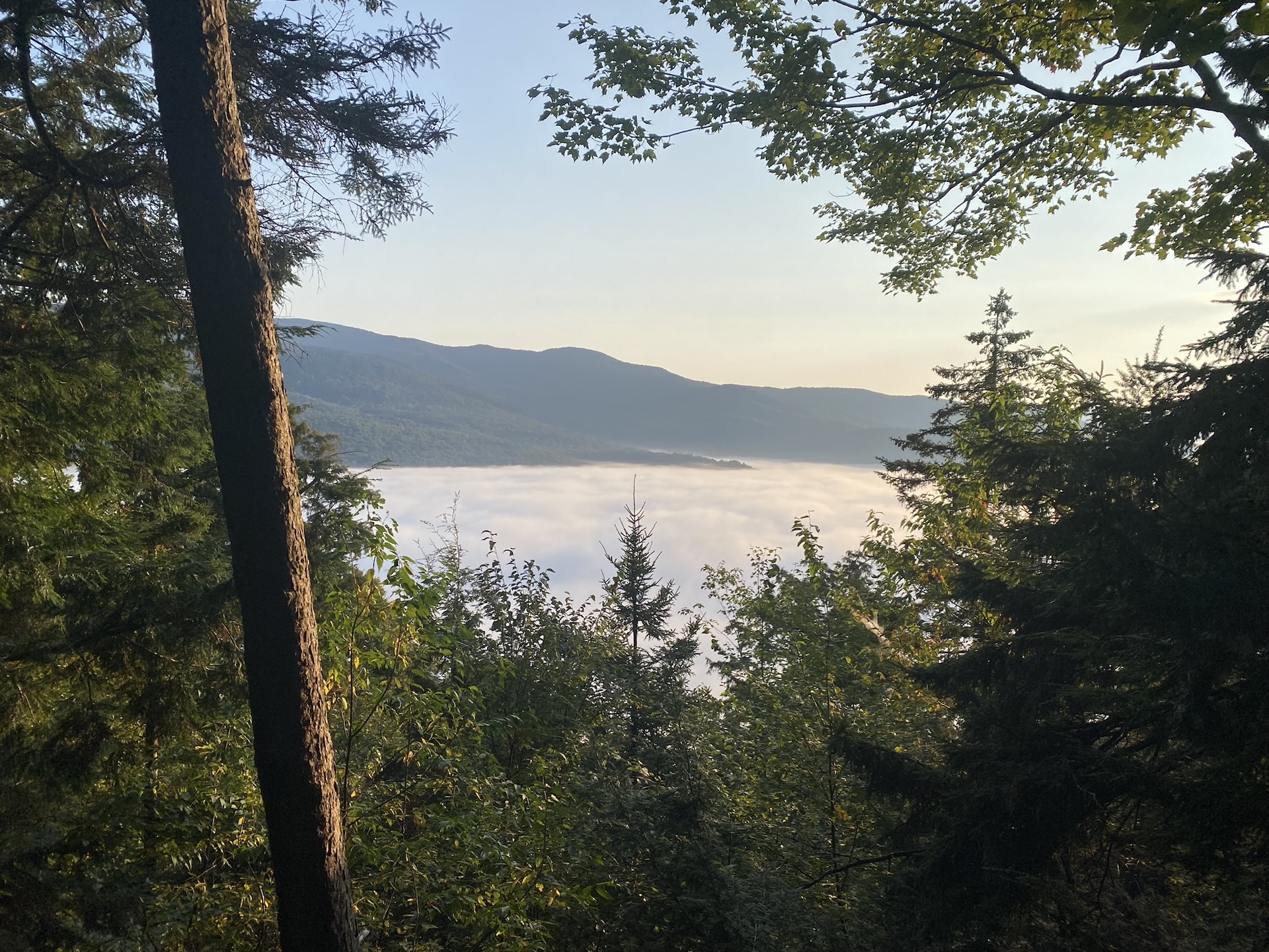
A great option on a clear day! From the parking area on Duxbury Road, hike south on the Long Trail. Cross a bridge over Gleason Brook (0.6 mi), then on to a beautiful lookout over the Winooski Valley with a bench (1.6 mi). Note: Most of the hike is a gradual incline, but the trail is fairly steep for a short…
-
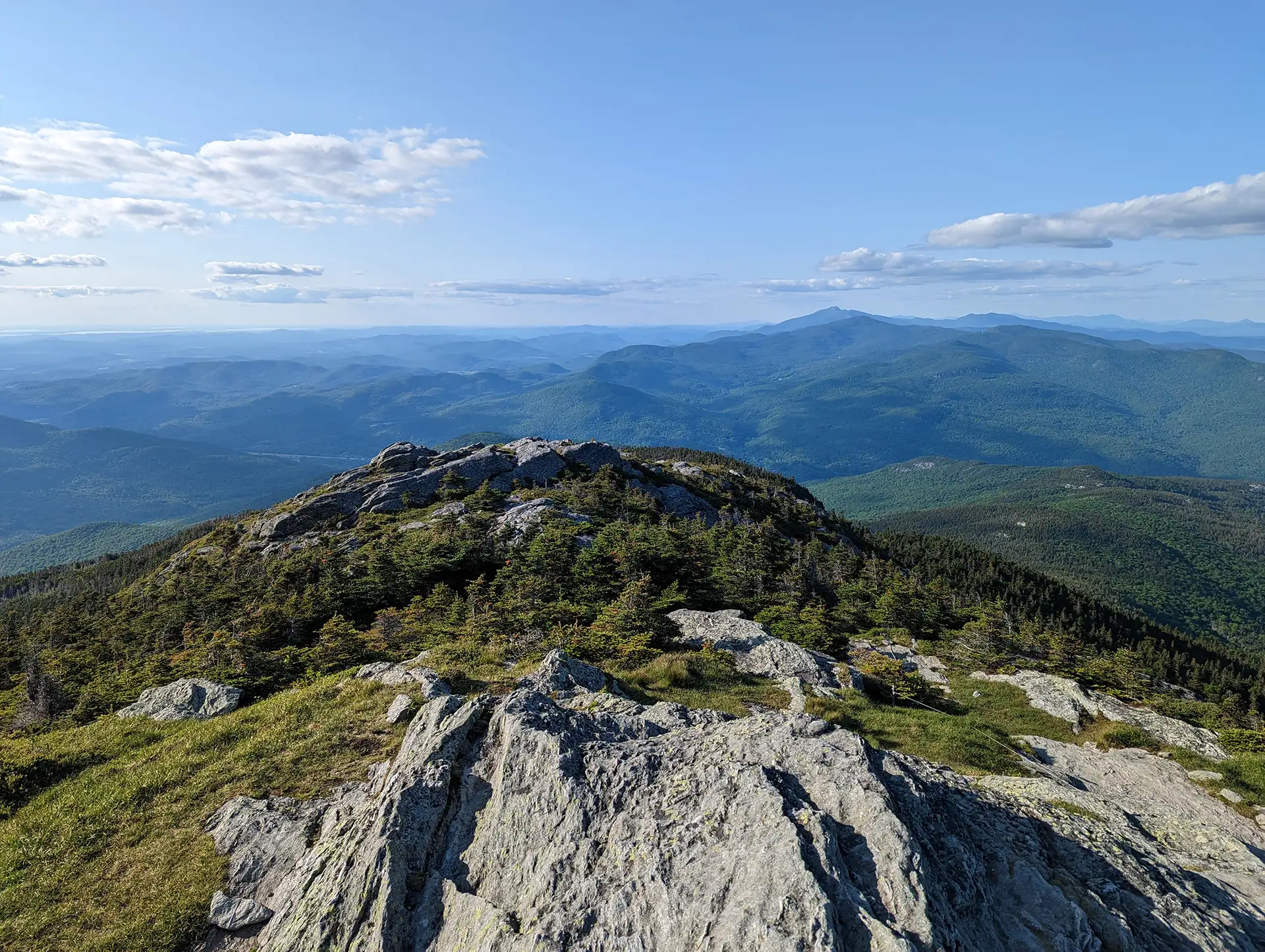
Camel’s Hump Summit via Monroe and Alpine Trails
From the Monroe Parking lot, follow the blue-blazed Monroe Trail for 1.3 mi. At the intersection with Dean Trail, stay right on Monroe for 1.2 mi (2.5 mi). At intersection with the Alpine Trail continue right on Alpine Trail for 1.2 mi (3.7 mi). Turn left onto Long Trail South for 0.8 mi towards the summit (4.5 mi). From the Hut Clearing continue on Long Trail South for 0.3 mi (4.8 mi). to the summit. The summit of Camel’s Hump is one of the five tallest in Vermont at 4,083’ and offers 360-degree views to the Adirondacks, Whites, and Green Mountains. Continue over the…
-
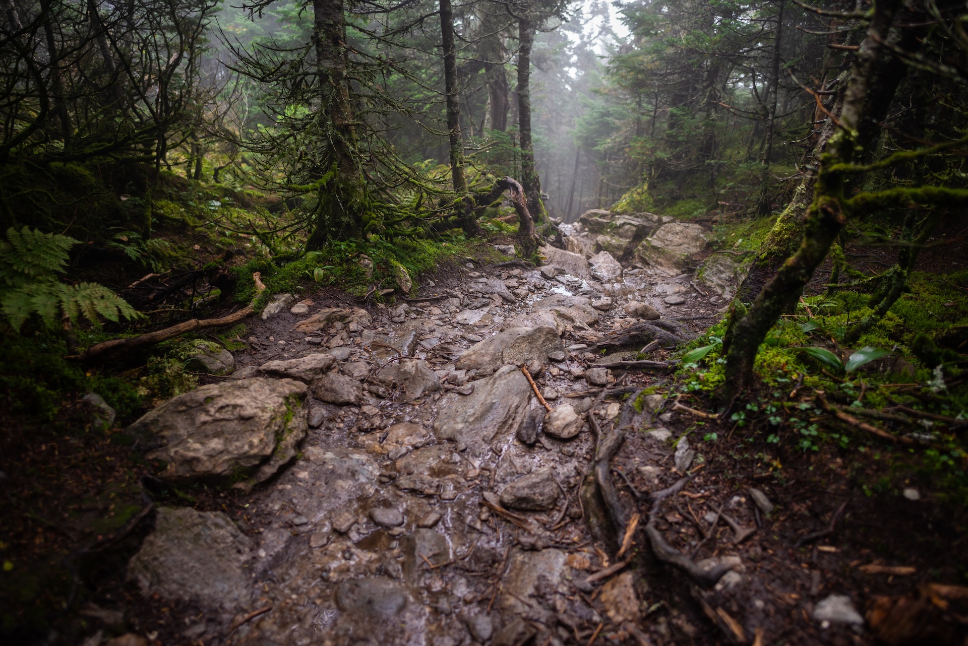
Camel’s Hump Summit via Monroe and Dean Trails
From the Monroe Parking lot, follow the blue-blazed Monroe Trail for 1.3 mi. At the first intersection take a left onto Dean Trail, continuing for 1.0 mi. to Wind Gap (2.3 mi). From Wind Gap take a right onto Long Trail North. Follow for 1.5 mi. to the summit of Camel’s Hump (3.8 m.). The summit of Camel’s Hump is one of the five tallest in Vermont at 4,083’ and offers 360-degree views to the…
-
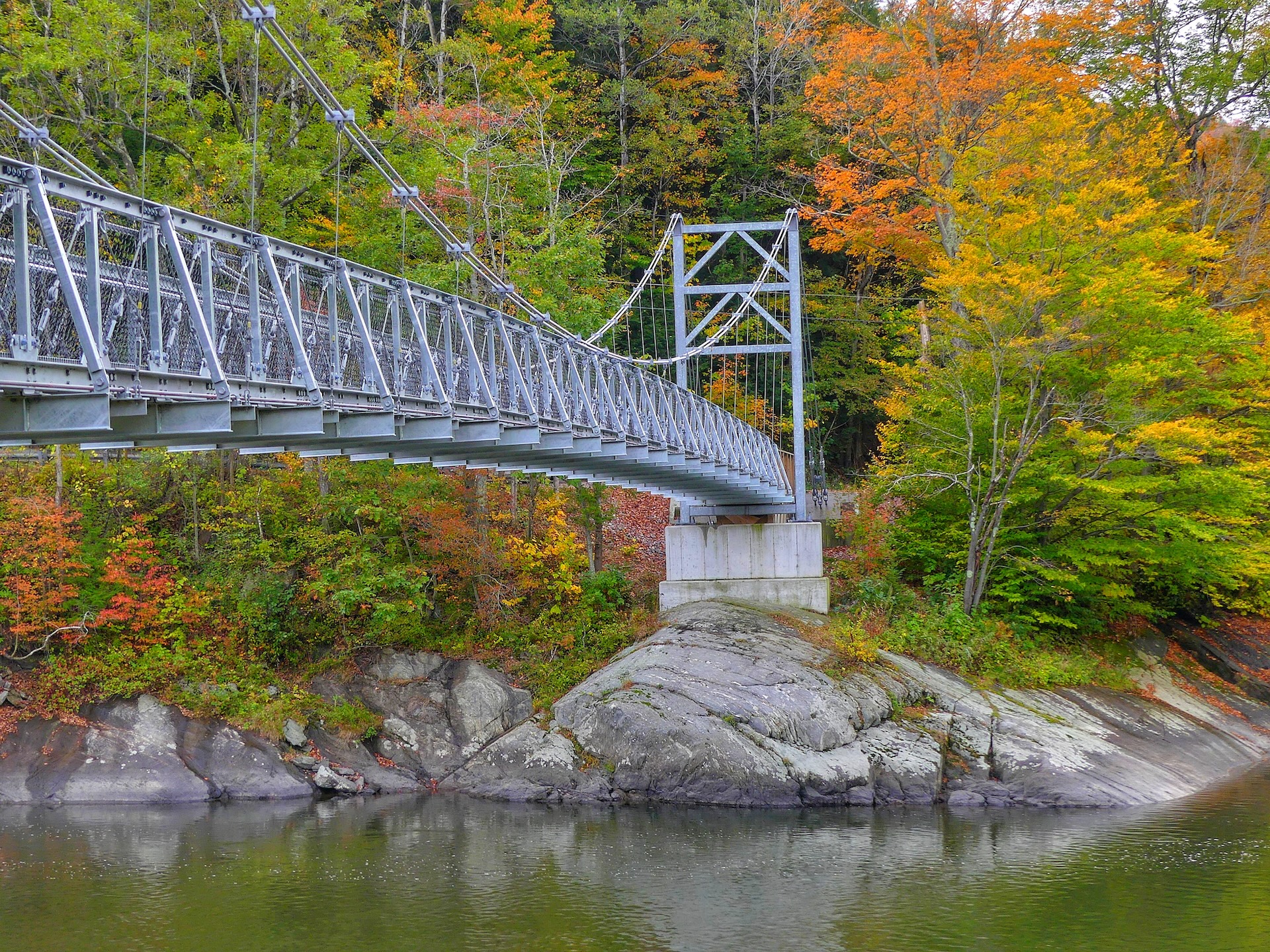
Winooski Footbridge
This 224-foot Long Trail suspension bridge, built and maintained by the Green Mountain Club, is accessible from Duxbury Road on the south side of the Winooski River. The bridge is wheelchair accessible from the south side, on Duxbury Road, but there is no parking permitted here. Park about 1.0 mi east on Honey Hollow Road and carefully…
-
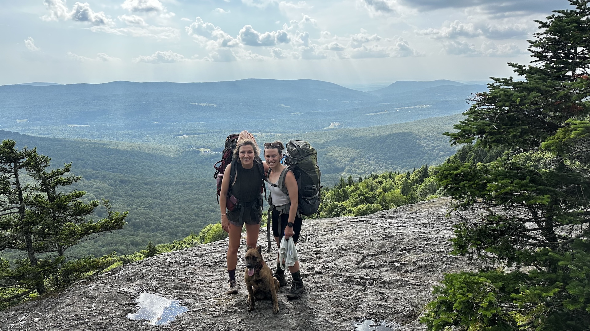
Sunset Ledge from Lincoln Gap
This short, popular hike leads to open ledges with views west to Lake Champlain and the Adirondacks. From the parking lot, follow the white-blazed Long Trail South for 1.1 miles until reaching the lookout, Sunset Ledge. To return, follow the Long Trail back north to the parking area (2.2 mi). While this trail is short, be prepared for some rugged terrain as you ascend…
-
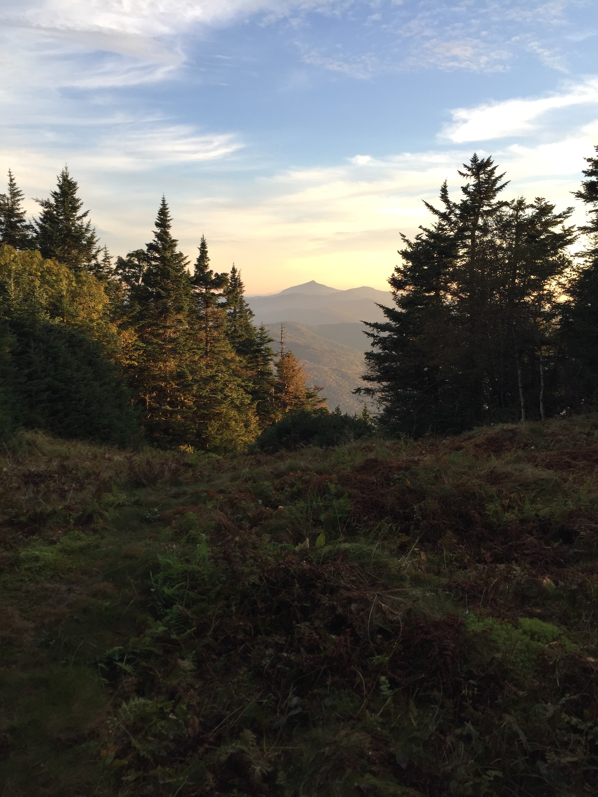
Stark Mountain Trail
Start at the Mad River Glen Single Chair loading station. The Stark Mountain Trail follows a wide service road for 1.5 mi. winding up the ski area. At the intersection with Sunnyside Trail take a right to continue for 0.9 mi. (2.4 mi.). At the intersection with the Long Trail take a right onto Long Trail North for 0.1 mi until reaching the Stark’s Nest overlook at 3,644’ (2.5 mi). To return to Mad River Glen continue back on Long Trail going…
-
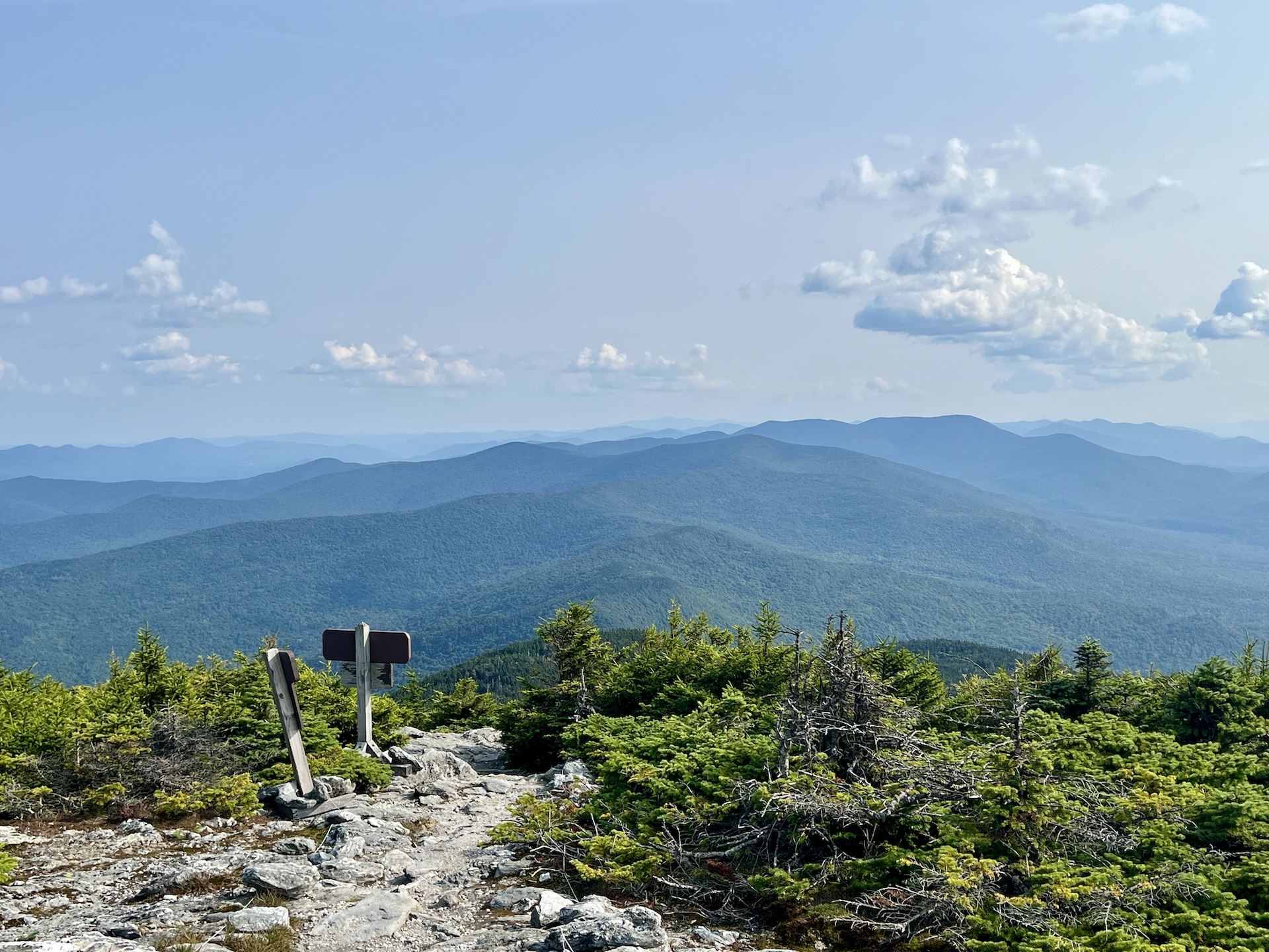
Mt. Abraham via the Long Trail
From the Lincoln Gap trailhead, hike north on the Long Trail for 1.7 miles to Battell Shelter. Continue 0.9 miles on Long Trail North (2.6 mi). This section north of the shelter includes a few rocky scrambles before emerging above tree line and reaching the Mount Abraham summit at 4,006’. Mt. Abe is one of the five 4,000-foot peaks in Vermont, and from the summit there are views of the Champlain Valley…