Region: Mount Mansfield

  • Halfway House and Sunset Ridge Loop

    Halfway House and Sunset Ridge Loop

    From Underhill State Park parking area, walk along the Park Road Trail for about one mile. Take a right onto CCC Road for 0.2 mi. (1.1 mi.).Turn left onto Halfway House Trail for 0.9 mi.(2.0 mi.). At intersection with Canyon Trail continue on Halfway House for 0.3 mi. until reaching the Long Trail (2.3 mi.). Turn left and continue on Long Trail North for 1.2 mi. (3.5 mi.) until reaching the Chin, the highest point in Vermont at 4,395 ft. To return, continue back down Long Trail South to Sunset Ridge Trail for 3.2 miles (6.7mi.).

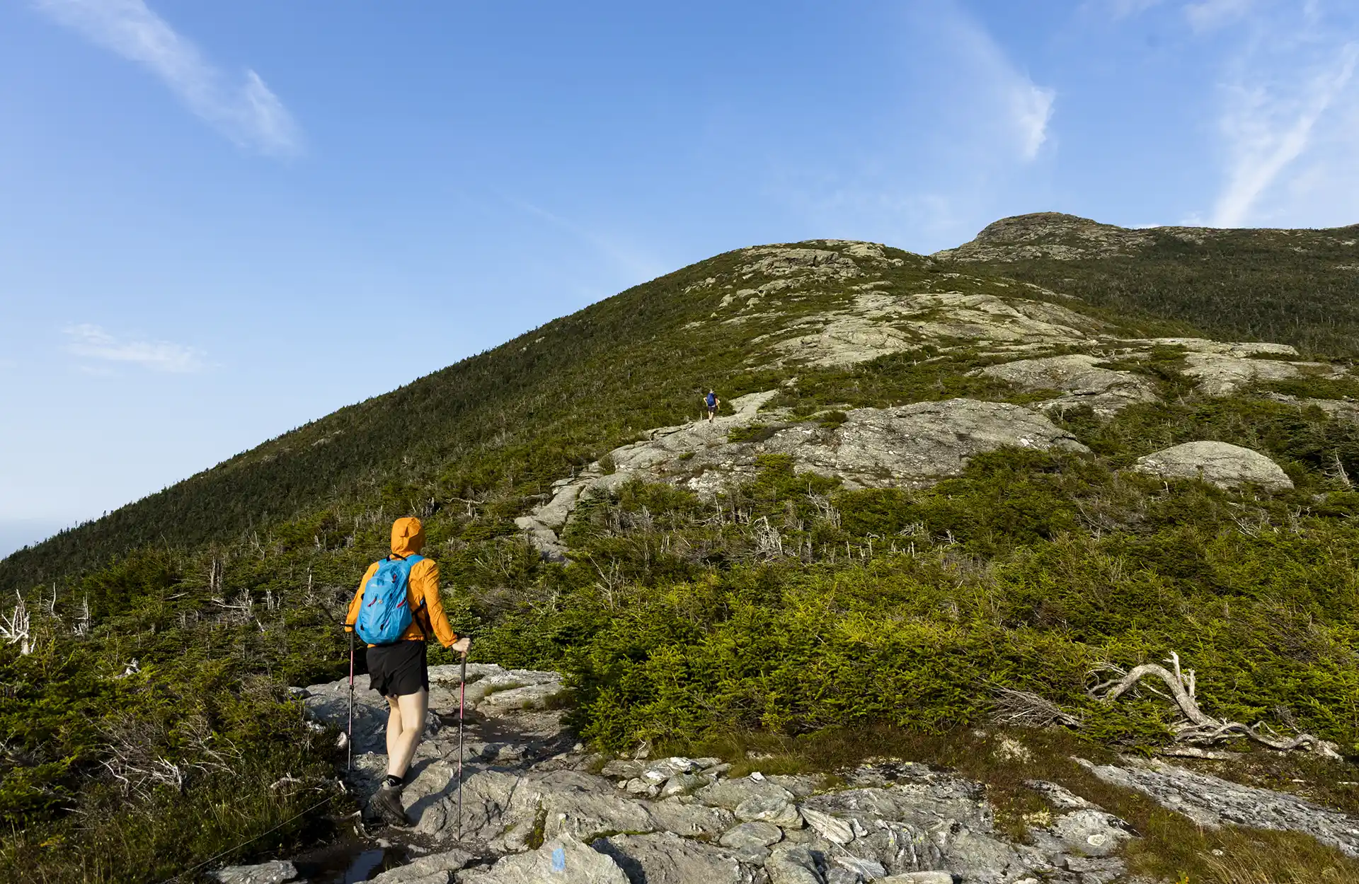
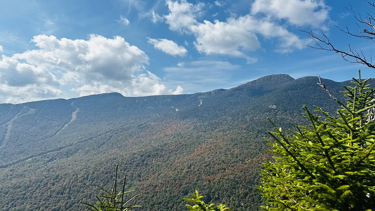
    Mt. Mansfield, the tallest point in Vermont, features a long summit ridge with multiple high points. The ridge is said to look like the profile of a person, so its high points have names like the Forehead, the Nose (not open to the public), and the Chin (the highest point in Vermont, at 4,395’). It also has long side ridges, like Sunset Ridge. It is one of the most popular hiking destinations in Vermont and can become very crowded, drawing visitors from all over the Northeast and Quebec. In order to avoid crowds, plan to visit early in the morning or on weekdays.

    There are multiple ways up to the summit of Mt. Mansfield from multiple trailheads. Please note that the trails described here leave from Underhill State Park. There are a few loop options available from the Underhill Trailhead. If planning to start and end at different trailheads, make sure to drop a car and plan for the driving distance between trailheads, which can be as much as two hours.

  • Gondola to Cliff Trail

    Gondola to Cliff Trail

    There are multiple ways up to the summit of Mt. Mansfield from multiple trailheads. This description involves a paid gondola ride, operated by Stowe Mountain Resort, followed by a short but difficult hike to the summit.

    Stowe Gondola SkyRide is owned and operated by Vail Resorts and Stowe Mountain Resort. The Gondola runs seasonally from mid-June to mid-October. Riding the gondola requires a pass, sold at Stowe Mountain Resort. Dogs are permitted. The Gondola ride takes about 20-30 minutes and stops at the Cliff House restaurant. If you’d like to hike up to the summit of Mount Mansfield, take the short, but steep Cliff Trail to the Long Trail. For more information on times and pass prices visit: Gondola SkyRide | Stowe.

    From Gondola to Summit: From Cliff House, take Cliff Trail connector for 0.1 mi. until reaching Cliff Trail. Continue right on the steep and rugged Cliff Trail for 0.3 mi. until reaching the Long Trail. At the intersection of the Cliff Trail with the Long Trail take a right onto Long Trail North. Continue on Long Trail North for 0.4 mi until reaching the Chin, or the highest point of Mount Mansfield (0.8 mi). To return to the gondola take Long Trail South 0.4 mi. back to Cliff Trail, then down a steep 0.4 mi. back to the Cliff House. Note that the last gondola is at 4:15 p.m. so allow time to get back down to the Cliff House before then.

    Mt. Mansfield, the tallest point in Vermont, features a long summit ridge with multiple highpoints. The ridge is said to look like the profile of a person, so its highpoints have names like the Forehead, the Nose, and the Chin (the highest point in Vermont, at 4,395’). It also has long side ridges, like Sunset Ridge. It is one of the most popular hiking destinations in Vermont and can become very crowded, drawing visitors from all over the Northeast and Quebec. In order to avoid crowds, plan to visit early in the morning or on weekdays.

  • Laura Cowles and Sunset Ridge Loop

    Laura Cowles and Sunset Ridge Loop

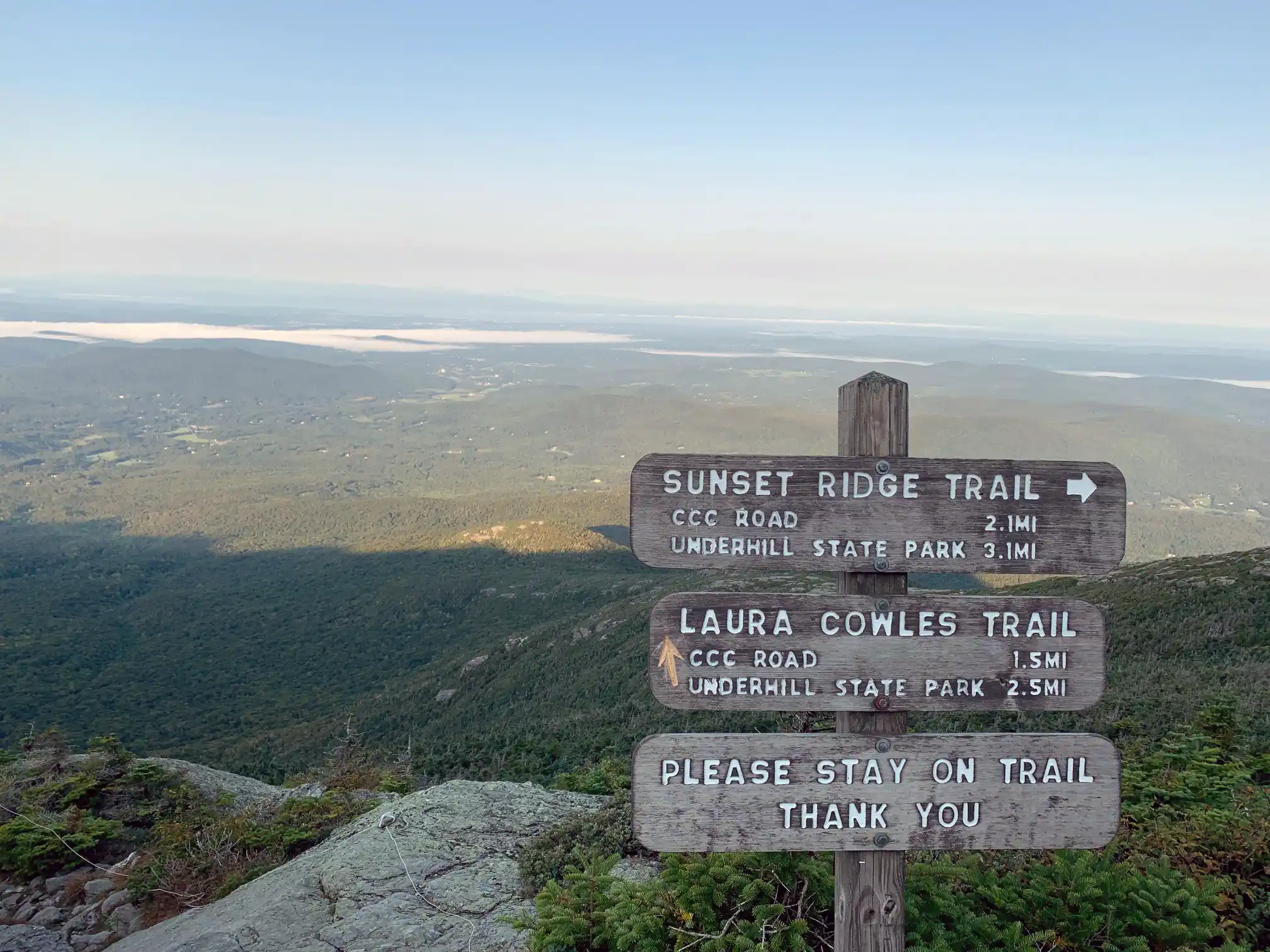
    From Underhill State Park follow Park Road Trail for 0.9 mi. until intersection with Sunset Ridge Trail and CCC Road Trail (0.9 mi.). Take a left at the intersection, following Sunset Ridge Trail for 0.1 mi (1.0 mi.). Turn right onto Laura Cowles Trail. Follow Laura Cowles for 1.4 mi. (2.4 mi.) until reaching intersection with Sunset Ridge Trail. Continue straight for 0.1 mi. To top of ridgeline.Take a left and follow Long Trail North for 0.2 mi. until reaching the summit also known as the Chin. (2.7 mi.) at 4,395 ft. From the Chin, turn back down Long Trail going south for 0.2 mi. until again reaching Sunset Ridge and Laura Cowles Trail intersection (2.9 mi.). Take a right from the Long Trail onto a connector trail for 0.1 mi. until reaching the intersection (3.0 mi.). Turn right, going down Sunset Ridge Trail following an open ridgeline for 2.0 mi. (5.0 mi.). Continue past Laura Cowles Trail intersection for 0.1 mi. (5.1mi.) until reaching Park Road Trail once again. Follow Park Road for 0.9 miles back to Underhill State Park (6 mi.).  

    Mt. Mansfield, the tallest point in Vermont, features a long summit ridge with multiple highpoints. The ridge is said to look like the profile of a person, so its highpoints have names like the Forehead, the Nose, and the Chin (the highest point in Vermont, at 4,395’. It also has long side ridges, like Sunset Ridge. It is one of the most popular hiking destinations in Vermont and can become very crowded, drawing visitors from all over the Northeast and Quebec. In order to avoid crowds, plan to visit early in the morning or on weekdays.

    There are multiple ways up to the summit of Mt. Mansfield from multiple trailheads. Please note that the trails described below leave from Underhill State Park. There are a few loop options available from the Underhill Trailhead. If planning to start and end at different trailheads, make sure to drop a car and plan for the driving distance between trailheads, which can be as much as two hours.

  • Elephant’s Head Cliff (via Long Trail) 

    Elephant’s Head Cliff (via Long Trail) 

    There are a few different ways to reach the Elephant’s Head Cliff overlook, which offers spectacular views of Smuggler’s Notch and Mount Mansfield. This description is for the Long Trail route.

    Start at the Barnes Camp visitor center and take the Long Trail North, which starts behind the building. Cross the West Branch Waterbury River on a bridge. Follow the Long Trail North, passing an intersection with the Barnes Camp Loop Trail at 0.5 miles. At this point the trail continues, climbing steeply, another 2.4 miles north along the Smuggler’s Notch wall to the Elephant’s Head Spur Trail (2.9 mi). To get to the cliffs, take a left at the spur trail for0.1mile (3.0 mi). Be careful of this on the spur trail because it slopes downward to the cliffs and in wet conditions can be slippery. To return, follow Long Trail South for 2.9 mi. back to Barnes Camp (6.0mi).

  • Frost Trail and Butler Lodge Loop

    Frost Trail and Butler Lodge Loop

    This is a good moderate day hike or beginning overnight trip.

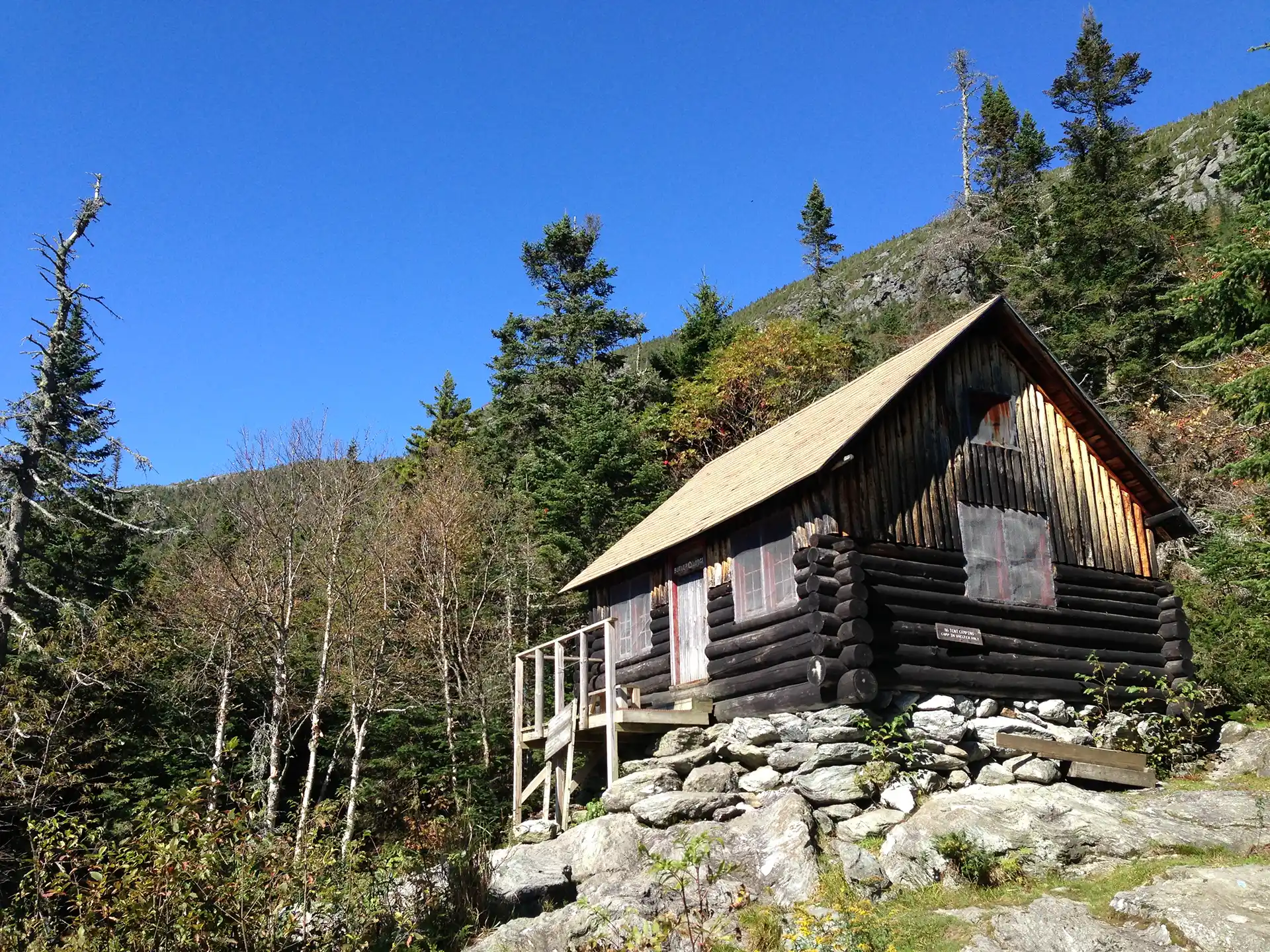
    A beautiful but difficult 4.8-mile loop can be made by connecting the Frost, Maple Ridge, Rock Garden, and Butler Lodge Trails. The loop provides a variety of terrain with many amazing views, exciting rock scrambles and caves, interesting birch forests, and of course, Butler Lodge, one of the overnight sites found along the Long Trail.

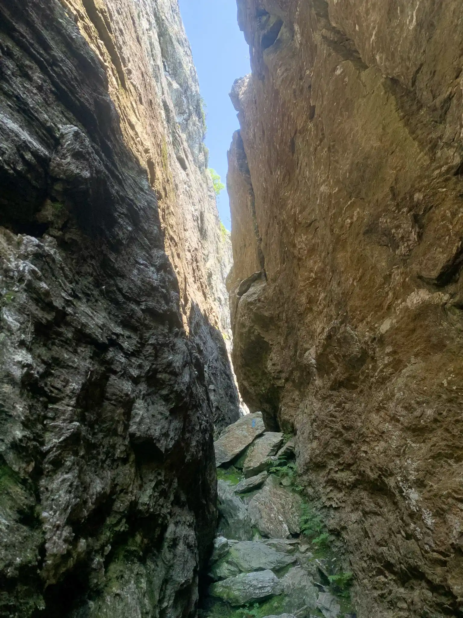
    From Stevensville parking lot, follow an old logging road for 0.2 mi. passing a gate. From the logging road (0.2 mi.) bear left at the Butler Lodge and Frost Trail intersection (0.3 mi.) following the Frost Trail crossing Stevensville Brook. Climb steadily for 1.4 mi. on the Frost Trail to the intersection with the southmost knob of Maple Ridge (1.7 mi.). Take a right at the Maple Ridge and Rock Garden intersection and follow Rock Garden Trail for 0.6 mi. Rock Garden is abundant with boulders, rock scrambles, and a narrow squeeze, making it challenging when wet. At the intersection with Wampahoofus Trail, continue on Rock Garden Trail for 0.1 mi. to Butler Lodge (2.8 mi.). At nearly 3,000ft., Butler Lodge is one of the Long Trail System’s highest overnight sites (tenting is not allowed at Butler Lodge). From Butler Lodge continue south down Butler Lodge Trail past Wallace Cutoff Trail (3.0 mi.) intersection for 1.8mi. back to the Stevensville Parking Lot (4.8 mi.).

    There are multiple ways up to the summit of Mt. Mansfield from multiple trailheads. Please note that the trails described here leave from the Stevensville Trailhead in Underhill. If planning to start and end at different trailheads, make sure to drop a car and plan for the driving distance between trailheads, which can be as much as two hours.

  • Beaver Meadow Lodge Loop

    Beaver Meadow Lodge Loop

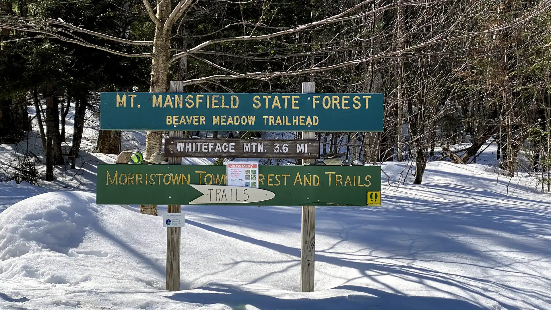
    The trail to Beaver Meadow Lodge follows an old road to a high basin surrounded by mountains on three sides and makes an excellent family hike. On a clear day, it is possible to see Whiteface Mountain to the north. Beaver Meadow Lodge is one of two shelters within the Long Trail System with a woodstove making it an excellent winter overnight spot.

    From Beaver Meadow Rd. parking lot take the Beaver Meadow Trail for 1.8 mi to an intersection with the Beaver Meadow Loop Trail. You can take this loop in either direction, but if you bear left, you will reach the Beaver Meadow Lodge and the intersection with the Chilcoot Trail (2.3 mi.) Continue around the loop, which skirts a meadow, for another 0.5 mi, then return to your car via the Beaver Meadow Trail for 1.8 mi. (4.6 mi.)

  • Barnes Camp Loop

    Barnes Camp Loop

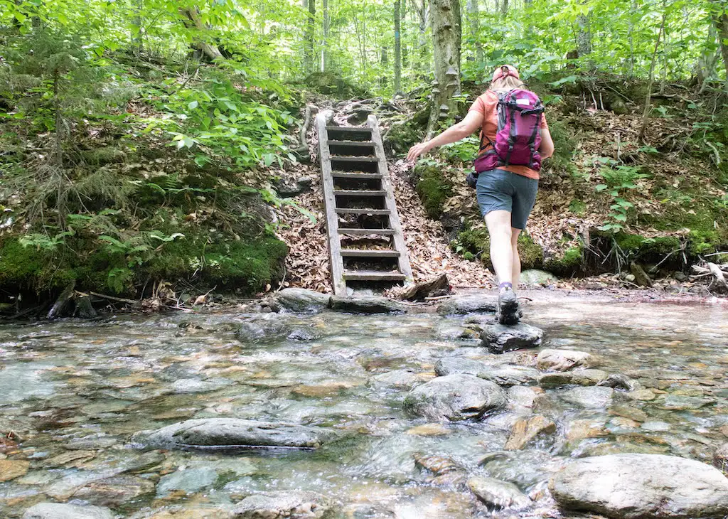
    The Barnes Camp Loop starts on the Long Trail South at the boardwalk on the northern end of the parking lot. Proceed along the boardwalk with wetland views then continue on single track Long Trail North, blazed in white. In 0.3 mi. at intersection with Long Trail South and Picnic Area, turn right toward picnic area following blue blazes. Continue for 0.3 mi. to next intersection where Smugglers Notch picnic area is 0.1 mi. straight ahead. To continue on Barnes Camp Loop, turn right following blue blazes descending steps to the West Branch Waterbury River. Then cross the river, either rock hopping or fording during low water. Note there is no bridge crossing so in high water conditions it can be difficult. After crossing the river, the trail becomes moderately steep, gaining 400 ft. In a quarter mile. In 0.3 mi. at junction with Long Trail turn right following Long Trail South and Barnes Camp signs. The trail blazes are now white. The trail continues with a moderate descent for 0.5 mi. back to Barnes Camp completing the loop.