
Difficulty: Difficult
-
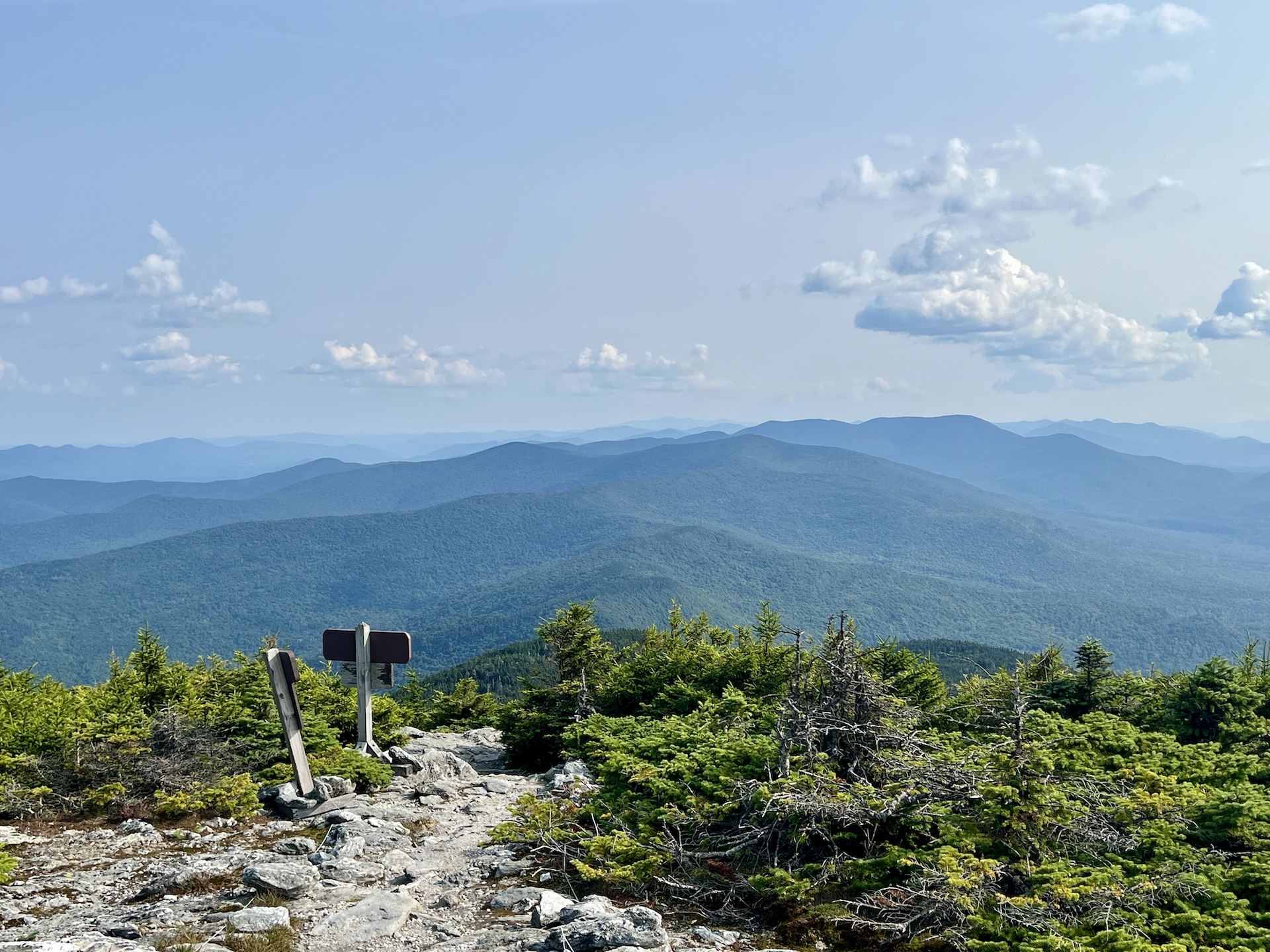
Mt. Abraham via the Long Trail
From the Lincoln Gap trailhead, hike north on the Long Trail for 1.7 miles to Battell Shelter. Continue 0.9 miles on Long Trail North (2.6 mi). This section north of the shelter includes a few rocky scrambles before emerging above tree line and reaching the Mount Abraham summit at 4,006’. Mt. Abe is one of the five 4,000-foot peaks in Vermont, and from the summit there are views of the Champlain Valley…
-
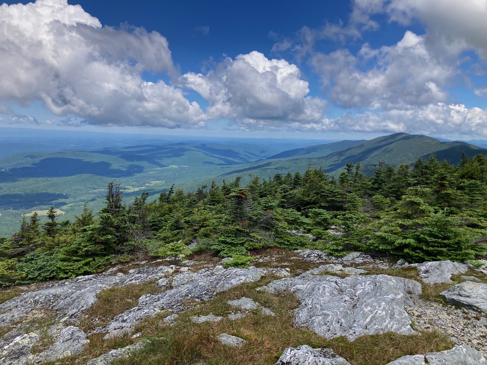
Monroe Skyline
This classic section of the Long Trail, the Monroe Skyline day hike, requires two cars and a drop-off at one end of the hike. It can be hiked in either direction but this description goes north to south. This hike summits two of Vermont’s five 4,000-foot peaks (Mt. Abraham and Mt. Ellen). Allow all day for this hike, or stay…
-
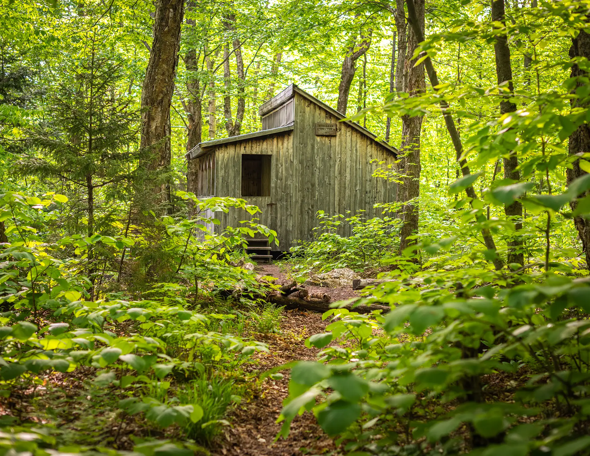
Section Hike: Camel’s Hump to Route 108
This challenging, 35-mile itinerary traverses some of the most iconic summits of the Long Trail, Camel’s Hump and Mount Mansfield, and crosses the Winooski River Valley. With 10,000 feet of elevation gain, it offers amazing 360-degree views of the Long Trail, the White Mountains in New Hampshire, Lake Champlain, and the Adirondacks in New York.…
-
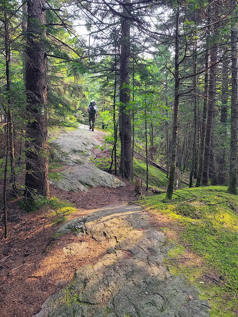
Section Hike: Jay Pass (Route 242) to Northern Terminus
Complete the Northern Terminus with a two-day, one-night hike from Jay Pass. For extra miles, this hike could also be done from Route 118, Hazen’s Notch.
-
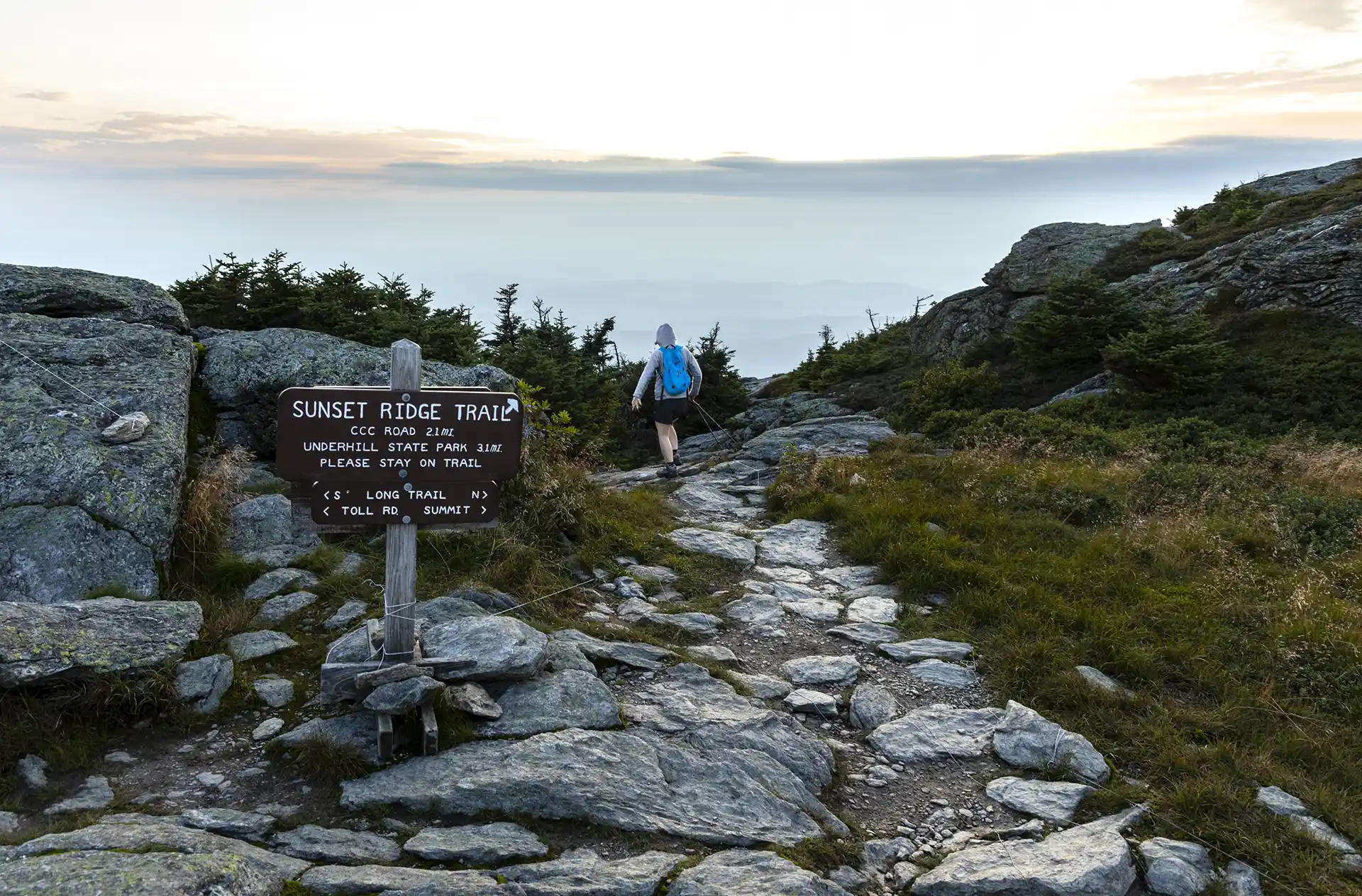
Sunset Ridge to Mansfield Summit (the Chin)
One of the busiest trails in the state, the Sunset Ridge Trail is a moderately difficult, very scenic pathway to the summit. This is the easiest route to the summit from the western side, and the recommended route down the mountain to complete a loop with Laura Cowles, Halfway House, or Maple Ridge trails. From…
-

Maple Ridge and Sunset Ridge Loop
Starting at Underhill State Park follow Park Road Trail until its intersection with the Sunset Ridge Trail and CCC Road Trail (0.9 mi.). Take a right at the intersection to follow CCC Road for 1.1 mi. (2.0 mi.). At the intersection of Maple Ridge and Frost Trail, take a left onto Maple Ridge Trail continuing…
-
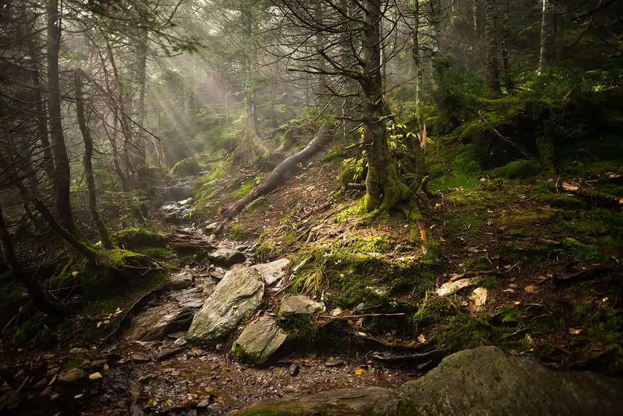
Hellbrook Trail
Hellbrook Trail is one of the most strenuous trails on the east side of Mount Mansfield. Descending this trail in wet weather is not recommended. This trail ascends 2,330’ in 1.5 miles to the Long Trail (LT) junction. This trail climbs steeply to the ridge, frequently on precipitous ledges, using hand holds or metal rebar…
-
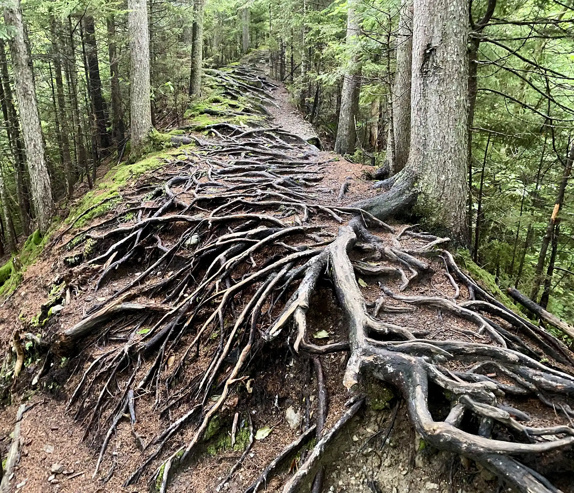
Long Trail South and Haselton Loop
From Barnes Camp, take the Long Trail South, across the boardwalk, to the road crossing at Route 108 (0.5 mi.) Cross the road to continue on the Long Trail South and begin a continuous climb up Mount Mansfield’s northern ridge. Come to the junction of the Taft Lodge spur trail, Profanity Trail, and Hellbrook Cutoff…
-
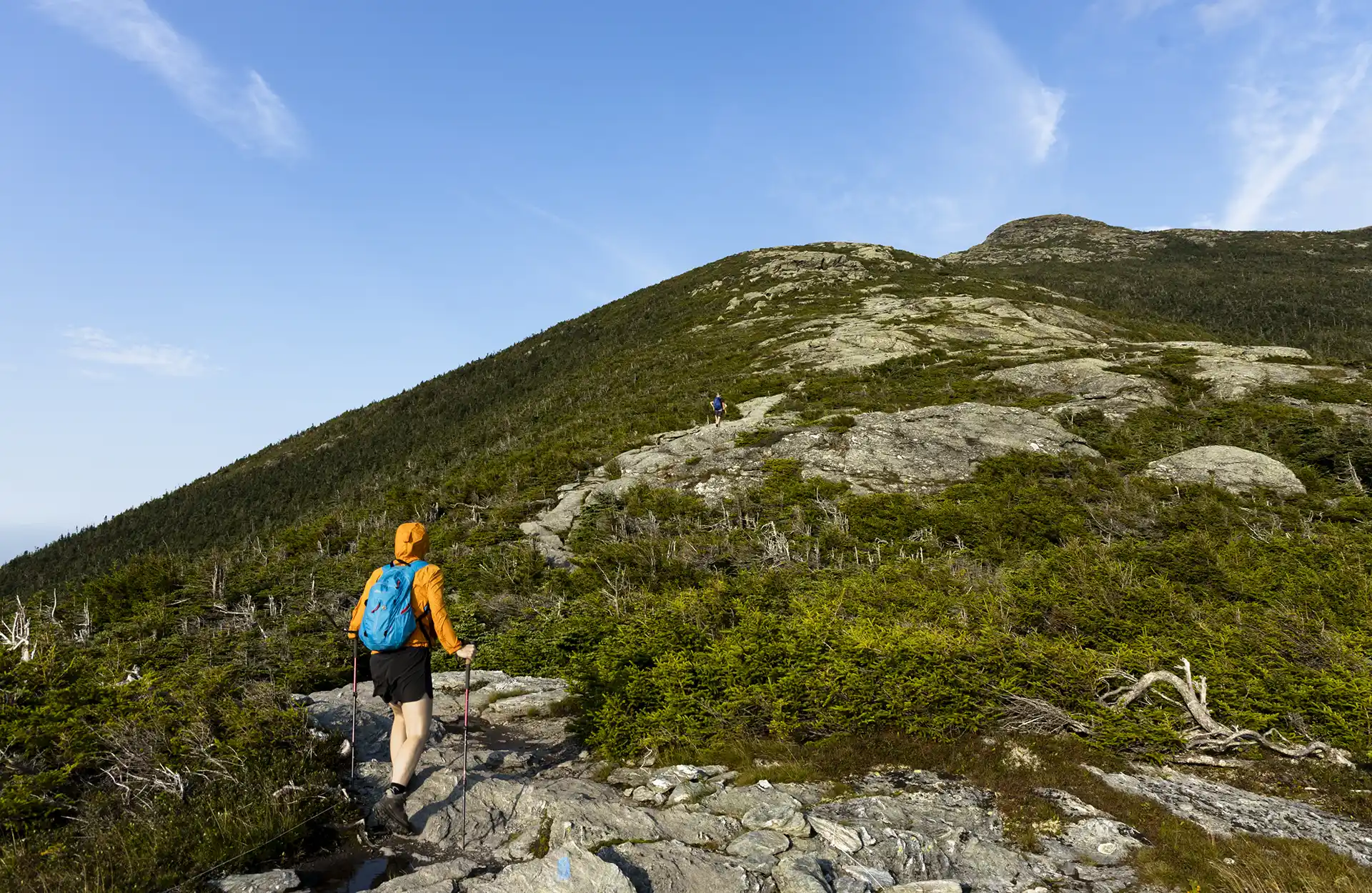
Halfway House and Sunset Ridge Loop
From Underhill State Park parking area, walk along the Park Road Trail for about one mile. Take a right onto CCC Road for 0.2 mi. (1.1 mi.).Turn left onto Halfway House Trail for 0.9 mi.(2.0 mi.). At intersection with Canyon Trail continue on Halfway House for 0.3 mi. until reaching the Long Trail (2.3 mi.).…
-
Gondola to Cliff Trail
There are multiple ways up to the summit of Mt. Mansfield from multiple trailheads. This description involves a paid gondola ride, operated by Stowe Mountain Resort, followed by a short but difficult hike to the summit. Stowe Gondola SkyRide is owned and operated by Vail Resorts and Stowe Mountain Resort. The Gondola runs seasonally from…