Hike Feature: Backpacking

  • Killington Summit via Sherburne Pass Trail

    Killington Summit via Sherburne Pass Trail

    For a longer trip to the top of Vermont’s second-highest peak, take the Sherburne Pass Trail south from the parking lot at Rt 4. Pass Pico Camp (2.7 mi) and continue another 0.4 mi to an intersection with the Long Trail at Jungle Junction (3.1 mi). Follow the LT South as it gradually climbs for 2.3 miles to Cooper Lodge, the highest shelter on the Long Trail at 3,900’ (5.4 mi).

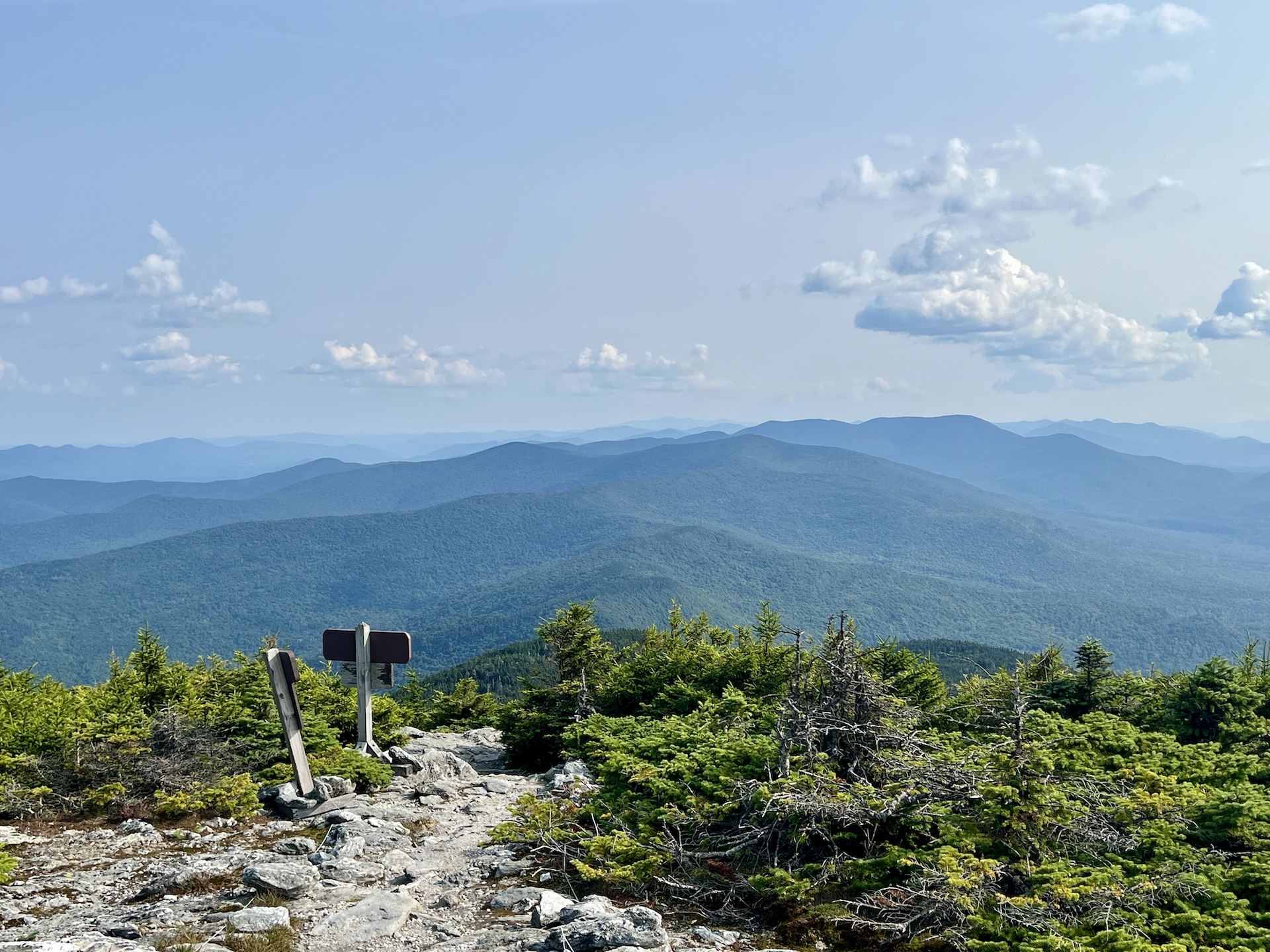
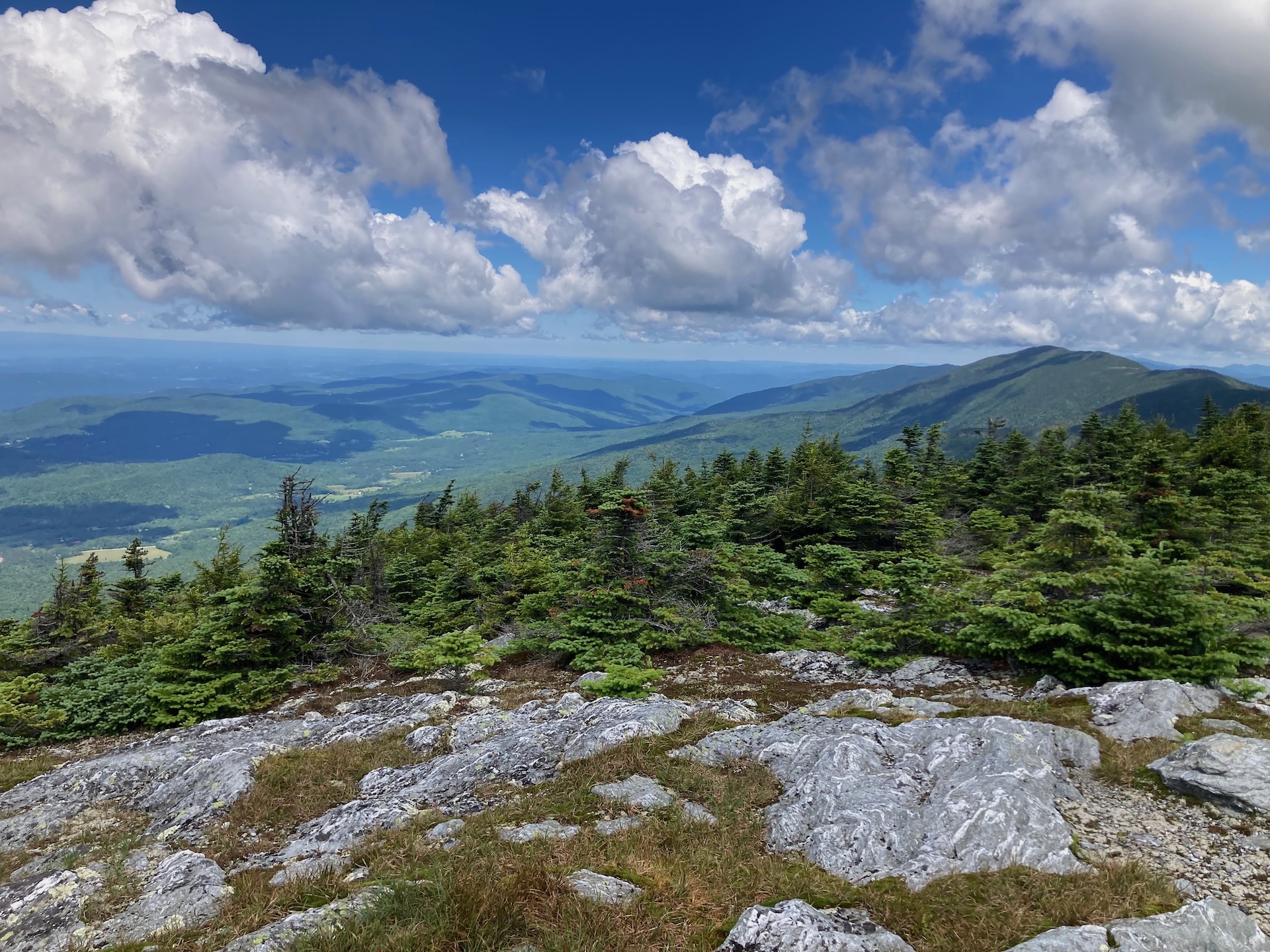
    From Cooper Lodge, continue on the LT 0.2 mi to the 0.2 mi Killington Spur to climb steeply to the summit (5.8 mi.). This final spur trail is the hardest part of the whole hike, but leads to an open summit with 360-degree views so the reward is substantial! Return the way you came for 11.6 miles 

  • Mt. Abraham via the Long Trail

    Mt. Abraham via the Long Trail

    From the Lincoln Gap trailhead, hike north on the Long Trail for 1.7 miles to Battell Shelter. Continue 0.9 miles on Long Trail North (2.6 mi). This section north of the shelter includes a few rocky scrambles before emerging above tree line and reaching the Mount Abraham summit at 4,006’. Mt. Abe is one of the five 4,000-foot peaks in Vermont, and from the summit there are views of the Champlain Valley and Adirondack Mountains. The summit is also home to a small amount of rare and fragile alpine vegetation. Please take care to walk only on rock, as the plants are easily permanently damaged by foot traffic. To return, head back down the Long Trail going south for 2.6 mi. (5.2 mi).  
     

  • Monroe Skyline

    Monroe Skyline

    This classic section of the Long Trail, the Monroe Skyline day hike, requires two cars and a drop-off at one end of the hike. It can be hiked in either direction but this description goes north to south. This hike summits two of Vermont’s five 4,000-foot peaks (Mt. Abraham and Mt. Ellen). Allow all day for this hike, or stay overnight around the halfway point at Glen Ellen Lodge. 

    From the Appalachian Gap parking lot on Route 17, cross Route 17 to begin on Long Trail South. Begin climbing up General Stark Mountain, over rock ledges, some with rebar ladders. This section of trail may be challenging for pets. Pass the Mad River Glen Sunnyside Chairlift station, and after 1.8 steep miles, reach Theron Dean Shelter, with a unique trail through a cave. Continue past the shelter for 0.6 mi. until reaching Stark’s Nest at 3,644’ (2.4 mi). From here, most of the elevation change is more gradual as you continue along the ridgeline. Reach General Stark Mountain 3,662’ (3.0 mi). Continue straight on the Long Trail, passing the summits of Mt. Ellen (5.2 mi), Castlerock (6.8 mi), Lincoln Peak (8.1 mi), and finally Mt. Abraham (8.9 mi.), with its open, alpine summit. Begin to descend, scrambling in places, and pass Battell Shelter on the left at (9.7 mi.), before reaching Lincoln Gap and your second car in the parking lot at 11.5 mi. 

    This portion of the Long Trail, from Lincoln Gap to the Winooski River, is named the Monroe Skyline in honor of Prof. Will S. Monroe, who led the effort to build this section of trail in the 1910s.

  • Section Hike: Camel’s Hump to Route 108

    Section Hike: Camel’s Hump to Route 108

    This challenging, 35-mile itinerary traverses some of the most iconic summits of the Long Trail, Camel’s Hump and Mount Mansfield, and crosses the Winooski River Valley. With 10,000 feet of elevation gain, it offers amazing 360-degree views of the Long Trail, the White Mountains in New Hampshire, Lake Champlain, and the Adirondacks in New York. Below is one option.

    • Day 1: Forest City Trail to Montclair Glen Lodge, 1.4 miles. (Can combine with Day Two for a four-day trip)
    • Alternate Day 1: Monroe Trail to Hump Brook Tenting Area, 1.3 miles. (Can combine with Day Two for a four-day trip)
    • Day 2: Montclair Glen Lodge to Bamforth Ridge Shelter, 6 miles; summit Camel’s Hump
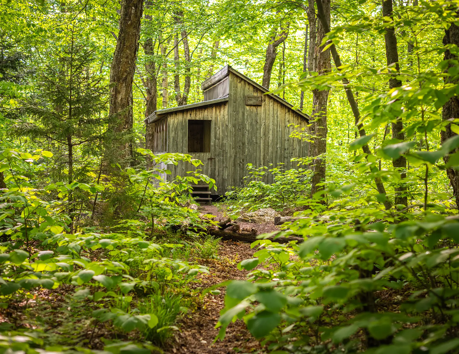
    • Day 3: Bamforth Ridge Shelter to Buchanan Shelter, 12 miles; cross Winooski River
    • Day 4: Buchanan Shelter to Butler Lodge, 11 miles
    • Day 5: Butler Lodge to Route 108, 6 miles; summit Mansfield
  • Section Hike: Southern Terminus to Route 9

    Section Hike: Southern Terminus to Route 9

    This two or three-day, one-to-two-night itinerary is a great way to get some southern Long Trail miles. Choose either the Pine Cobble Approach Trail or the Appalachian Trail to reach the Southern Terminus. You’ll have around 4,000 feet of elevation gain over 17-18 miles, along with a steep descent down to Route 9. It can also be hiked southbound, or condensed into two days.

    • Day 1: Pine Cobble Approach Trail or Appalachian Trail from North Adams to Seth Warner Shelter, 8 miles
    • Day 2: Seth Warner to Congdon Shelter, 4.8 miles
    • Day 3: Congdon Shelter to Route 9: 4.2 miles
  • Section Hike: Jay Pass (Route 242) to Northern Terminus

    Section Hike: Jay Pass (Route 242) to Northern Terminus

    Complete the Northern Terminus with a two-day, one-night hike from Jay Pass. For extra miles, this hike could also be done from Route 118, Hazen’s Notch.

    • Day 1: Jay Pass to Shooting Star Shelter, 7.6 miles
    • Day 2: Shooting Star to Northern Terminus, 4.4 miles; plus 1.3 mile hike out on Journey’s End Trail
  • Section Hike: Brandon Gap to Route 4

    Section Hike: Brandon Gap to Route 4

    This four-day, three-night, intermediate itinerary can be followed either north or south in Central Vermont, and could be modified to a 2-night trip for a more experienced backpacker. This is a great route for those who are looking to test their backcountry set up for multiple nights without too much mileage or elevation gain. It’s 20 miles total, with about 3,000 feet of total elevation gain, offering a remote feeling and views of Chittenden Reservoir.

    • Day One: Brandon Gap to Sunrise Shelter, 2.6 miles
    • Day Two: Sunrise Shelter to David Logan Shelter, 5.7 miles
    • Day Three: David Logan Shelter to Rolston Rest Shelter, 7 miles
    • Day Four: Rolston Rest Shelter to Route 4, 4.9 miles
  • Battell Trail to Battell Shelter

    Battell Trail to Battell Shelter

    From Elder Hill Rd. parking lot, climb steadily through a sugarbush for almost a mile. After crossing two small streams and an old woods road (1.0 mi.), and then another woods road (1.2 mi.), arrive at the LT (2.0 mi.) just south of Battell Shelter. Take a right onto Long Trail North for 0.1 mi until reaching Battell Shelter (2.1 mi). To return, take Battell Trail back down to parking lot (4.2 mi). 

    Battell Shelter is a popular overnight destination for end-to-end hikers and beginner backpackers alike. It is only about two miles from the nearest trailhead parking. A new, accessible shelter was built at this site in 2025 to expand capacity. Please take care to sleep only in the designated shelters, as the surrounding vegetation is fragile subalpine species and is suffering from overuse. 

    Note: From Battell Shelter, it is a challenging 0.8 miles on Long Trail North to reach the summit of Mount Abraham, one of Vermont’s five 4,000-footers and home to a small area of rare alpine vegetation. If continuing on to the summit, please take care to walk only on the rocks within the designated trail to protect these fragile plant communities.

  • Nebraska Notch to Taylor Lodge

    Nebraska Notch to Taylor Lodge

    This is a good moderate day hike or beginner-friendly overnight trip.

    From Stevensville Rd. Trailhead register, take a right onto Nebraska Notch Trail and follow it for1.5 mi. Nebraska Notch Trail is a gradual climb through the woods and near streams to reach Nebraska Notch. Where Nebraska Notch and the Long Trail intersect, take a right and follow the Long Trail South for 0.3 mi (1.8 mi.). The Long Trail then intersects with Clara Bow Trail, an optional side trail climbing over and under enormous boulders through the notch, with a ladder to aide in negotiating a vertical drop. You can also continue on the Long Trail for 0.4 mi. instead of Clara Bow, both routes reach Taylor Lodge (2.2 mi.).

    Taylor Lodge features scenic views of a beaver pond and lovely streams. The lodge provides bunks for 6 to 12 people, along with comfortable bench tables outside. To return either take Clara Bow from the Lodge or Long Trail North (2.6 mi.) back to Nebraska Notch Trail then end at Stevensville Rd. (4.4 mi.).

  • Sterling Pond

    Sterling Pond

    Sterling Pond Trail is short but steep two-mile round-trip hike on the eastern side of Smugglers’ Notch. The excursion can be turned into a half-day or all-day hike by adding connecting trails, including stretches of Vermont’s Long Trail. One of the Long Trail shelters, Sterling Pond Shelter, faces away from the water and its usual prevailing winds. The trail gains 1,066’ just over one mile, making it a moderate trail, but a good day hike option in summer, fall, and winter (note additional road walk needed).

    From the Sterling Pond parking lot, carefully cross Rt. 108 to get to the trailhead. The Sterling Pond Trail is on the right and begins with a steep ascent on stone steps. Follow blue blazes for 1.1 mile to the intersection with the Long Trail. Turn left, heading north on the Long Trail (blazed in white) and continue to Sterling Pond, an additional .01 of a mile (1.1 mi). To get to Sterling Pond Shelter continue straight on the Long Trail around Sterling Pond for 0.3 mi (1.4 mi). To return to Rt. 108 as an out-and-back take the Long Trail back to Sterling Pond Trail for a trip total of 2.8 mi.

    For a loop option, continue past Sterling Pond shelter on the Long Trail to the intersection with Elephants Head Trail. This trail is 0.7 miles and follows the rocky shore of the pond. At the Elephants Head Trail and Long Trail intersection, turn right and follow Long Trail North for 0.3 mi. to the Sterling Pond Trail. At Sterling Pond Trail intersection take a left to return to the parking lot within another 1.1 mi. This loop is 3.5 mi. total.

    Note this is a busy trail system, especially on weekends. Consider visiting outside of peak periods.