
Hike Feature: Families
-
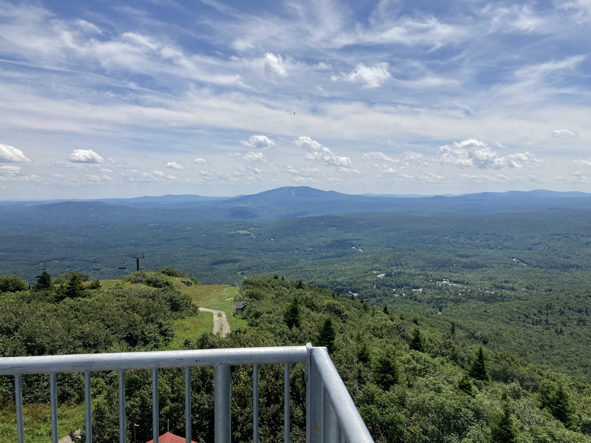
Bromley Mountain
From the Long Trail/Appalachian trail parking lot, follow white-blazed LT/AT north for 2.0 mi., crossing Bromley Brook and passing Bromley Shelter. Continue for another 1.0 mi until making it to Bromley Mountain summit at 3,260’ (3.0 mi). An observation tower sits on the summit and offers sweeping views of Killington, Okemo, Stratton, and Glastenbury mountains,…
-
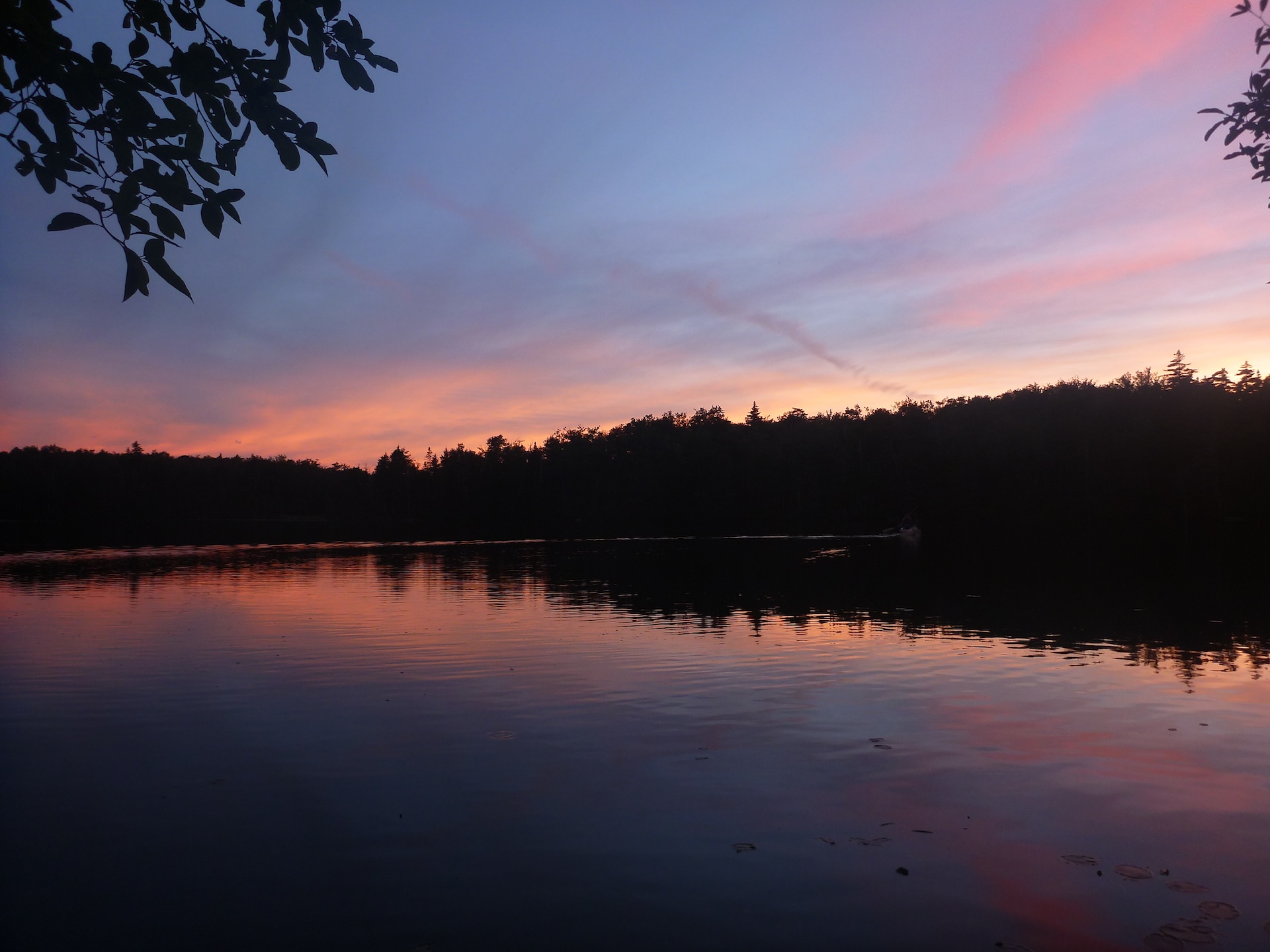
Branch Pond
From the west side of the Branch Pond parking lot, follow the boat launch trail 0.25 mi downhill to Branch Pond. The boat launch is small but offers a lovely view of the pond, as well as the chance to take a dip. A fun option with kids, kayaks, or both! Fishing is allowed with…
-
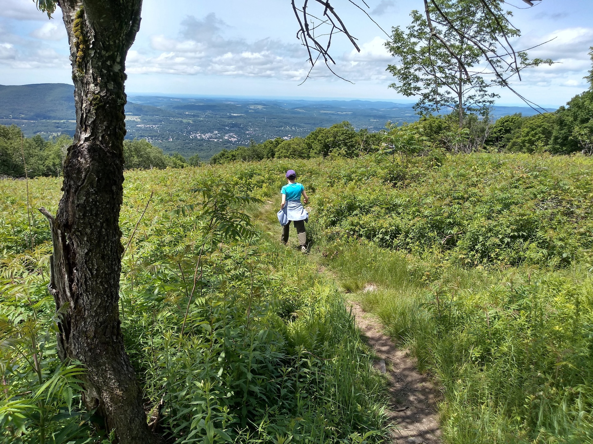
Harmon Hill via Long Trail South
From the large parking lot on Route 9, carefully cross the road to continue on the Long Trail/Appalachian Trail South. Climb steeply up a stone staircase, which has been restored by the Long Trail Patrol crew in recent years. After 0.6 mi., the ascent becomes more gradual before cresting Harmon Hill (1.8 mi.). This hill is maintained as early successional…
-
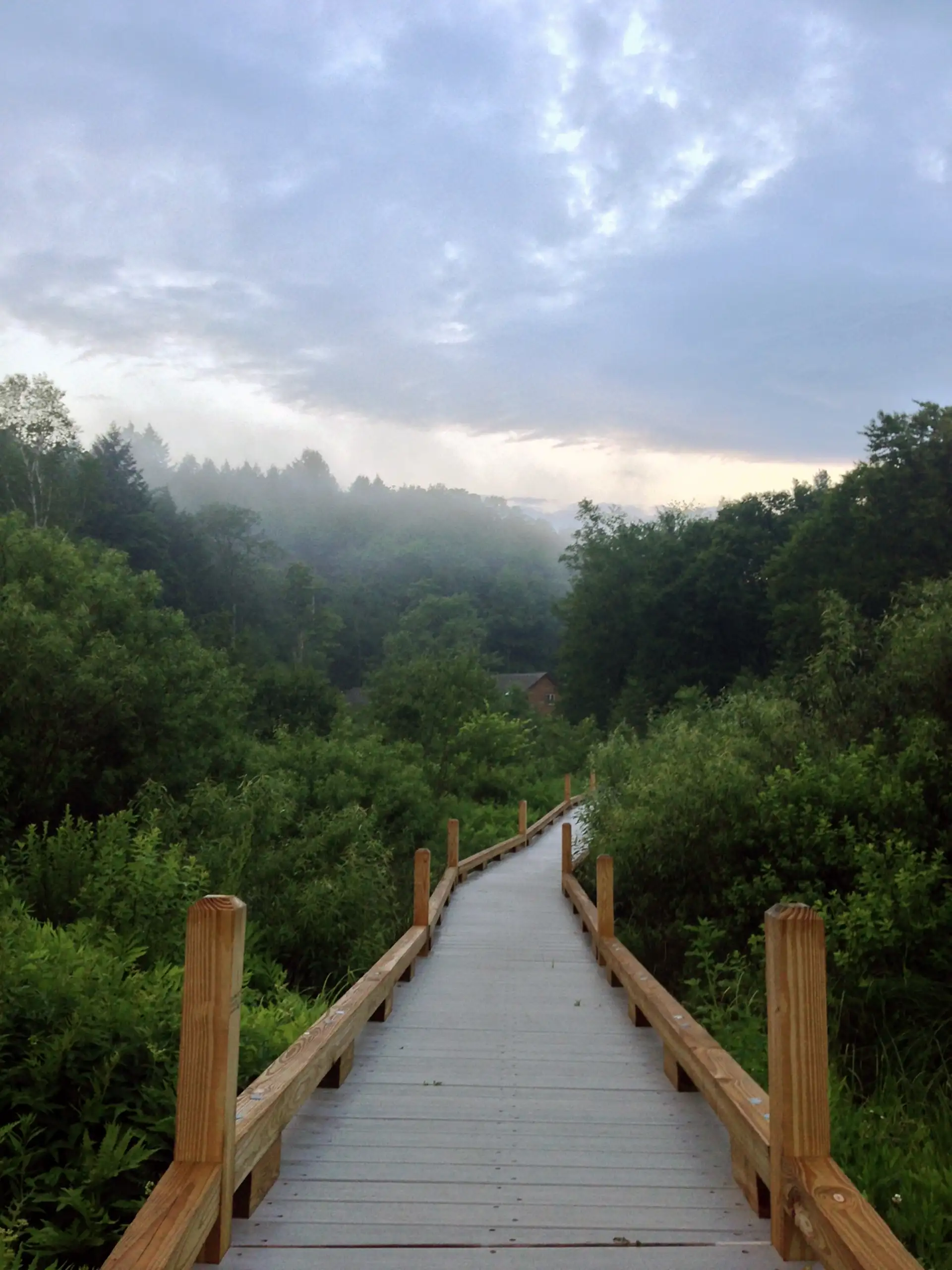
Thundering Falls Boardwalk
From the River Road parking area follow a 900 foot long, 3-5 foot-wide, boardwalk, and stone dust path. This trail goes along a portion of the Appalachian Trail (AT) to Thundering Falls. The boardwalk crosses over the Ottauquechee River and through the open Ottauquechee River floodplain. The trail then ascends to a viewing platform overlooking…
-

Thundering Falls to Kent Pond
This hike follows the Appalachian Trail over the Thundering Falls Boardwalk, past the impressive Thundering Falls. Continue past the waterfall over moderate terrain to the edge of Kent Pond. Follow the trail as along the edge of the pond, ending at Rt. 100 (2.4 mi). Return on the Appalachian Trail to River Rd. Thundering Falls…
-
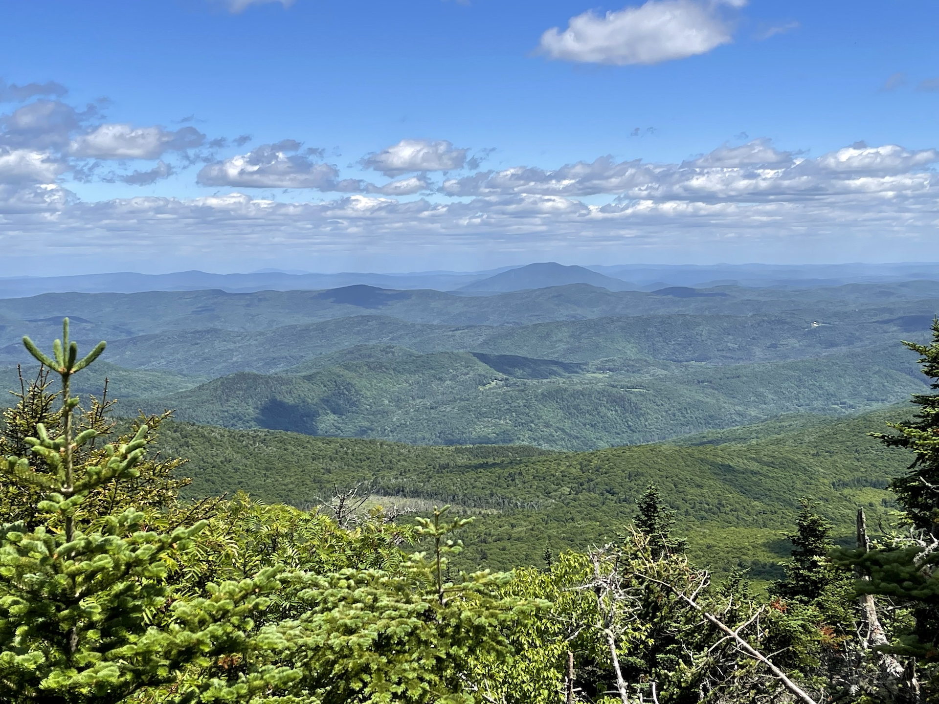
Shrewsbury Peak Trail
Shrewsbury Peak is a wonderful day hike option that may have fewer crowds than nearby Killington and Pico Peak. From the Shrewsbury Trail parking lot on North Shrewsbury CCC Road, follow the Shrewsbury Peak Trail past Russell Hill Shelter and gradually then steeply climb to the summit of Shrewsbury Peak (3720’) for 1.8 mi. At…
-
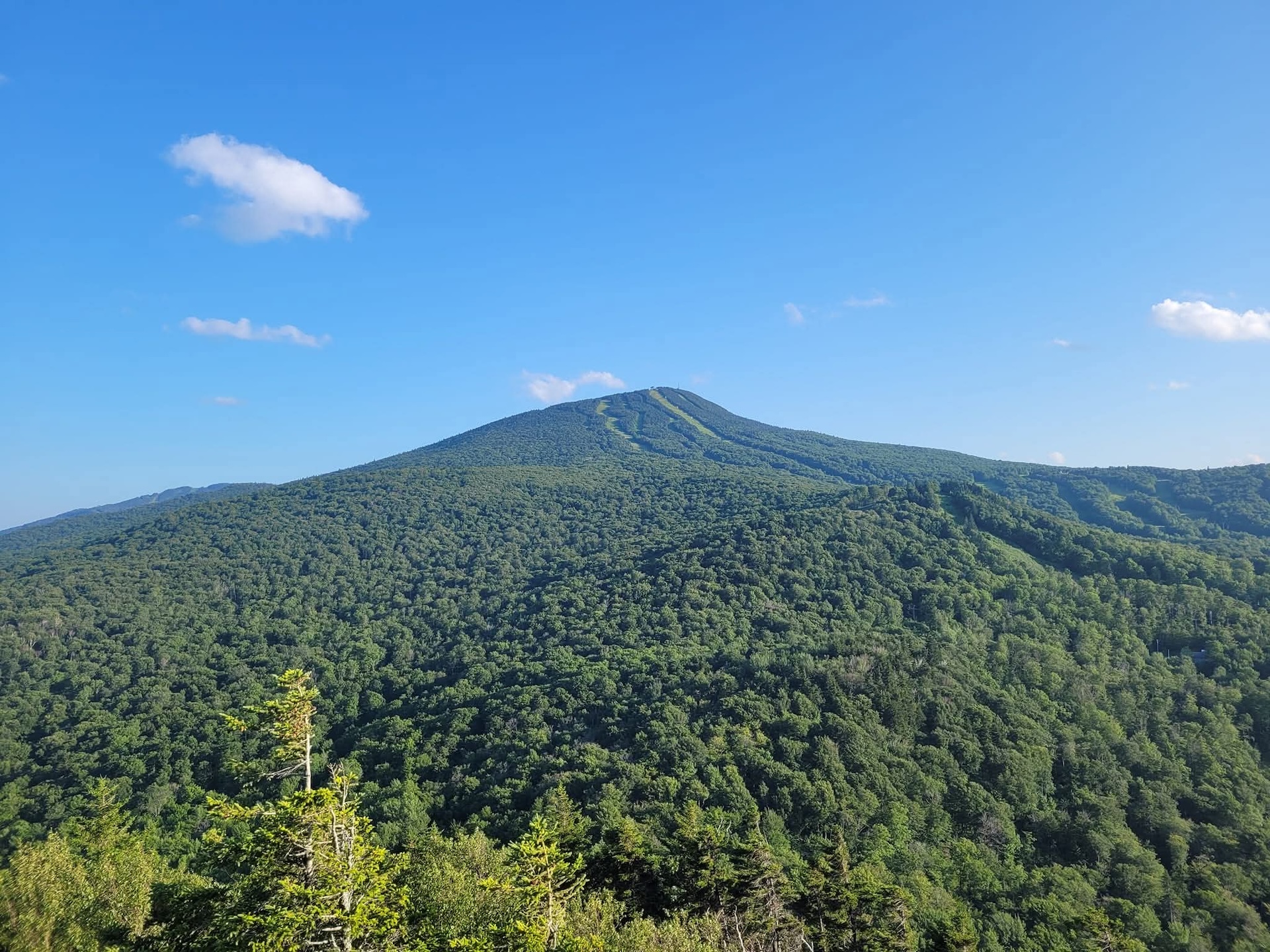
Deer Leap Trail
The Deer Leap Trail is a relatively short but rugged hike to the top of a rock outcrop with impressive views of the Coolidge Range and Sherburne Pass. The trail starts on the north side of Rt. 4, at the east end of the Inn at Long Trail parking lot. Note that it is suggested to park across Rt. 4 as there is more space available. Be very cautious crossing the road…
-
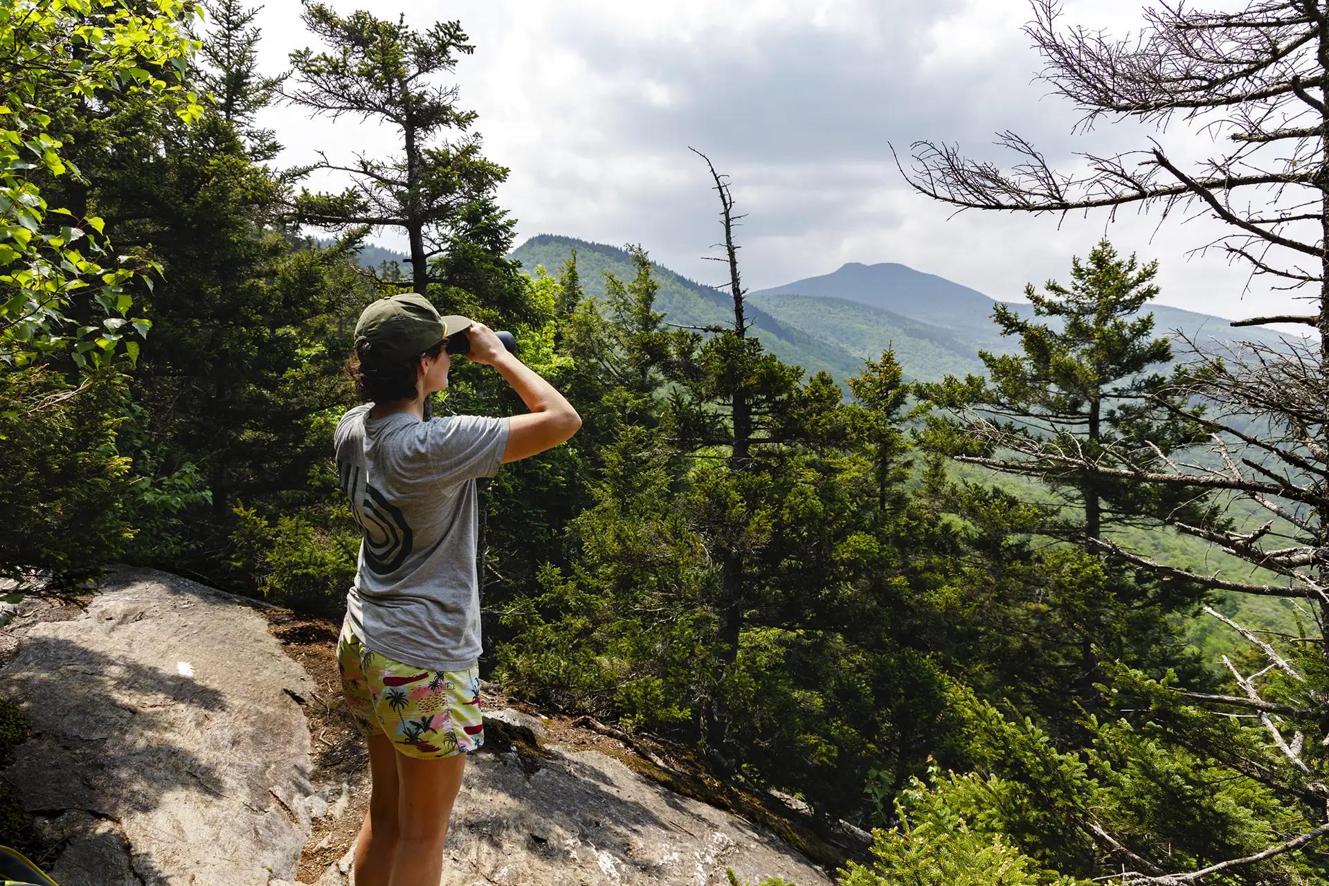
Bamforth Ridge Shelter
From the parking area, hike south on the Long Trail. Cross a bridge over Gleason Brook (0.6 mi), then on to Duxbury Window, a beautiful lookout over the Winooski Valley with a bench (1.6 mi). Note that most of the hike is a gradual incline, but the trail is fairly steep for a short stretch just before the Window. Continue past the lookout…
-
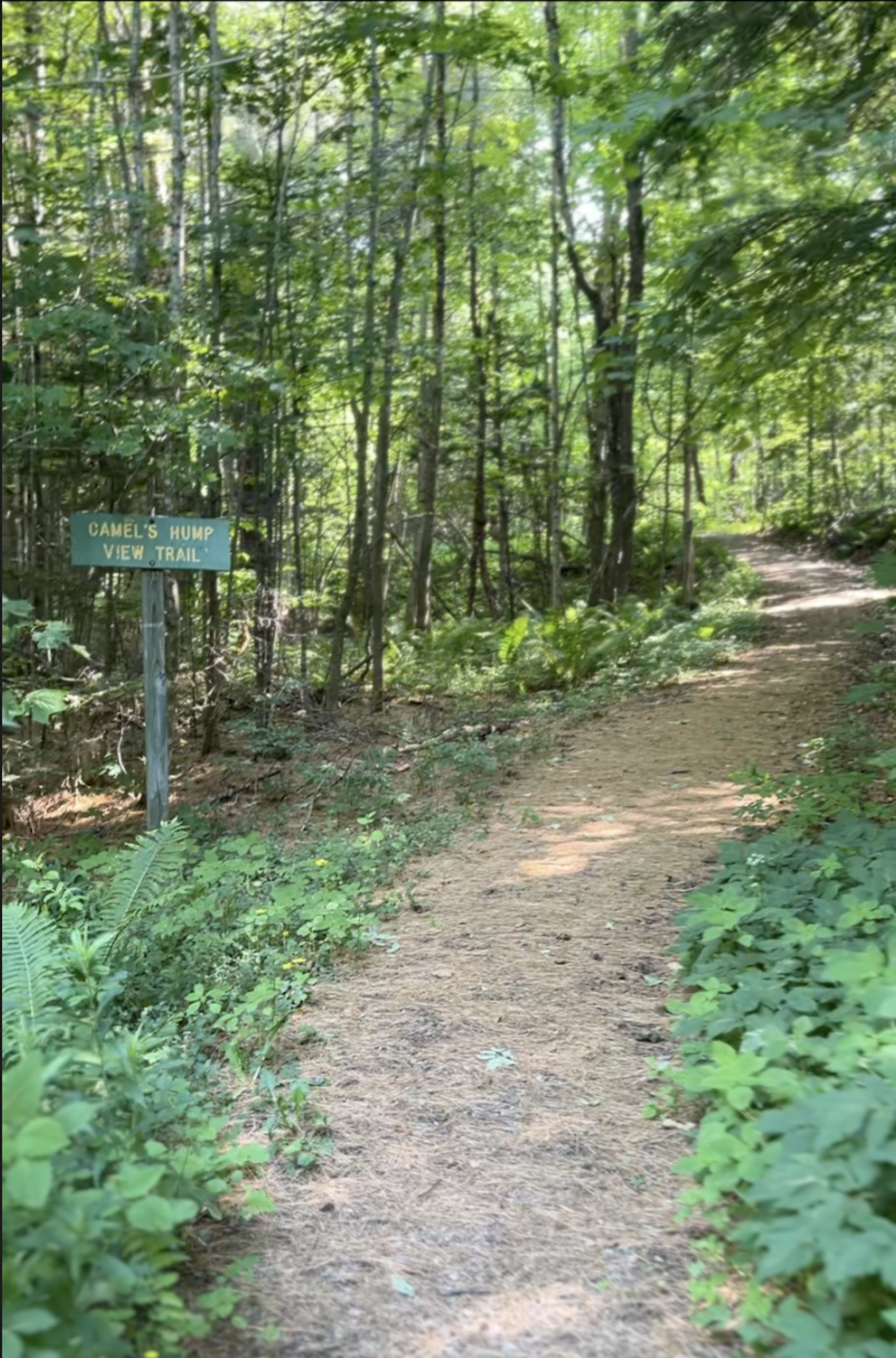
Camel’s Hump View Trail
This lollipop-style loop trail features multiple gorgeous views of Camel’s Hump, which are especially good as the leaves begin to fall in autumn. The trail also features several benches, which offer nice rest spots. From the sign at the parking lot, head out on the main path. Soon you will come to a split where…
-
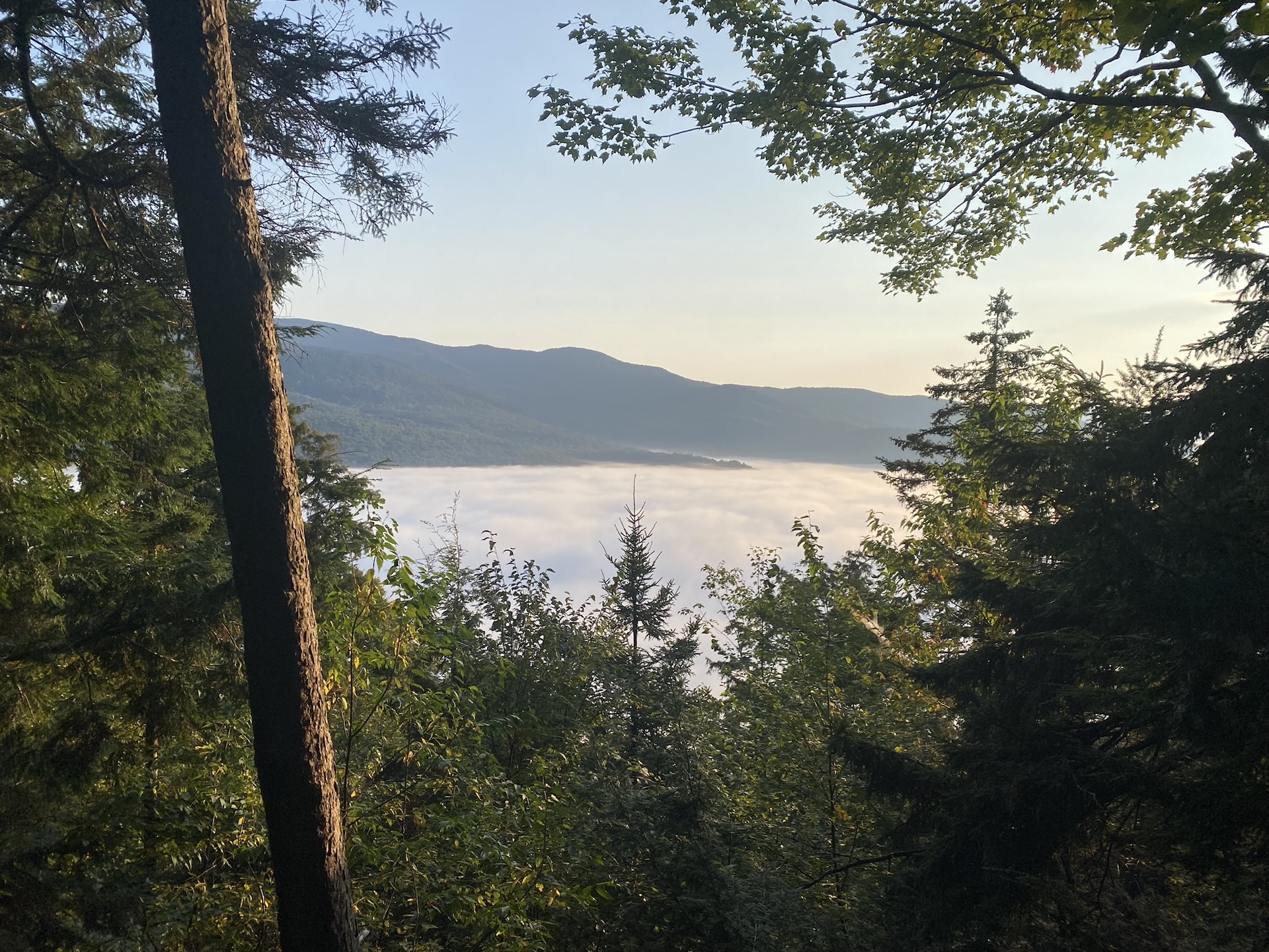
Duxbury Window Trail
A great option on a clear day! From the parking area on Duxbury Road, hike south on the Long Trail. Cross a bridge over Gleason Brook (0.6 mi), then on to a beautiful lookout over the Winooski Valley with a bench (1.6 mi). Note: Most of the hike is a gradual incline, but the trail is fairly steep for a short…