Find a Hike
Curated Hike Recommendations For Everyone
Use the filters below to find day hikes and overnight itineraries for you.
-
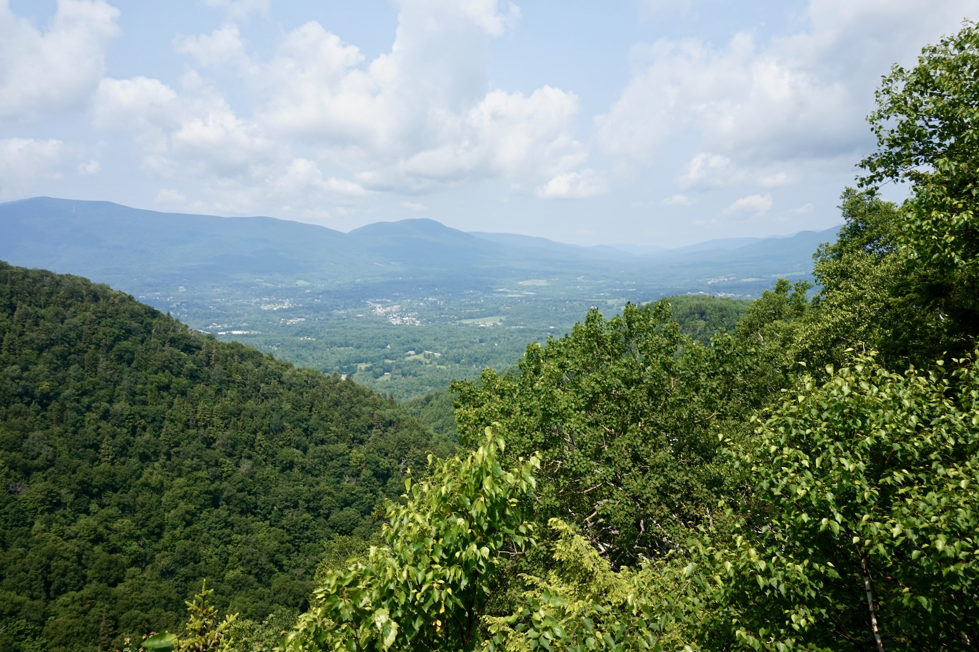
Prospect Rock (Manchester)
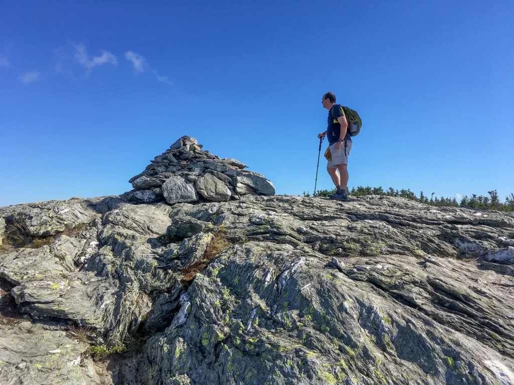
From the parking area follow Old Rootville Rd., a wide gravel path that is not open to vehicles, for 1.8 miles to an intersection with the Long Trail. Continue 50 yards south to Prospect Rock, a rocky outcrop on the right (2,060′). Enjoy lovely views of Manchester, the Battenkill River Valley, Mount Equinox, and Dorset…
-

Section Hike: Brandon Gap to Route 4
This four-day, three-night, intermediate itinerary can be followed either north or south in Central Vermont, and could be modified to a 2-night trip for a more experienced backpacker. This is a great route for those who are looking to test their backcountry set up for multiple nights without too much mileage or elevation gain. It’s…
-
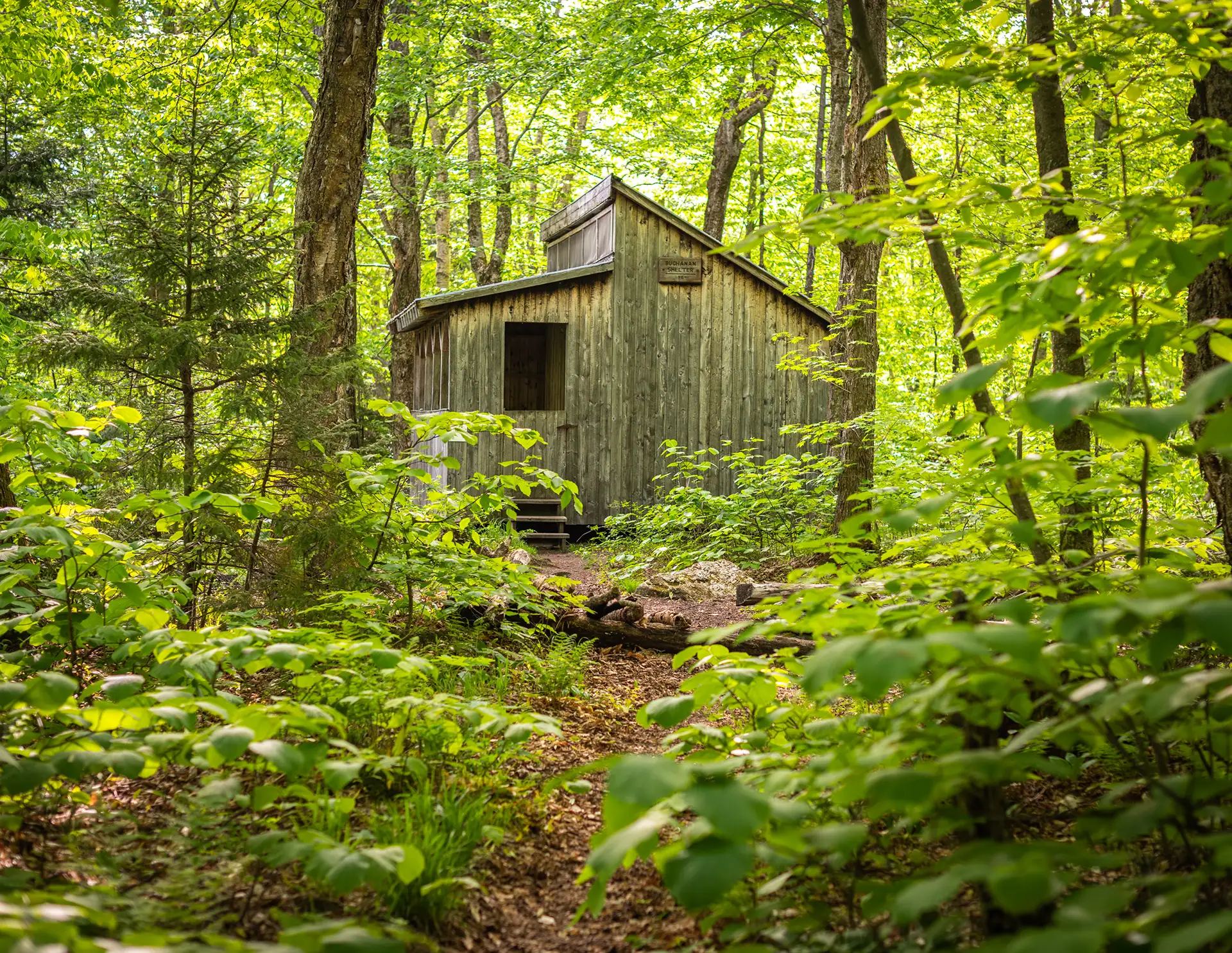
Section Hike: Camel’s Hump to Route 108
This challenging, 35-mile itinerary traverses some of the most iconic summits of the Long Trail, Camel’s Hump and Mount Mansfield, and crosses the Winooski River Valley. With 10,000 feet of elevation gain, it offers amazing 360-degree views of the Long Trail, the White Mountains in New Hampshire, Lake Champlain, and the Adirondacks in New York.…
-
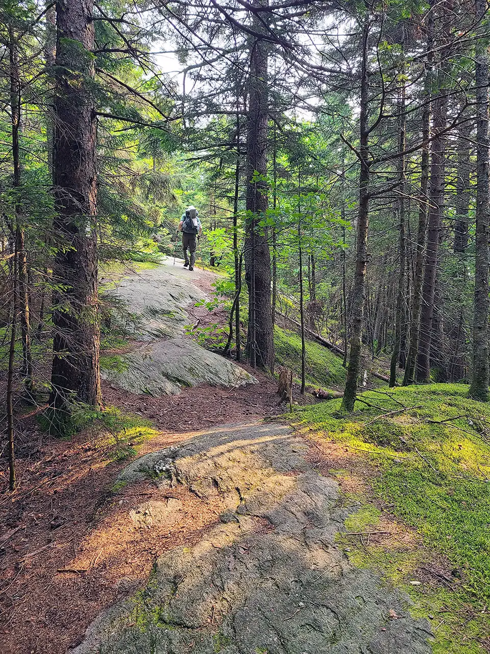
Section Hike: Jay Pass (Route 242) to Northern Terminus
Complete the Northern Terminus with a two-day, one-night hike from Jay Pass. For extra miles, this hike could also be done from Route 118, Hazen’s Notch.
-
Section Hike: Southern Terminus to Route 9
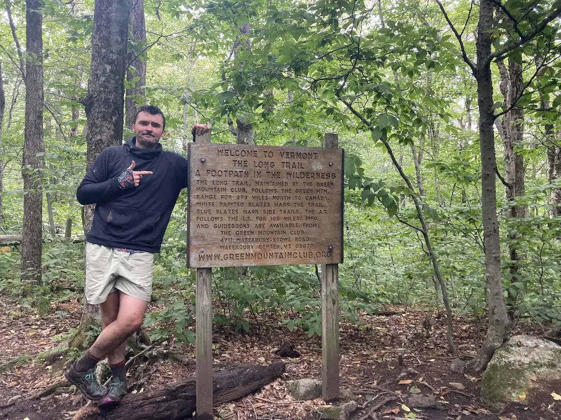
This two or three-day, one-to-two-night itinerary is a great way to get some southern Long Trail miles. Choose either the Pine Cobble Approach Trail or the Appalachian Trail to reach the Southern Terminus. You’ll have around 4,000 feet of elevation gain over 17-18 miles, along with a steep descent down to Route 9. It can…
-
Shrewsbury Peak Trail
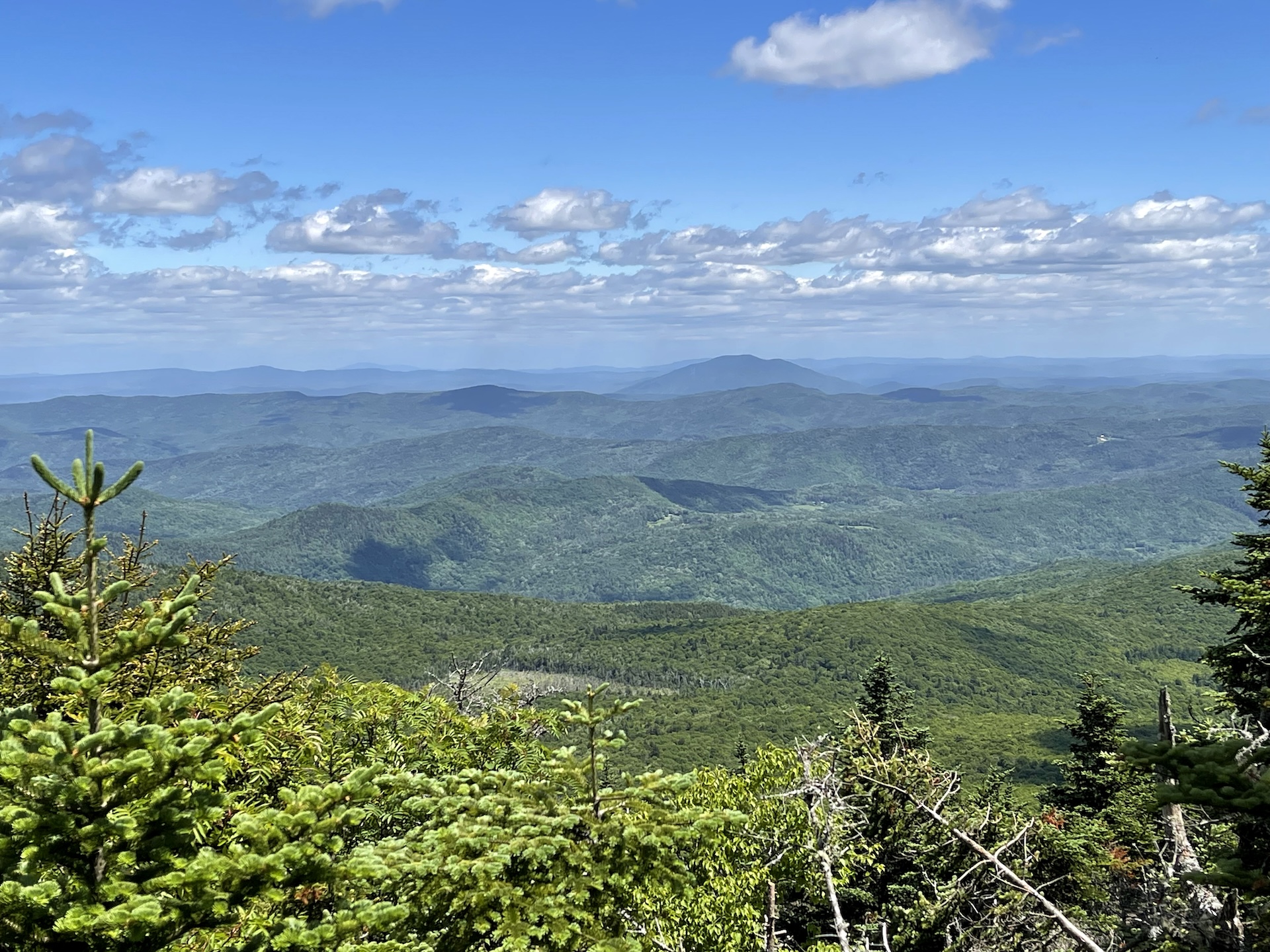
Shrewsbury Peak is a wonderful day hike option that may have fewer crowds than nearby Killington and Pico Peak. From the Shrewsbury Trail parking lot on North Shrewsbury CCC Road, follow the Shrewsbury Peak Trail past Russell Hill Shelter and gradually then steeply climb to the summit of Shrewsbury Peak (3720’) for 1.8 mi. At…
-
Smugglers’ Notch Boardwalk
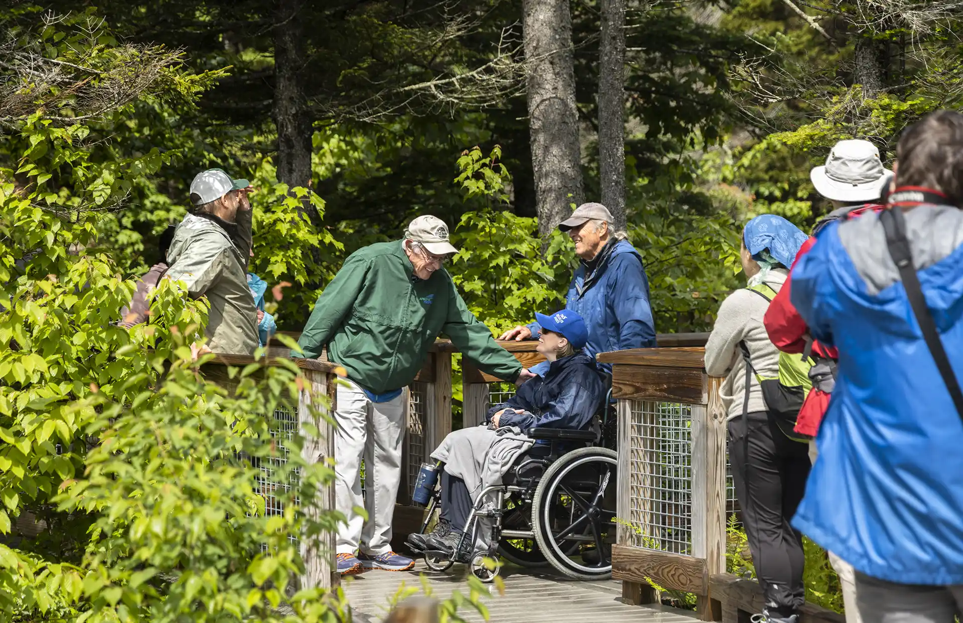
The Smugglers’ Notch Boardwalk, part of the Long Trail, built by GMC crews in 2010, is an accessible trail through wetlands, by a beaver dam, and with beautiful views of Smugglers’ Notch. Park in the Barnes Camp parking lot or the Stowe Resort parking lot across the street. The boardwalk starts at the western end…
-

Stark Mountain Trail
Start at the Mad River Glen Single Chair loading station. The Stark Mountain Trail follows a wide service road for 1.5 mi. winding up the ski area. At the intersection with Sunnyside Trail take a right to continue for 0.9 mi. (2.4 mi.). At the intersection with the Long Trail take a right onto Long Trail North for 0.1 mi until reaching the Stark’s Nest overlook at 3,644’ (2.5 mi). To return to Mad River Glen continue back on Long Trail going…
-
Sterling Pond
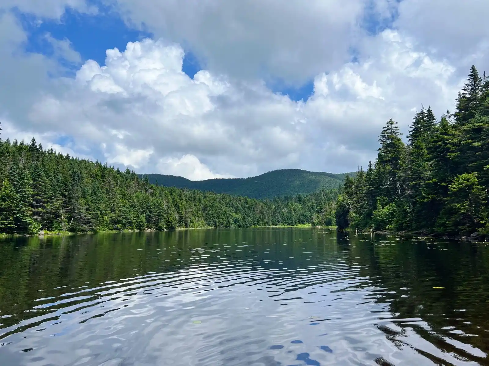
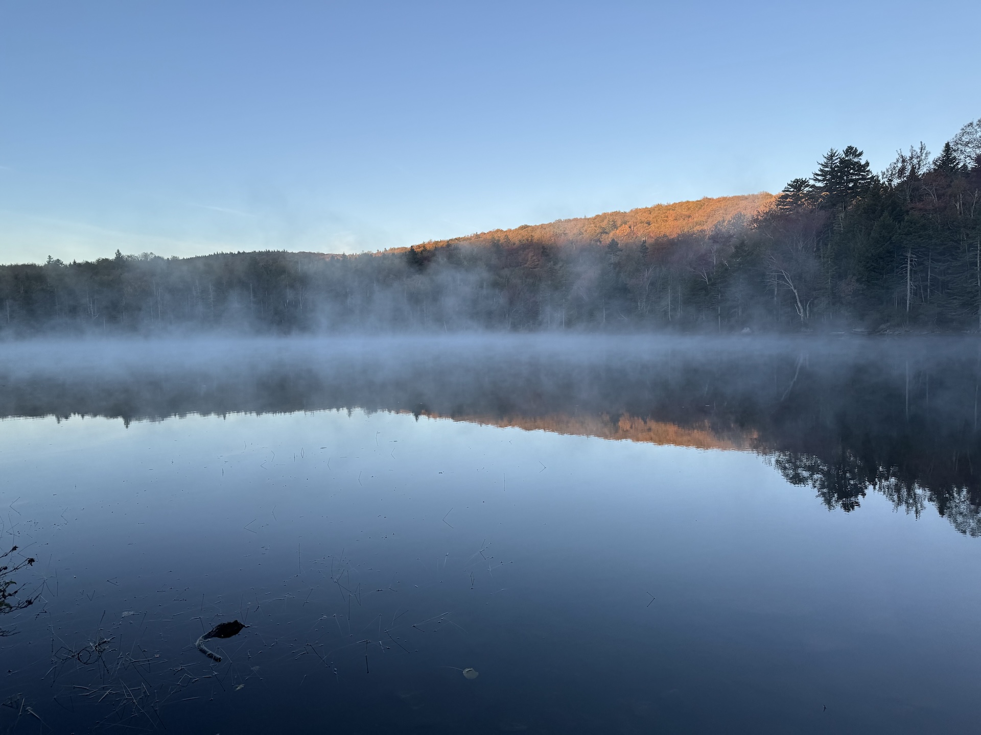
Sterling Pond Trail is short but steep two-mile round-trip hike on the eastern side of Smugglers’ Notch. The excursion can be turned into a half-day or all-day hike by adding connecting trails, including stretches of Vermont’s Long Trail. One of the Long Trail shelters, Sterling Pond Shelter, faces away from the water and its usual…
-
Staff Favorite
Stratton Mountain-Stratton Pond Loop
Note that this loop trail will start/end at two different trailheads roughly 0.9 mi from each other; you can hike on the road to return to your car. Starting from the Long Trail/Appalachian Trail parking lot, following white blazes, head north for 3.8 miles on the LT/AT to the summit of Stratton Mountain at 3,940’. …
Search results come from a curated selection of all GMC-managed trails. GMC manages the Long Trail, its 88 side trails, the entire Appalachian Trail in VT, and 30+ miles of trail in the Northeast Kingdom. Additionally, there are hundreds more hiking trails in the state, in state parks, state forests, town forests, and on private land. Those can be found on TrailFinder, which works directly with land managers to ensure accurate information.
Don’t Forget Your Map
Paper maps make great hiking companions. Cell service is limited and batteries can die. Purchase a guidebook, Long Trail Map or area-specific hiking map produced by the Green Mountain Club, so you know you have the most accurate and up-to-date information in your pocket.


More Hiking Resources


GMC Hike Experts at Your Fingertips
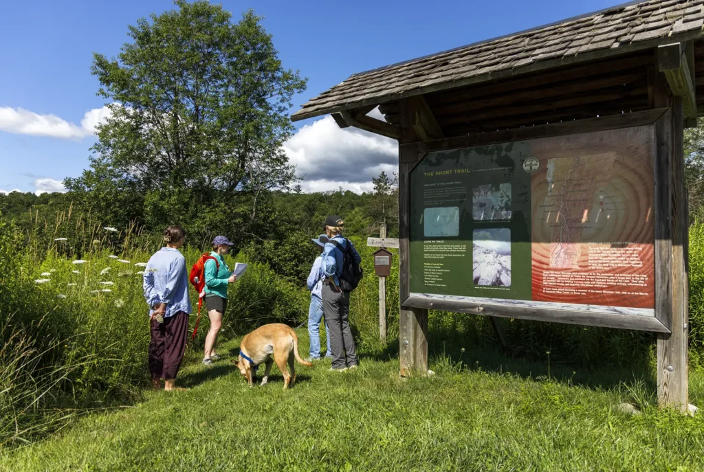
Need more information? Call, email, or visit the GMC Visitor Center to get custom hike planning advice and trail recommendations.