
Find a Hike
Curated Hike Recommendations For Everyone
Use the filters below to find day hikes and overnight itineraries for you.
-
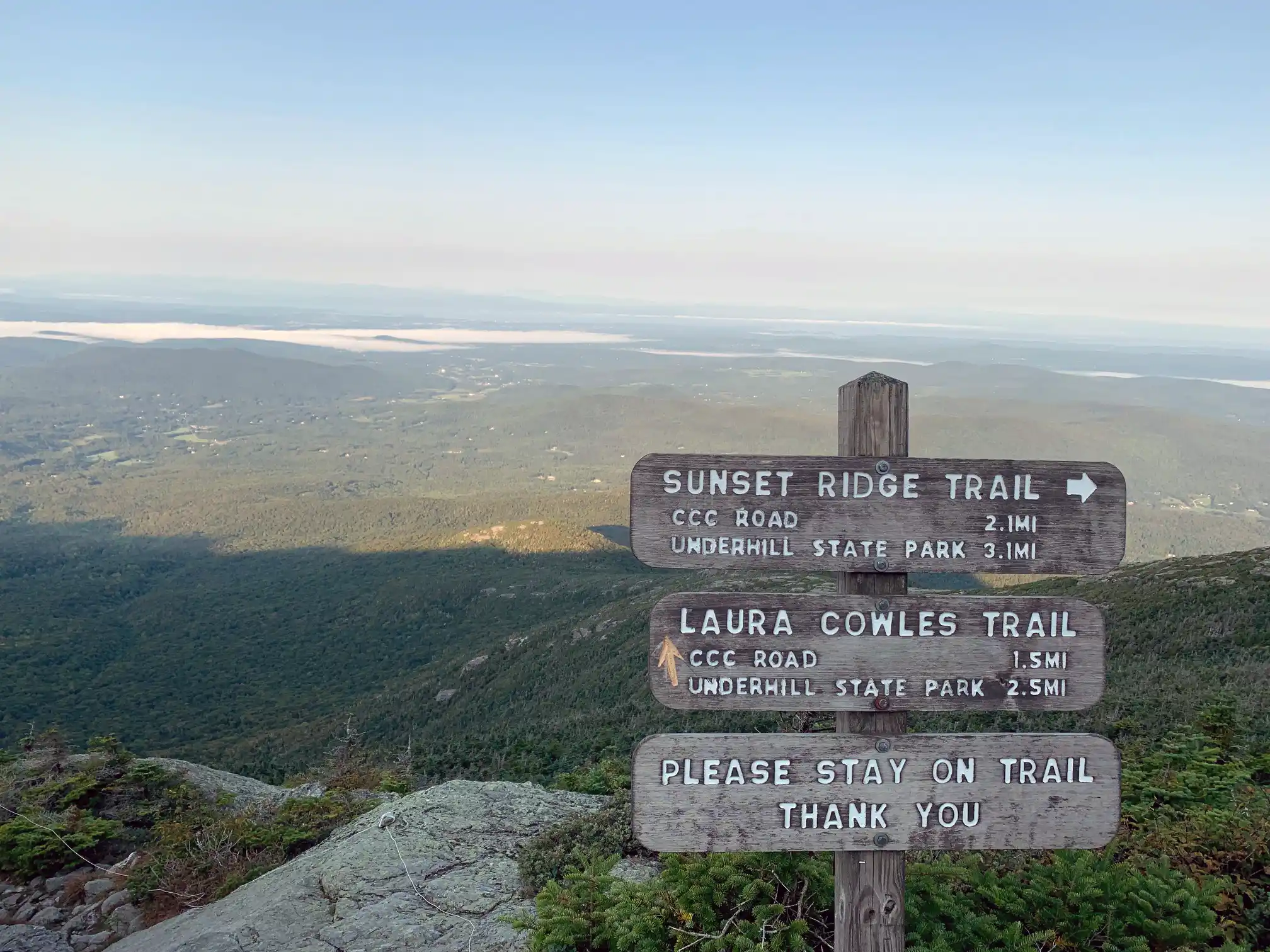
Laura Cowles and Sunset Ridge Loop
From Underhill State Park follow Park Road Trail for 0.9 mi. until intersection with Sunset Ridge Trail and CCC Road Trail (0.9 mi.). Take a left at the intersection, following Sunset Ridge Trail for 0.1 mi (1.0 mi.). Turn right onto Laura Cowles Trail. Follow Laura Cowles for 1.4 mi. (2.4 mi.) until reaching intersection…
-
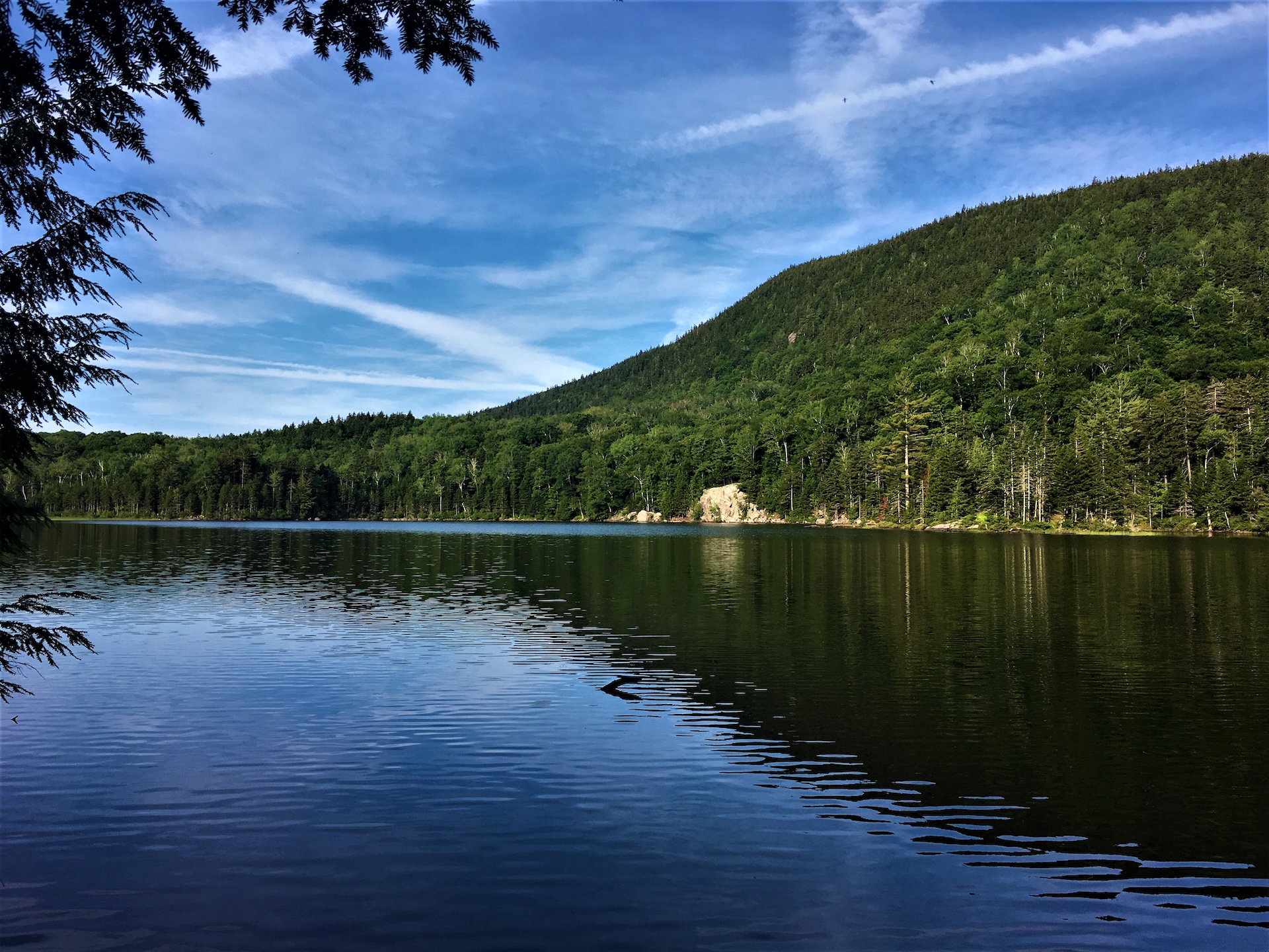
Little Rock Pond
From the Long Trail parking lot on USFS 10, cross the road and head north on the white-blazed Long Trail/Appalachian Trail. The trail follows the length of Little Black Branch Brook, crossing the stream several times as it gradually climbs for 2.2 mi. until reaching the shore of Little Rock Pond and Little Rock Pond…
-

Long Trail South and Haselton Loop
From Barnes Camp, take the Long Trail South, across the boardwalk, to the road crossing at Route 108 (0.5 mi.) Cross the road to continue on the Long Trail South and begin a continuous climb up Mount Mansfield’s northern ridge. Come to the junction of the Taft Lodge spur trail, Profanity Trail, and Hellbrook Cutoff…
-
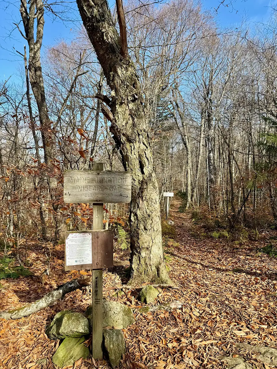
Maine Junction via AT/LT
The Long Trail (LT) and Appalachian Trail (AT), two long distance hiking trails, overlap in Vermont from Massachusetts for roughly 100 miles. The AT splits off from the LT in Killington at what is known as the Maine Junction. Starting at the AT/LT VT Rt. 4 parking lot, cross US-4 (please note that this is a very busy road). Follow Long Trail North for 1.0 mi towards Willard Gap and Maine Junction with the Appalachian Trail. Continue onto the Appalachian…
-

Maple Ridge and Sunset Ridge Loop
Starting at Underhill State Park follow Park Road Trail until its intersection with the Sunset Ridge Trail and CCC Road Trail (0.9 mi.). Take a right at the intersection to follow CCC Road for 1.1 mi. (2.0 mi.). At the intersection of Maple Ridge and Frost Trail, take a left onto Maple Ridge Trail continuing…
-
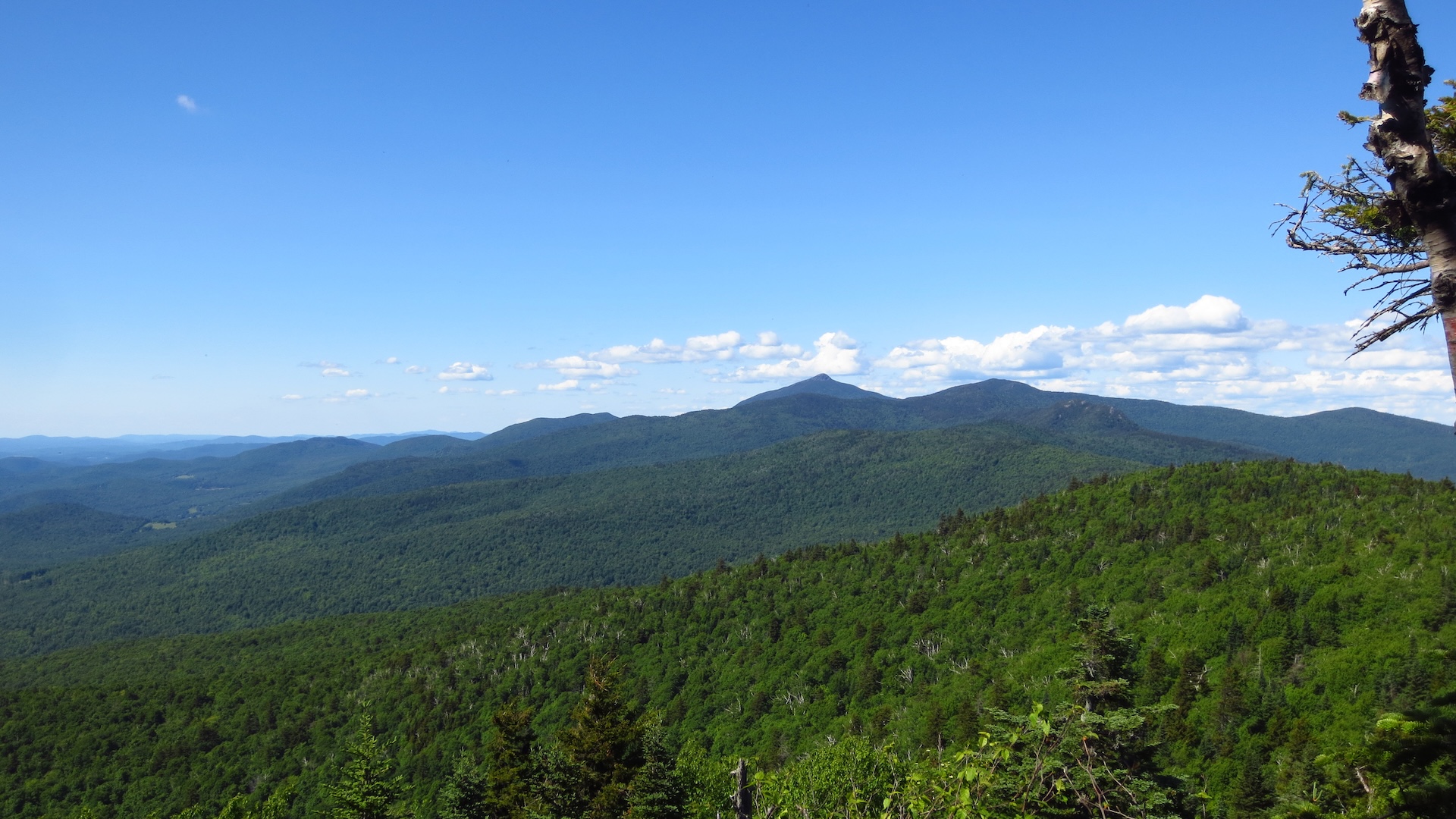
Molly Stark’s Balcony
While short, the route to Molly Stark’s Balcony is a rugged walk on rolling terrain. From the Appalachian Gap parking lot, head north on the Long Trail for 0.4 mi past Mad River Lookout and reaching Baby Stark Mountain. Continue on the Long Trail North for 0.9 mi. over Molly Stark Mountain before a final short descent to the Balcony on the north slope of Molly Stark Mtn (1.3 mi). The Balcony features a…
-
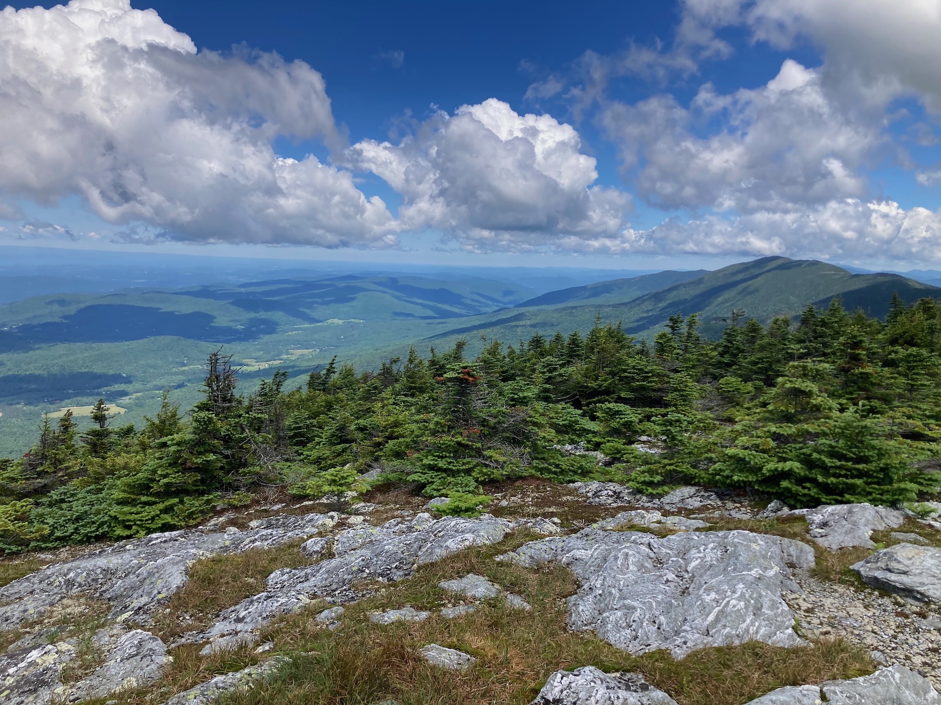
Monroe Skyline
This classic section of the Long Trail, the Monroe Skyline day hike, requires two cars and a drop-off at one end of the hike. It can be hiked in either direction but this description goes north to south. This hike summits two of Vermont’s five 4,000-foot peaks (Mt. Abraham and Mt. Ellen). Allow all day for this hike, or stay…
-
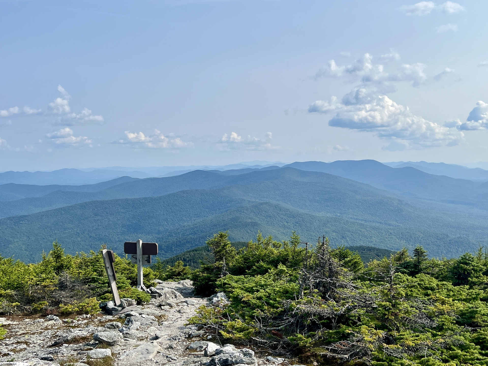
Mt. Abraham via the Long Trail
From the Lincoln Gap trailhead, hike north on the Long Trail for 1.7 miles to Battell Shelter. Continue 0.9 miles on Long Trail North (2.6 mi). This section north of the shelter includes a few rocky scrambles before emerging above tree line and reaching the Mount Abraham summit at 4,006’. Mt. Abe is one of the five 4,000-foot peaks in Vermont, and from the summit there are views of the Champlain Valley…
-
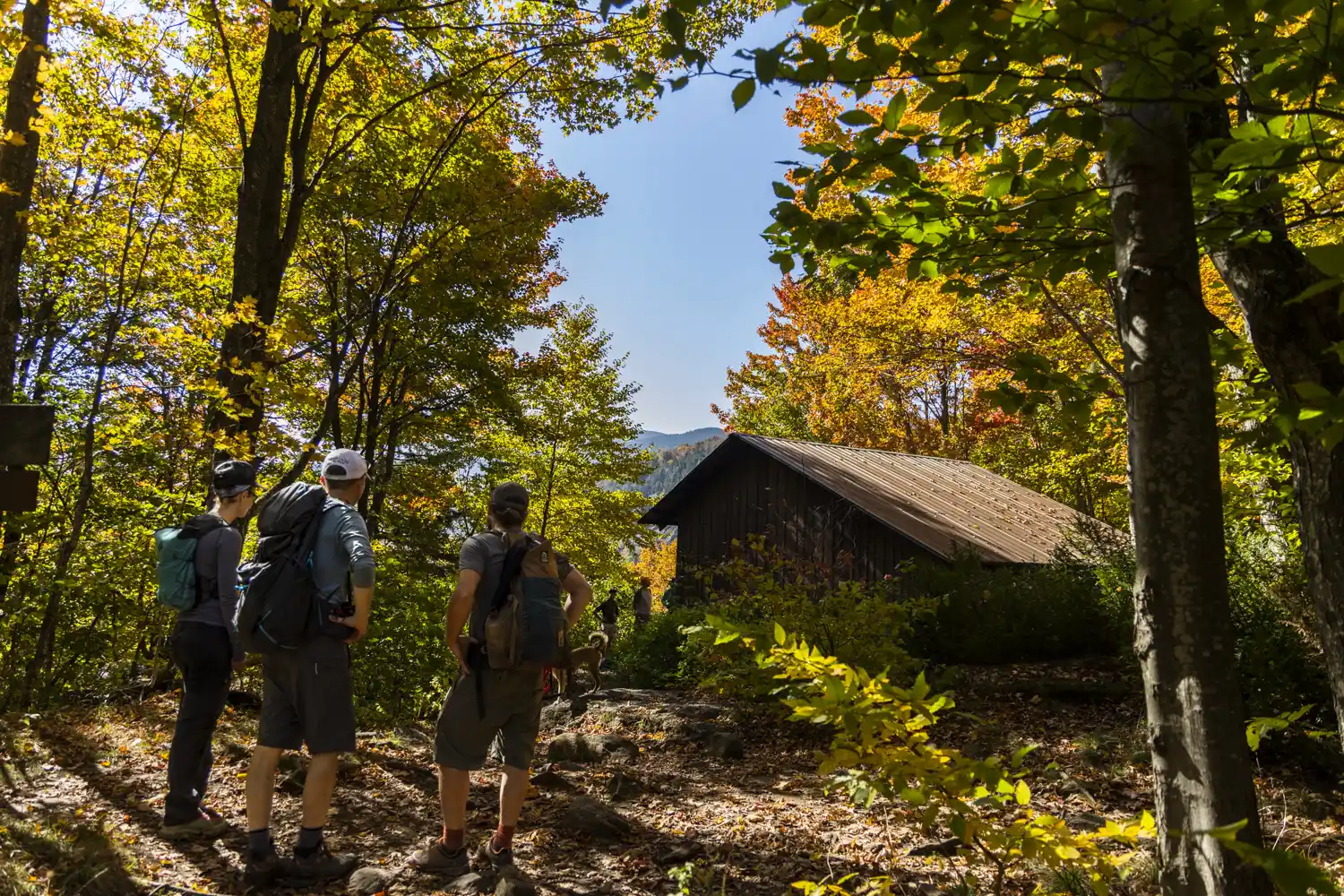
Nebraska Notch to Taylor Lodge
This is a good moderate day hike or beginner-friendly overnight trip. From Stevensville Rd. Trailhead register, take a right onto Nebraska Notch Trail and follow it for1.5 mi. Nebraska Notch Trail is a gradual climb through the woods and near streams to reach Nebraska Notch. Where Nebraska Notch and the Long Trail intersect, take a…
-
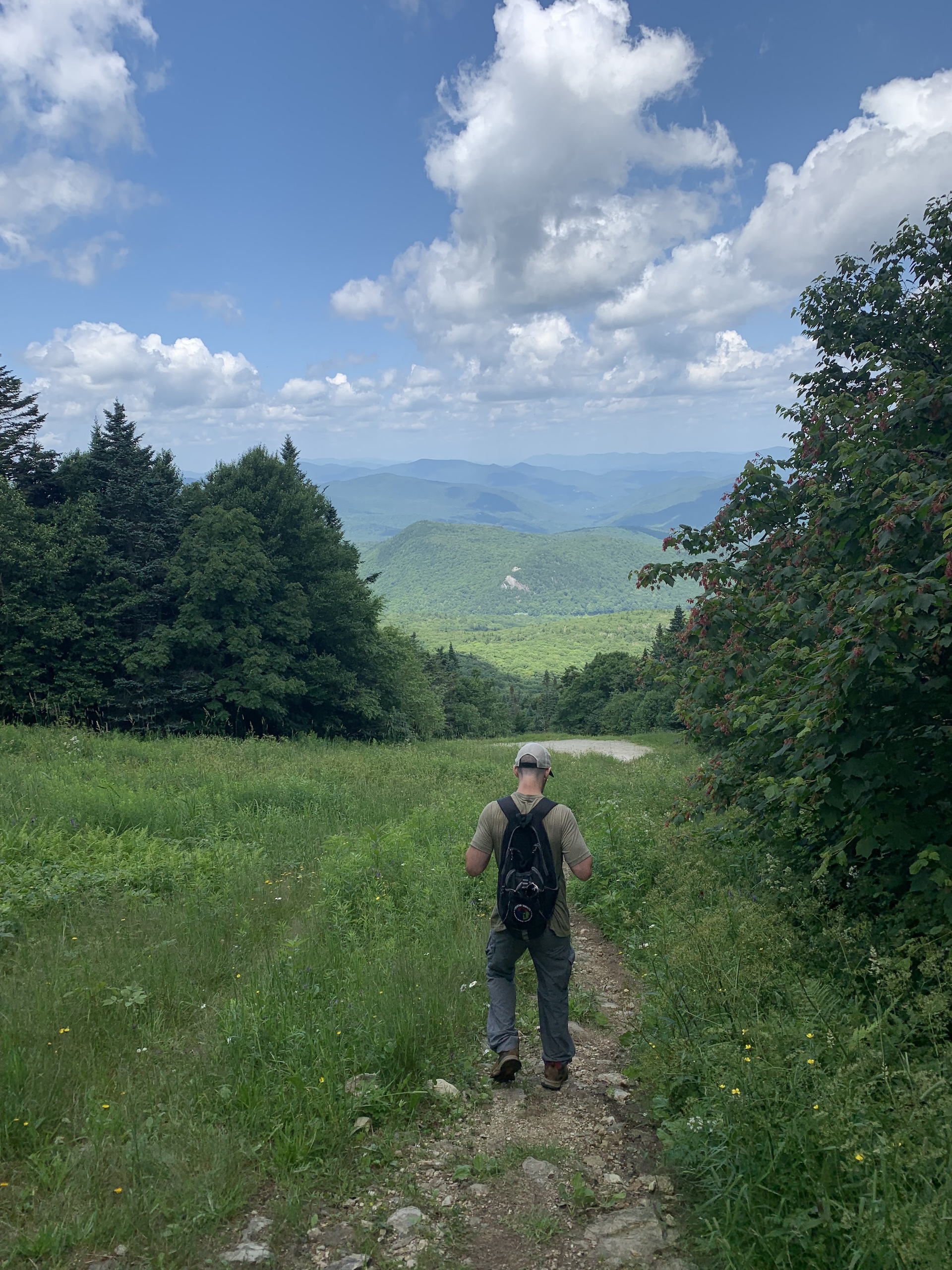
Pico Peak
From the Deer Leap/Pico Peak parking area on Route 4, take the Sherburne Pass Trail south gradually climbing for 2.7 miles to Pico Camp, a small four-sided shelter. Ski trails allow for nice views along the way. Note that the trail crosses a few ski trails and service roads, which can be confusing; follow the blue blazes. From Pico Camp, follow the Pico Link trail for 0.4…
Search results come from a curated selection of all GMC-managed trails. GMC manages the Long Trail, its 88 side trails, the entire Appalachian Trail in VT, and 30+ miles of trail in the Northeast Kingdom. Additionally, there are hundreds more hiking trails in the state, in state parks, state forests, town forests, and on private land. Those can be found on TrailFinder, which works directly with land managers to ensure accurate information.
Don’t Forget Your Map
Paper maps make great hiking companions. Cell service is limited and batteries can die. Purchase a guidebook, Long Trail Map or area-specific hiking map produced by the Green Mountain Club, so you know you have the most accurate and up-to-date information in your pocket.


More Hiking Resources


GMC Hike Experts at Your Fingertips
Need more information? Call, email, or visit the GMC Visitor Center to get custom hike planning advice and trail recommendations.