Hike Feature: 4,000 Footers

  • Killington Summit via Bucklin Trail

    Killington Summit via Bucklin Trail

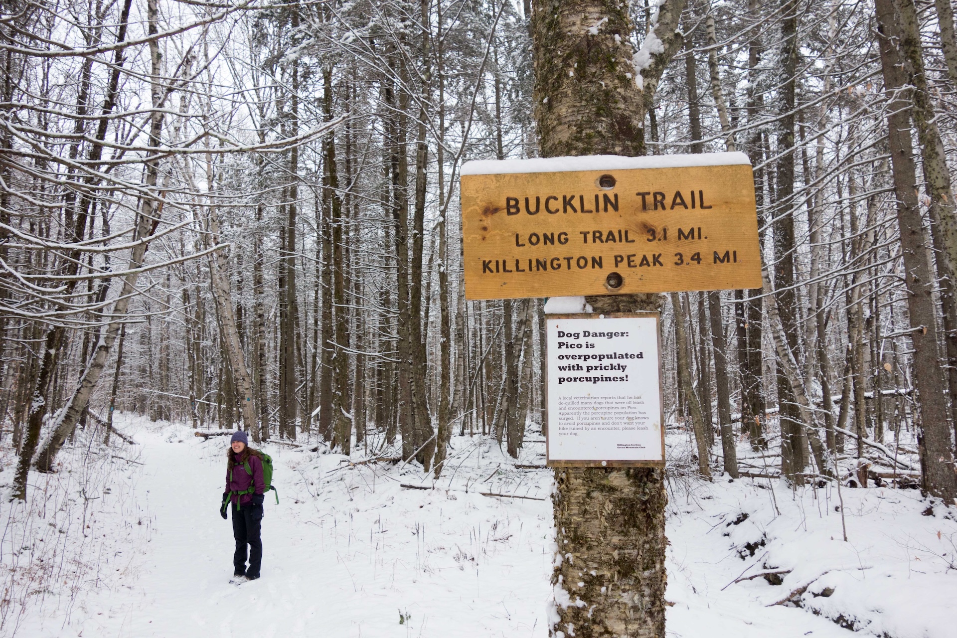
    Killington (4235′) is the highest peak in the Coolidge Range. The Bucklin Trail is located on the western side and is the most direct approach to the summit.   At Brewer’s Corners parking lot navigate to the Bucklin Trail. The trail gradually follows an old road for about 2 miles before leaving the road and…


  • Killington Summit via Sherburne Pass Trail

    Killington Summit via Sherburne Pass Trail

    For a longer trip to the top of Vermont’s second-highest peak, take the Sherburne Pass Trail south from the parking lot at Rt 4. Pass Pico Camp (2.7 mi) and continue another 0.4 mi to an intersection with the Long Trail at Jungle Junction (3.1 mi). Follow the LT South as it gradually climbs for 2.3 miles to Cooper Lodge, the highest shelter on the Long Trail…


  • Forest City, Long Trail, and Burrows Trail Loop

    Forest City, Long Trail, and Burrows Trail Loop

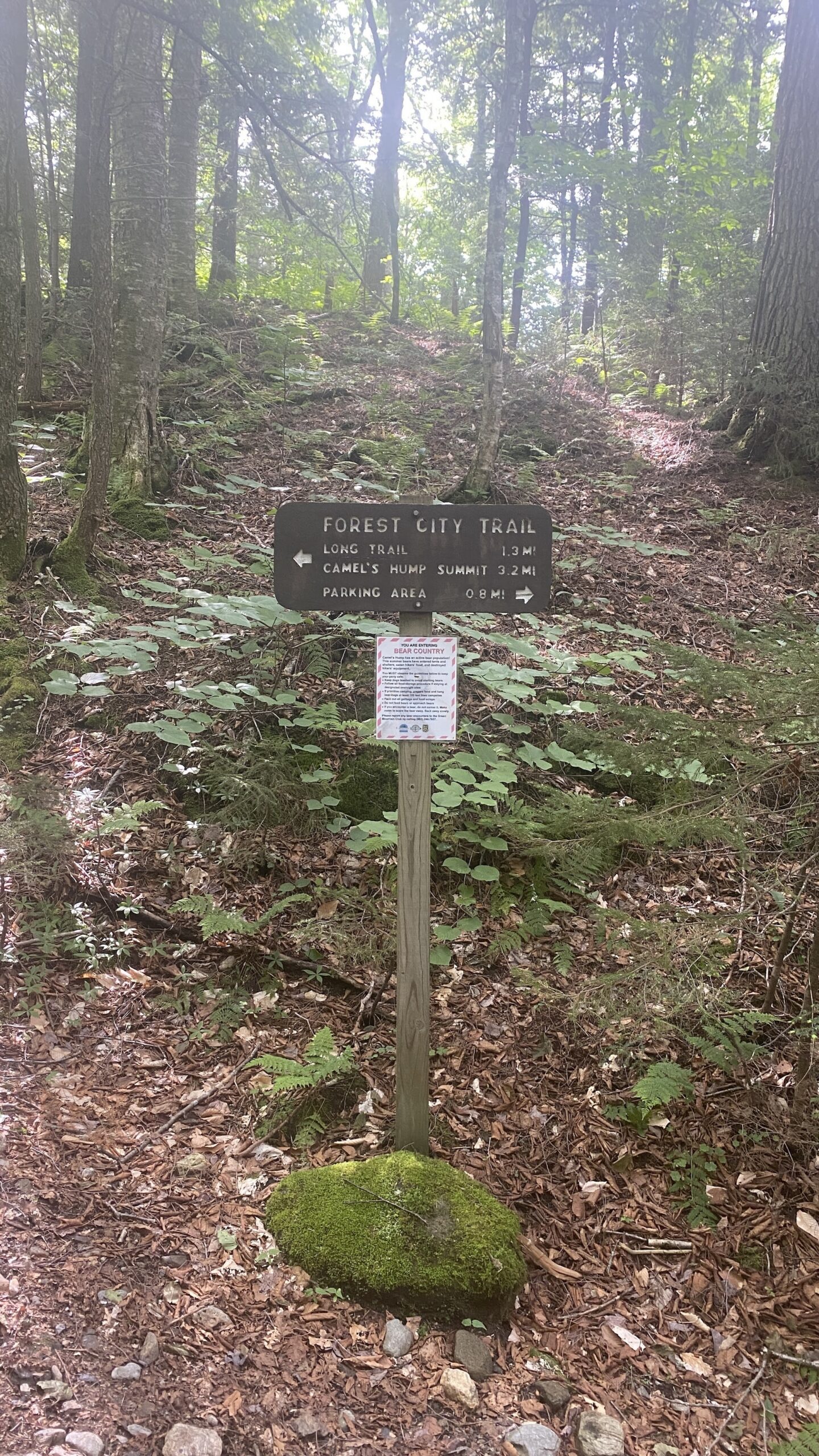
    This challenging loop to the Camel’s Hump summit is a fun alternative to the popular out-and-back Burrows route.  Starting at the Lower/Forest City lot, take Forest City Trail follow an old logging road and cross over Brush Brook, passing an intersection with the Forest City Connector (0.8 mi). Continue on Forest City Trail, climbing gradually for 1.4 mi. to the intersection with Montclair Glen Lodge and the Long Trail (2.2 mi). Turn left/north on the white-blazed Long Trail…


  • Burrows Trail

    Burrows Trail

    See the results of a three-year restoration of the extremely popular Burrows Trail, completed by GMC and FPR in 2024. This trail is steep and difficult, but the work put in by crews over the last three years has made the footing a lot more manageable. There are a few new re-routes on the lower part…


  • Camel’s Hump Summit via Monroe and Alpine Trails

    Camel’s Hump Summit via Monroe and Alpine Trails

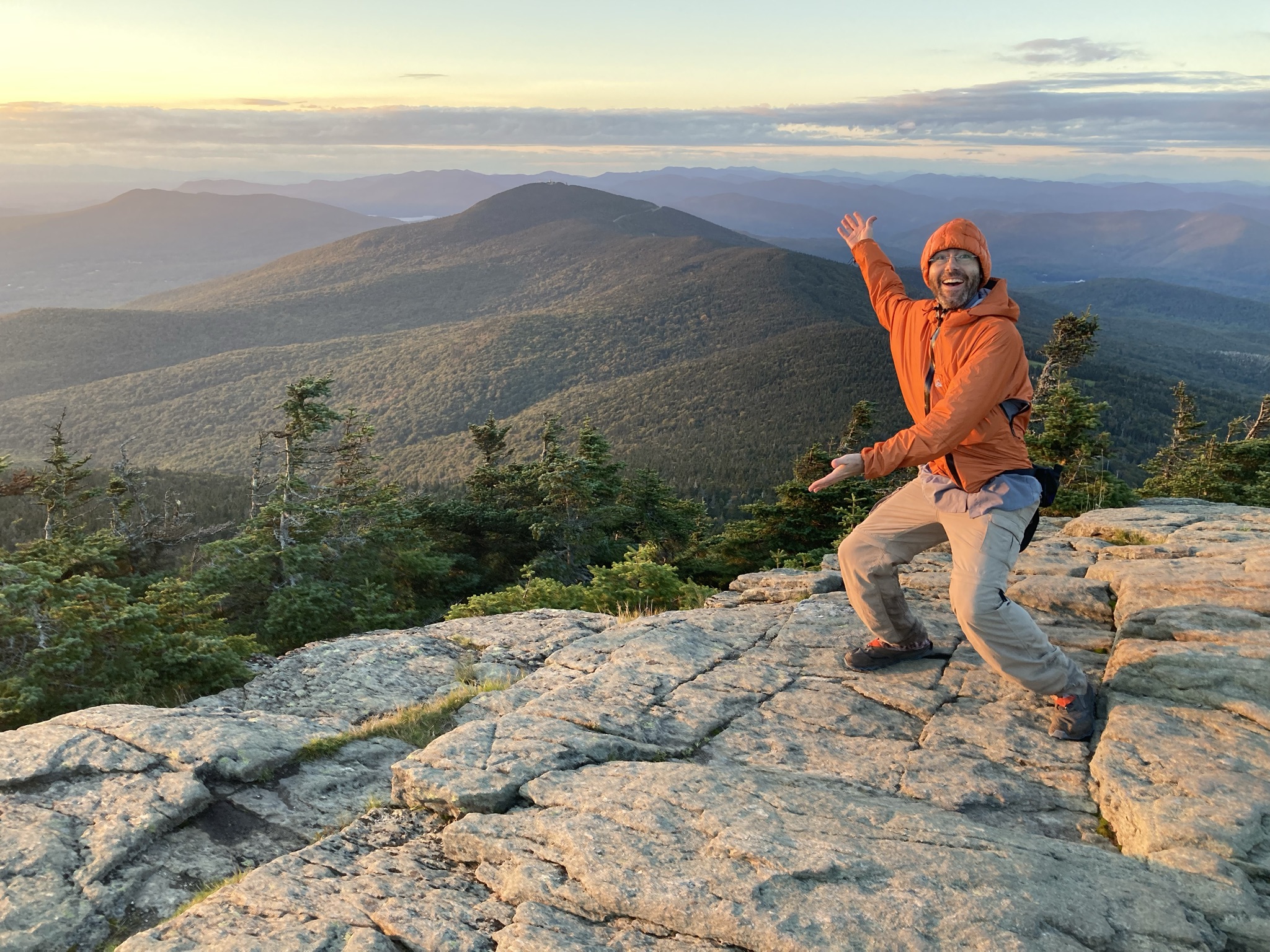
    From the Monroe Parking lot, follow the blue-blazed Monroe Trail for 1.3 mi. At the intersection with Dean Trail, stay right on Monroe for 1.2 mi (2.5 mi). At intersection with the Alpine Trail continue right on Alpine Trail for 1.2 mi (3.7 mi). Turn left onto Long Trail South for 0.8 mi towards the summit (4.5 mi). From the Hut Clearing continue on Long Trail South for 0.3 mi (4.8 mi). to the summit.  The summit of Camel’s Hump is one of the five tallest in Vermont at 4,083’ and offers 360-degree views to the Adirondacks, Whites, and Green Mountains. Continue over the…


  • Camel’s Hump Summit via Monroe and Dean Trails

    Camel’s Hump Summit via Monroe and Dean Trails

    From the Monroe Parking lot, follow the blue-blazed Monroe Trail for 1.3 mi. At the first intersection take a left onto Dean Trail, continuing for 1.0 mi. to Wind Gap (2.3 mi). From Wind Gap take a right onto Long Trail North. Follow for 1.5 mi. to the summit of Camel’s Hump (3.8 m.). The summit of Camel’s Hump is one of the five tallest in Vermont at 4,083’ and offers 360-degree views to the…


  • Mt. Abraham via the Long Trail

    Mt. Abraham via the Long Trail

    From the Lincoln Gap trailhead, hike north on the Long Trail for 1.7 miles to Battell Shelter. Continue 0.9 miles on Long Trail North (2.6 mi). This section north of the shelter includes a few rocky scrambles before emerging above tree line and reaching the Mount Abraham summit at 4,006’. Mt. Abe is one of the five 4,000-foot peaks in Vermont, and from the summit there are views of the Champlain Valley…


  • Monroe Skyline

    Monroe Skyline

    This classic section of the Long Trail, the Monroe Skyline day hike, requires two cars and a drop-off at one end of the hike. It can be hiked in either direction but this description goes north to south. This hike summits two of Vermont’s five 4,000-foot peaks (Mt. Abraham and Mt. Ellen). Allow all day for this hike, or stay…


  • Section Hike: Camel’s Hump to Route 108

    Section Hike: Camel’s Hump to Route 108

    This challenging, 35-mile itinerary traverses some of the most iconic summits of the Long Trail, Camel’s Hump and Mount Mansfield, and crosses the Winooski River Valley. With 10,000 feet of elevation gain, it offers amazing 360-degree views of the Long Trail, the White Mountains in New Hampshire, Lake Champlain, and the Adirondacks in New York.…


  • Battell Trail to Battell Shelter

    Battell Trail to Battell Shelter

    From Elder Hill Rd. parking lot, climb steadily through a sugarbush for almost a mile. After crossing two small streams and an old woods road (1.0 mi.), and then another woods road (1.2 mi.), arrive at the LT (2.0 mi.) just south of Battell Shelter. Take a right onto Long Trail North for 0.1 mi until reaching Battell Shelter (2.1 mi). To return, take Battell Trail back down…