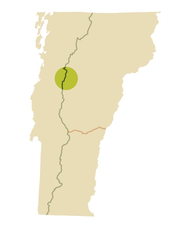
Camel’s Hump Area Trails
Spruce Fir Forest, Alpine Peaks, 360-degree Views
Camel’s Hump is an iconic silhouette visible from many parts of north-central Vermont. Camel’s Hump is one of just three summits in Vermont home to fragile arctic-alpine vegetation, so your care is needed to stay on designated trails and protect these rare plants from damage from human footsteps.
Explore multiple ways to summit the 4,000-footer, or venture slightly south to the beautiful Monroe Skyline, home to the summits of Mt. Abraham and Mt. Ellen.
Camel’s Hump Hike Suggestions
There are many loops and combinations of hikes you can do in the Camel’s Hump and Monroe Skyline area; here are a few we recommend.
From Burrows (West) Parking Lot
From Monroe (East) Parking Lot
- Monroe Trail > Dean Trail > Long Trail North > Summit
- Monroe Trail > Alpine Trail > Long Trail South > Summit
- Camel’s Hump View Accessible Trail
From Duxbury Window Parking Lot
Monroe Skyline Hikes
Click a link below to view hikes on Stark Mountain, Mt. Abraham, and Mt. Ellen.
Don’t Forget Your Map
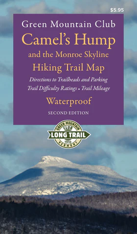
The Green Mountain Club’s Camel’s Hump Area Waterproof Hiking Map, 2nd Edition, is the best companion for these hikes. We recommend always carrying a paper map and compass, as technology can fail and cell phone batteries can die. The map is also available in digital version from Avenza.
Mountain Weather
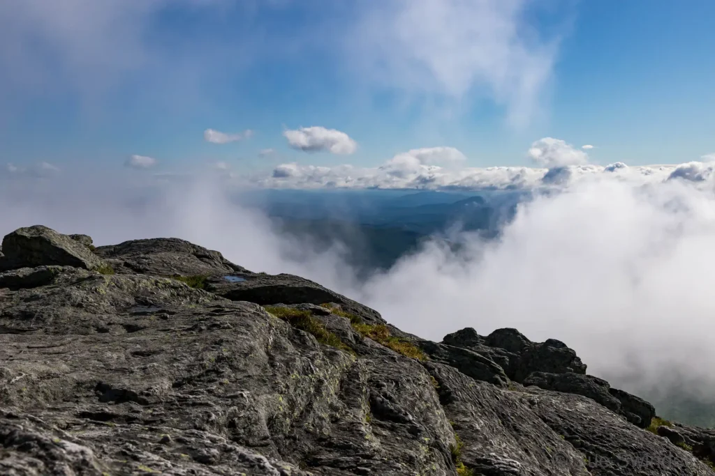
Many of these hikes are strenuous and mountain weather can change quickly. Always check the near-term mountain weather forecast for your hike before you begin, and pack or alter plans accordingly. We recommend the National Weather Service’s Summit Forecasts and mountain-weather.com.